

Global Weekly Snow Roundup #314
Weekly Global Snow News, updated 14 May 2026: Fresh snowfall in Argentina, Australia and Lesotho signals winter’s approach, while Japan maintains the world’s deepest snowpack.

Next 3 days weather summary:Moderate rain (total 12.0mm), heaviest on Sun afternoon. Freeze-thaw conditions (max 10°C on Mon afternoon, min -2°C on Sat morning). Wind will be generally light. | Days 4-6 weather summary:Light rain (total 5.0mm), mostly falling on Tue afternoon. Warm (max 20°C on Thu afternoon, min 6°C on Tue morning). Wind will be generally light. | |||||||||||||||||
Saturday 16 | Sunday 17 | Monday 18 | Tuesday 19 | Wednesday 20 | Thursday 21 | |||||||||||||
AM | PM | night | AM | PM | night | AM | PM | night | AM | PM | night | AM | PM | night | AM | PM | night | |
some clouds | light rain | light rain | cloudy | light rain | rain shwrs | cloudy | light rain | light rain | cloudy | light rain | rain shwrs | clear | rain shwrs | rain shwrs | clear | some clouds | rain shwrs | |
km/h | ||||||||||||||||||
Snow map |  |  |  |  |  |  | ||||||||||||
— | — | — | — | — | — | — | — | — | — | — | — | — | — | — | — | — | — | |
— | 1 | 1 | — | 4 | 3 | — | 2 | 1 | — | 1 | 1 | — | 1 | 1 | — | — | 1 | |
max °C | 2 | 5 | 3 | 6 | 6 | 4 | 8 | 10 | 8 | 9 | 11 | 9 | 14 | 17 | 13 | 17 | 20 | 16 |
min °C | -2 | 4 | 2 | 3 | 5 | 2 | 4 | 9 | 5 | 6 | 10 | 7 | 9 | 15 | 10 | 12 | 20 | 12 |
-5 | 2 | 2 | 3 | 5 | 1 | 3 | 9 | 4 | 6 | 9 | 7 | 9 | 15 | 10 | 12 | 20 | 12 | |
85 | 82 | 94 | 79 | 94 | 90 | 70 | 77 | 73 | 76 | 74 | 87 | 58 | 72 | 72 | 47 | 50 | 62 | |
1850 | 2450 | 2150 | 2350 | 2450 | 2250 | 2600 | 2800 | 2750 | 2950 | 3100 | 3200 | 3550 | 3800 | 4000 | 4050 | 4100 | 3900 | |
6:35 | — | — | 6:33 | — | — | 6:33 | — | — | 6:31 | — | — | 6:31 | — | — | 6:30 | — | — | |
— | — | 9:14 | — | — | 9:15 | — | — | 9:15 | — | — | 9:16 | — | — | 9:17 | — | — | 9:19 | |
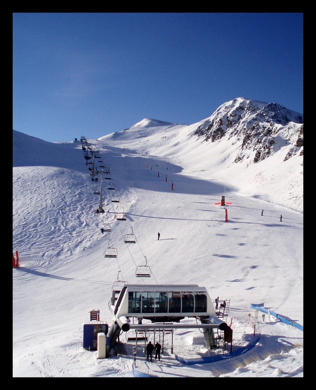
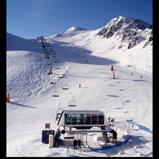
Latest snow reports near Peyragudes:
| Top snow depth: | — |
|---|---|
| Bottom snow depth: | — |
| Fresh snowfall depth: | 12 cm |
| Last snowfall: | 15 May 2026 |
| Snow Alerts | Create Alert |
0.0 | Bluebird Powder days Fresh snow, mostly sunny, light wind. |
|---|---|
0.0 | Powder days Fresh snow, limited sun, any wind. |
0.0 | Bluebird days Average snow, mostly sunny, light wind. |
The above table gives the weather forecast for Peyragudes at the specific elevation of 1600 m. Our sophisticated weather models allow us to provide snow forecasts for the top, middle and bottom ski stations of Peyragudes. To access the weather forecasts for the other elevations, use the tab navigation above the table. For a wider view of the weather, check out the Weather Map of France.
Click here to read further information on freezing levels and how we forecast our temperatures.
Overall 3.9 Based on 21 votes and 13 reviews
Client fidèle de la station de Peyragudes, je viens chaque année pour une semaine dans la station avec mes enfants. Il nous tarde les vacances d'hiver pour venir en espérant que la neige soit au RDV. Mes enfants sont contents car depuis tout petits ils skient depuis le début à Peyragudes.. Ils ont le même moniteur du coup c'est cool. En espérant une chute de neige bientôt pour eux car le personnel est super cool et accueillant.
Jérôme from France writes:
Client fidèle de la station de Peyragudes, je viens chaque année pour une semaine dans la station avec mes enfants.
Il nous tarde les vacances d'hiver pour venir en espérant que la neige soit au RDV.
Mes enfants sont contents car depuis tout petits ils skient depuis le début à Peyragudes..
Ils ont le même moniteur du coup c'est cool.
En espérant une chute de neige bientôt pour eux car le personnel est super cool et accueillant.


 Nearest