

Global Weekly Snow Roundup #314
Weekly Global Snow News, updated 14 May 2026: Fresh snowfall in Argentina, Australia and Lesotho signals winter’s approach, while Japan maintains the world’s deepest snowpack.

Next 3 days weather summary:A light covering of new snow, mostly falling on Mon night. Temperatures will be below freezing (max -1°C on Mon afternoon, min -10°C on Sat night). Wind will be generally light. | Days 4-6 weather summary:Light rain (total 3.0mm), mostly falling on Wed afternoon. Freeze-thaw conditions (max 7°C on Thu afternoon, min -3°C on Tue morning). Wind will be generally light. | |||||||||||||||||
Saturday 16 | Sunday 17 | Monday 18 | Tuesday 19 | Wednesday 20 | Thursday 21 | |||||||||||||
AM | PM | night | AM | PM | night | AM | PM | night | AM | PM | night | AM | PM | night | AM | PM | night | |
light snow | light snow | snow shwrs | clear | snow shwrs | light snow | snow shwrs | light snow | light snow | some clouds | light snow | light snow | cloudy | rain shwrs | rain shwrs | clear | clear | clear | |
km/h | ||||||||||||||||||
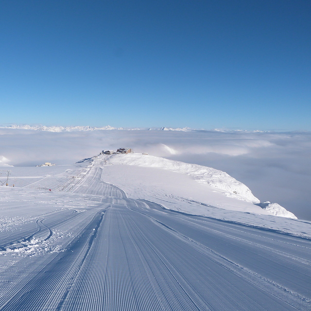
Snow map |  |  |  |  |  |  | ||||||||||||
1 | — | — | — | — | 1 | — | 1 | 2 | — | — | — | — | — | — | — | — | — | |
— | — | — | — | — | — | — | — | — | — | — | — | — | 2 | 1 | — | — | — | |
max °C | -7 | -5 | -7 | -4 | -2 | -3 | -2 | -1 | -2 | -1 | 2 | 0 | 1 | 4 | 2 | 4 | 7 | 4 |
min °C | -8 | -5 | -10 | -6 | -2 | -5 | -4 | -1 | -5 | -3 | 1 | -2 | -1 | 3 | -1 | 2 | 6 | 1 |
-14 | -10 | -14 | -6 | -4 | -8 | -6 | -4 | -8 | -3 | 1 | -4 | -4 | 1 | -4 | 0 | 4 | -1 | |
87 | 84 | 61 | 59 | 81 | 97 | 86 | 89 | 93 | 83 | 82 | 94 | 77 | 68 | 69 | 62 | 44 | 40 | |
1800 | 2050 | 1000 | 2200 | 2500 | 2100 | 2400 | 2600 | 2150 | 2600 | 2900 | 2650 | 2800 | 3200 | 3100 | 3150 | 3650 | 3600 | |
5:43 | — | — | 5:41 | — | — | 5:39 | — | — | 5:39 | — | — | 5:37 | — | — | 5:37 | — | — | |
— | — | 8:45 | — | — | 8:45 | — | — | 8:47 | — | — | 8:49 | — | — | 8:50 | — | — | 8:51 | |
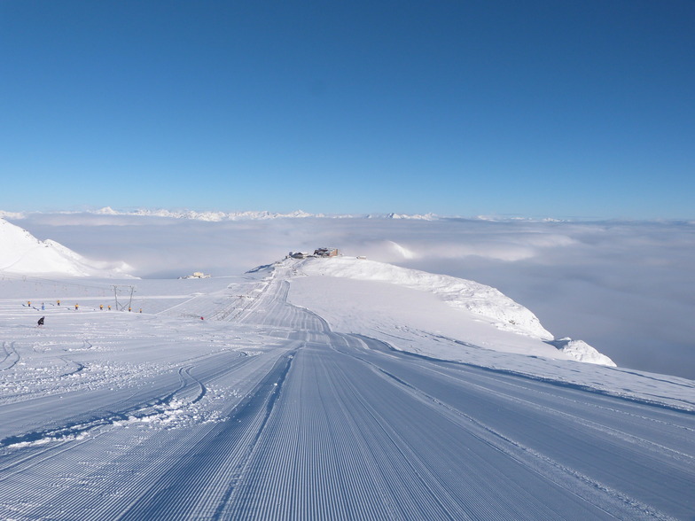
Latest snow reports near Passo Stelvio:
| Top snow depth: | — |
|---|---|
| Bottom snow depth: | — |
| Fresh snowfall depth: | 35 cm |
| Last snowfall: | 15 May 2026 |
| Snow Alerts | Create Alert |
0.3 | Bluebird Powder days Fresh snow, mostly sunny, light wind. |
|---|---|
1.5 | Powder days Fresh snow, limited sun, any wind. |
0.3 | Bluebird days Average snow, mostly sunny, light wind. |

The above table gives the weather forecast for Passo Stelvio at the specific elevation of 2761 m. Our sophisticated weather models allow us to provide snow forecasts for the top, middle and bottom ski stations of Passo Stelvio. To access the weather forecasts for the other elevations, use the tab navigation above the table. For a wider view of the weather, check out the Weather Map of Italy.
Click here to read further information on freezing levels and how we forecast our temperatures.
Overall 3.0 Based on 12 votes and 4 reviews
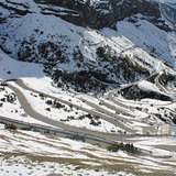
It's a pity that the pass is closed during the winter. Especially at that time there is enough snow. In the summer months the amount of snow is very less and the slopes are messy due to the temperature. But then the pass is beautiful to drive with its 48 hairpins at the Ost-Tirol side the nice road to Bormio at the other side of the mountain. I would I could be there now.
lotusridder from Netherlands writes:
It's a pity that the pass is closed during the winter. Especially at that time there is enough snow. In the summer months the amount of snow is very less and the slopes are messy due to the temperature. But then the pass is beautiful to drive with its 48 hairpins at the Ost-Tirol side the nice road to Bormio at the other side of the mountain. I would I could be there now.


 Nearest