The above table gives the weather forecast for Grandvalira-Pas de la Casa at the specific elevation of 2050 m. Our sophisticated weather models allow us to provide snow forecasts for the top, middle and bottom ski stations of Grandvalira-Pas de la Casa. To access the weather forecasts for the other elevations, use the tab navigation above the table. For a wider view of the weather, check out the Weather Map of Andorra.
Click here to read further information on freezing levels and how we forecast our temperatures.
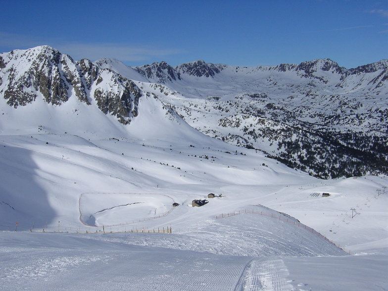
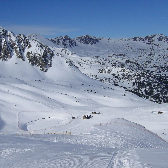
I live in Andorra and ski almost every day of every season for 5 seasons. Pas is a pretty nice ski area, but it has two things that make it tricky. It's mostly eastern exposure, so it gets a lot of sun in the early part of the day, and gets cold again in the afternoon. It has different weather than Grau Roig, one of the colder areas with pretty good snow, and tends to get more fog and clouds than other ski areas. The approach from the top of the lifts to Pas is either advanced terrain, or through one place that has a lot of traffic. Lower down it's better. Grandvalira is a big resort with different snow everywhere; if you don't like it move to other places. There are some easier runs in the valley after Grau Roig that have some good snow, and might be better than Pas on a sunny day. With respect to snow, the weather brings what it brings. The most reliable is February and early March, 2012/13 it was hard to go wrong. This year is predicted by many people to be as epic as last year. Enjoy the season.
I live in Andorra and ski almost every day of every season for 5 seasons. Pas is a pretty nice ski area, but it has two things that make it tricky. It's mostly eastern exposure, so it gets a lot of sun in the early part of the day, and gets cold again in the afternoon. It has different weather than Grau Roig, one of the colder areas with pretty good snow, and tends to get more fog and clouds than other ski areas. The approach from the top of the lifts to Pas is either advanced terrain, or through one place that has a lot of traffic. Lower down it's better. Grandvalira is a big resort with different snow everywhere; if you don't like it move to other places. There are some easier runs in the valley after Grau Roig that have some good snow, and might be better than Pas on a sunny day. With respect to snow, the weather brings what it brings. The most reliable is February and early March, 2012/13 it was hard to go wrong. This year is predicted by many people to be as epic as last year. Enjoy the season.
Free Snow-Forecast.com weather widget for your website
Embed the Grandvalira-Pas de la Casa weather widget on your site for free. It provides a weekly snapshot of snow and rain conditions across all elevations. Follow the two quick steps to grab your custom code and paste it into your site. Choose between metric or imperial units. Click here to get the code.


 Nearest