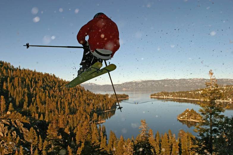


Portillo Storm Snowfall Total Passes 5m / 17 Feet
A snow storm that has now continued for nine days has taken Chilean ski resort Portillo to a snowfall total of 5.2 metres (17 feet) so far, with more snow forecast.

Next 3 days weather summary:Mostly dry. Warm (max 21°C on Thu afternoon, min 14°C on Tue night). Wind will be generally light. | Days 4-6 weather summary:Mostly dry. Warm (max 23°C on Fri afternoon, min 16°C on Sun night). Wind will be generally light. | ||||||||||||||||
Tue 28 | Wednesday 29 | Thursday 30 | Friday 31 | Saturday 1 | Sunday 2 | ||||||||||||
PM | night | AM | PM | night | AM | PM | night | AM | PM | night | AM | PM | night | AM | PM | night | |
clear | clear | clear | clear | clear | clear | clear | clear | clear | clear | clear | clear | clear | clear | clear | clear | clear | |
km/h | |||||||||||||||||
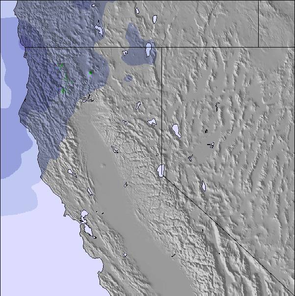
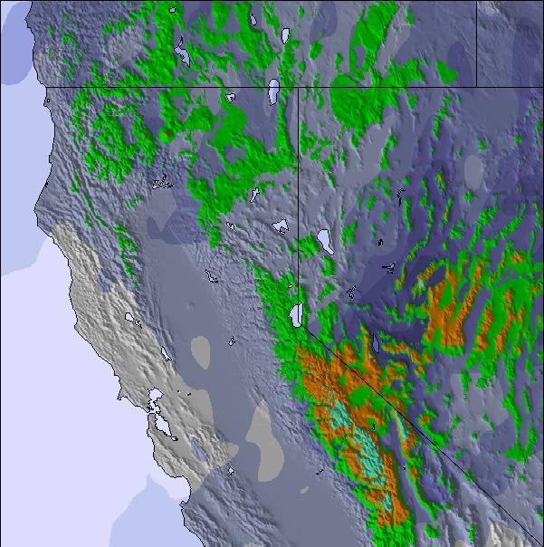
Snow map | 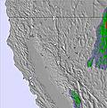 | 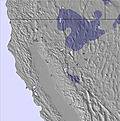 | 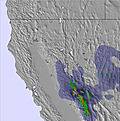 | 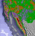 | 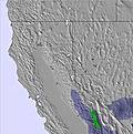 | 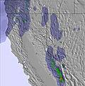 | |||||||||||
— | — | — | — | — | — | — | — | — | — | — | — | — | — | — | — | — | |
mm | — | — | — | — | — | — | — | — | — | — | — | — | — | — | — | — | — |
max °C | 20 | 18 | 17 | 20 | 18 | 17 | 21 | 19 | 18 | 23 | 21 | 20 | 23 | 21 | 19 | 22 | 20 |
min °C | 18 | 14 | 15 | 19 | 15 | 15 | 20 | 15 | 16 | 22 | 17 | 18 | 23 | 17 | 18 | 22 | 16 |
chill °C | 18 | 14 | 15 | 19 | 14 | 14 | 20 | 14 | 15 | 22 | 16 | 18 | 23 | 16 | 18 | 22 | 16 |
Humid % | 10 | 18 | 16 | 13 | 12 | 13 | 16 | 12 | 14 | 12 | 17 | 7 | 8 | 8 | 9 | 10 | 12 |
Freeze m | 5100 | 4900 | 4850 | 5100 | 5050 | 5050 | 5300 | 5400 | 5400 | 5750 | 5650 | 5400 | 5600 | 5500 | 5350 | 5500 | 5350 |
— | — | 5:54 | — | — | 5:56 | — | — | 5:56 | — | — | 5:58 | — | — | 5:58 | — | — | |
— | 8:15 | — | — | 8:15 | — | — | 8:14 | — | — | 8:13 | — | — | 8:12 | — | — | 8:10 | |
Go pro and carve into:
Avalanche information: National Avalanche Center
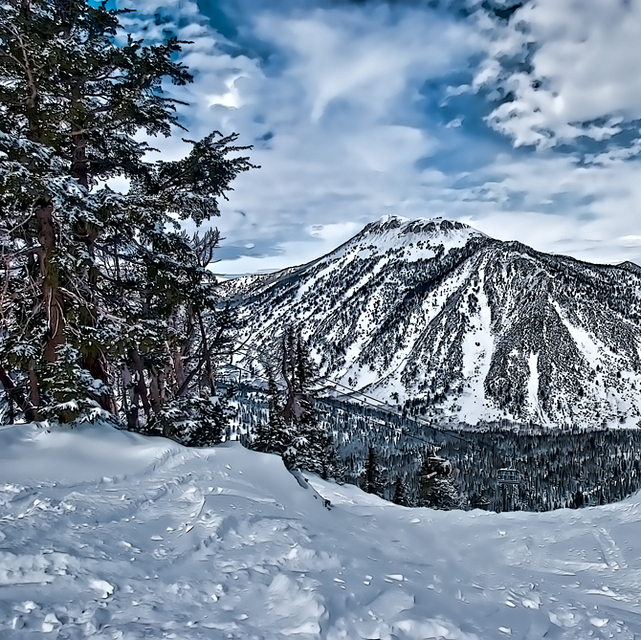
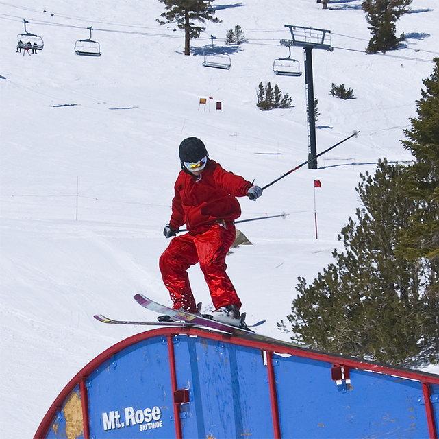
Latest snow reports near Mt Rose Ski at Tahoe:
| Top snow depth: | 0 cm |
|---|---|
| Bottom snow depth: | 0 cm |
| Fresh snowfall depth: | — |
| Last snowfall: | 28 May 2026 |
| Snow Alerts | Create Alert |
0.0 | Bluebird Powder days Fresh snow, mostly sunny, light wind. |
|---|---|
0.0 | Powder days Fresh snow, limited sun, any wind. |
0.0 | Bluebird days Average snow, mostly sunny, light wind. |
The above table gives the weather forecast for Mt Rose Ski at Tahoe at the specific elevation of 2682 m. Our sophisticated weather models allow us to provide snow forecasts for the top, middle and bottom ski stations of Mt Rose Ski at Tahoe. To access the weather forecasts for the other elevations, use the tab navigation above the table. For a wider view of the weather, check out the Weather Map of United States.
Click here to read further information on freezing levels and how we forecast our temperatures.
Overall 3.0 Based on 12 votes and 3 reviews
Uncrowded, good snow, very good grooming on all types of terrain, low vibe with basic services, but adequate. Great views especially on the Winter Creek side. Tree skiing can be good even after a few days. Winds can be an issue because of the elevation. The base is 8,260 and the top around 10,000. The Chutes are very steep and live up to their reputation. Not always open, but awesome if you have the talent.
Michael from United States writes:
Uncrowded, good snow, very good grooming on all types of terrain, low vibe with basic services, but adequate. Great views especially on the Winter Creek side. Tree skiing can be good even after a few days. Winds can be an issue because of the elevation. The base is 8,260 and the top around 10,000. The Chutes are very steep and live up to their reputation. Not always open, but awesome if you have the talent.
Read 2 more reviews of Mt Rose Ski at Tahoe or submit your own

 Nearest