

Global Weekly Snow Roundup #314
Weekly Global Snow News, updated 14 May 2026: Fresh snowfall in Argentina, Australia and Lesotho signals winter’s approach, while Japan maintains the world’s deepest snowpack.

Next 3 days weather summary:Moderate rain (total 16.0mm), heaviest on Mon night. Freeze-thaw conditions (max 9°C on Sun afternoon, min -2°C on Sat morning). Wind will be generally light. | Days 4-6 weather summary:Light rain (total 4.0mm), mostly falling on Tue afternoon. Very mild (max 15°C on Thu afternoon, min 4°C on Tue morning). Wind will be generally light. | |||||||||||||||||
Saturday 16 | Sunday 17 | Monday 18 | Tuesday 19 | Wednesday 20 | Thursday 21 | |||||||||||||
AM | PM | night | AM | PM | night | AM | PM | night | AM | PM | night | AM | PM | night | AM | PM | night | |
snow shwrs | light snow | rain shwrs | some clouds | some clouds | some clouds | light rain | light rain | mod. rain | cloudy | light rain | rain shwrs | clear | some clouds | some clouds | clear | some clouds | clear | |
km/h | ||||||||||||||||||
Snow map |  |  |  |  |  |  | ||||||||||||
— | 1 | — | — | — | — | — | — | — | — | — | — | — | — | — | — | — | — | |
— | 1 | 1 | — | — | — | 1 | 5 | 8 | — | 3 | 1 | — | — | — | — | — | — | |
max °C | 0 | 2 | 3 | 5 | 9 | 7 | 5 | 6 | 5 | 6 | 5 | 6 | 9 | 13 | 12 | 12 | 15 | 13 |
min °C | -2 | 1 | 0 | 2 | 8 | 4 | 4 | 6 | 3 | 4 | 5 | 6 | 6 | 12 | 9 | 9 | 15 | 11 |
-2 | -1 | 0 | 2 | 7 | 4 | 3 | 4 | 3 | 4 | 4 | 6 | 6 | 12 | 9 | 9 | 15 | 11 | |
73 | 73 | 76 | 52 | 50 | 79 | 77 | 68 | 97 | 79 | 94 | 88 | 71 | 59 | 71 | 52 | 48 | 63 | |
1650 | 1900 | 1600 | 2350 | 2500 | 2200 | 2300 | 2400 | 2100 | 2500 | 2650 | 2700 | 3000 | 3150 | 3550 | 3700 | 3750 | 4050 | |
6:01 | — | — | 6:00 | — | — | 5:58 | — | — | 5:58 | — | — | 5:56 | — | — | 5:56 | — | — | |
— | — | 8:59 | — | — | 9:00 | — | — | 9:00 | — | — | 9:01 | — | — | 9:02 | — | — | 9:04 | |
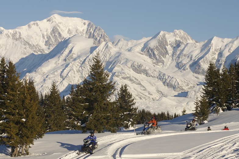
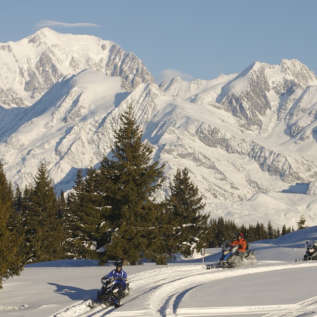
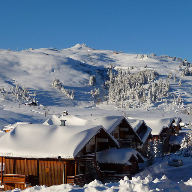
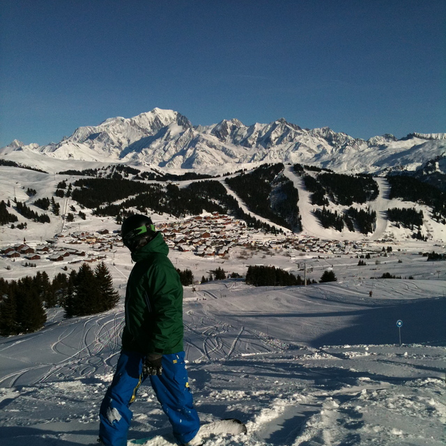
Latest snow reports near Les Saisies:
Moderate rain reported from Haute-Savoie Mont Blanc Airport/Aéroport Annecy/Meythet at 711 metres elevation only 3 kms WNW of Annecy-LeSemnoz but it is forecast cold enough for snow at the ski area from Annecy-LeSemnoz
Light rain reported from Haute-Savoie Mont Blanc Airport/Aéroport Annecy/Meythet at 711 metres elevation only 3 kms WNW of Annecy-LeSemnoz but it is forecast cold enough for snow at the ski area from Annecy-LeSemnoz
| Top snow depth: | — |
|---|---|
| Bottom snow depth: | — |
| Fresh snowfall depth: | 12 cm |
| Last snowfall: | 15 May 2026 |
| Snow Alerts | Create Alert |
0.0 | Bluebird Powder days Fresh snow, mostly sunny, light wind. |
|---|---|
0.1 | Powder days Fresh snow, limited sun, any wind. |
0.0 | Bluebird days Average snow, mostly sunny, light wind. |
The above table gives the weather forecast for Les Saisies at the specific elevation of 1610 m. Our sophisticated weather models allow us to provide snow forecasts for the top, middle and bottom ski stations of Les Saisies. To access the weather forecasts for the other elevations, use the tab navigation above the table. For a wider view of the weather, check out the Weather Map of France.
Click here to read further information on freezing levels and how we forecast our temperatures.
Overall 4.3 Based on 19 votes and 15 reviews
Les Saisies is a great place to stay and to spend your ski holiday; we are regular visitors. There are lots of very pleasant local restaurants in the village and all over the ski area. Within the new centre, aquasportife Le Signal, there is a bowling bar restaurant called Le 1650. We have spent our last evening there and can not recommend the place. The visitors of the bowling are 'owning the place'. Compared with the restaurants in the village the food was too little and the price too high. The view of our place next to the panorama window was blocked by a pile of chairs. The floor manager gave us the advice, after we made our remarks, to choose another restaurant the next time. We will!
Egbert-Jan from Netherlands writes:
Les Saisies is a great place to stay and to spend your ski holiday; we are regular visitors. There are lots of very pleasant local restaurants in the village and all over the ski area. Within the new centre, aquasportife Le Signal, there is a bowling bar restaurant called Le 1650. We have spent our last evening there and can not recommend the place. The visitors of the bowling are 'owning the place'. Compared with the restaurants in the village the food was too little and the price too high. The view of our place next to the panorama window was blocked by a pile of chairs. The floor manager gave us the advice, after we made our remarks, to choose another restaurant the next time. We will!


 Nearest