

Global Weekly Snow Roundup #314
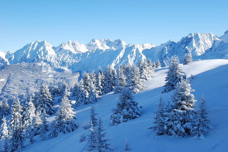
Weekly Global Snow News, updated 14 May 2026: Fresh snowfall in Argentina, Australia and Lesotho signals winter’s approach, while Japan maintains the world’s deepest snowpack.

Next 3 days weather summary:A light covering of new snow, mostly falling on Mon afternoon. Freeze-thaw conditions (max 1°C on Sun afternoon, min -7°C on Sat morning). Wind will be generally light. | Days 4-6 weather summary:Light rain (total 2.0mm), mostly falling on Tue afternoon. Freeze-thaw conditions (max 10°C on Thu afternoon, min 0°C on Tue morning). Wind will be generally light. | |||||||||||||||||
Saturday 16 | Sunday 17 | Monday 18 | Tuesday 19 | Wednesday 20 | Thursday 21 | |||||||||||||
AM | PM | night | AM | PM | night | AM | PM | night | AM | PM | night | AM | PM | night | AM | PM | night | |
snow shwrs | snow shwrs | clear | cloudy | snow shwrs | snow shwrs | light snow | light snow | light snow | cloudy | light snow | rain shwrs | clear | clear | some clouds | some clouds | clear | clear | |
km/h | ||||||||||||||||||
Snow map |  |  |  |  |  |  | ||||||||||||
— | — | — | — | — | — | — | 2 | 2 | — | — | — | — | — | — | — | — | — | |
— | — | — | — | — | — | — | — | — | — | 1 | 1 | — | — | — | — | — | — | |
max °C | -6 | -4 | -2 | 0 | 1 | 0 | 0 | 0 | 0 | 1 | 2 | 2 | 5 | 7 | 7 | 8 | 10 | 9 |
min °C | -7 | -5 | -3 | -1 | 1 | -1 | -1 | 0 | -1 | 0 | 1 | 2 | 3 | 6 | 6 | 7 | 10 | 8 |
-14 | -10 | -7 | -1 | -1 | -4 | -4 | -4 | -4 | -2 | -1 | -1 | 0 | 4 | 4 | 6 | 9 | 7 | |
84 | 71 | 51 | 46 | 85 | 88 | 79 | 78 | 87 | 87 | 94 | 77 | 61 | 58 | 49 | 31 | 30 | 32 | |
1650 | 1950 | 1750 | 2400 | 2500 | 2300 | 2400 | 2450 | 2250 | 2550 | 2800 | 2900 | 3150 | 3400 | 3700 | 3850 | 3950 | 4150 | |
6:05 | — | — | 6:03 | — | — | 6:03 | — | — | 6:01 | — | — | 6:01 | — | — | 6:00 | — | — | |
— | — | 8:59 | — | — | 9:00 | — | — | 9:00 | — | — | 9:01 | — | — | 9:02 | — | — | 9:04 | |
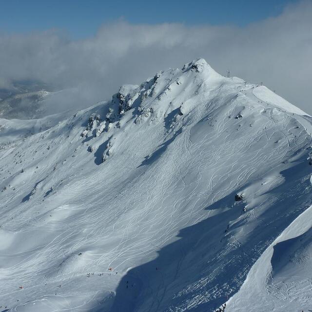
Latest snow reports near Les 7 Laux:
| Top snow depth: | — |
|---|---|
| Bottom snow depth: | — |
| Fresh snowfall depth: | 10 cm |
| Last snowfall: | 15 May 2026 |
| Snow Alerts | Create Alert |
0.3 | Bluebird Powder days Fresh snow, mostly sunny, light wind. |
|---|---|
0.2 | Powder days Fresh snow, limited sun, any wind. |
0.3 | Bluebird days Average snow, mostly sunny, light wind. |
The above table gives the weather forecast for Les 7 Laux at the specific elevation of 2400 m. Our sophisticated weather models allow us to provide snow forecasts for the top, middle and bottom ski stations of Les 7 Laux. To access the weather forecasts for the other elevations, use the tab navigation above the table. For a wider view of the weather, check out the Weather Map of France.
Click here to read further information on freezing levels and how we forecast our temperatures.
Overall 3.8 Based on 56 votes and 13 reviews
Prapoutel is an old fashioned, badly maintained ski resort. Apartments are extremely small and are rented out by Sirius for 6; not even enough beds and chairs available. Lifts are old, skipasses around the arm. No atmosphere whatsoever at apres-ski. Just avoid this place. Although it may look cheap its worth less than you can imagine.
SkiMonster from Netherlands writes:
Prapoutel is an old fashioned, badly maintained ski resort. Apartments are extremely small and are rented out by Sirius for 6; not even enough beds and chairs available. Lifts are old, skipasses around the arm. No atmosphere whatsoever at apres-ski. Just avoid this place. Although it may look cheap its worth less than you can imagine.


 Nearest