

Global Weekly Snow Roundup #314
Weekly Global Snow News, updated 14 May 2026: Fresh snowfall in Argentina, Australia and Lesotho signals winter’s approach, while Japan maintains the world’s deepest snowpack.

Next 3 days weather summary:Heavy rain (total 21.0mm), heaviest during Mon afternoon. Freeze-thaw conditions (max 11°C on Sun afternoon, min 0°C on Sat morning). Wind will be generally light. | Days 4-6 weather summary:Light rain (total 4.0mm), mostly falling on Tue afternoon. Very mild (max 17°C on Thu afternoon, min 5°C on Tue morning). Wind will be generally light. | |||||||||||||||||
Saturday 16 | Sunday 17 | Monday 18 | Tuesday 19 | Wednesday 20 | Thursday 21 | |||||||||||||
AM | PM | night | AM | PM | night | AM | PM | night | AM | PM | night | AM | PM | night | AM | PM | night | |
rain shwrs | rain shwrs | clear | cloudy | rain shwrs | rain shwrs | light rain | mod. rain | mod. rain | cloudy | light rain | rain shwrs | clear | clear | some clouds | some clouds | clear | clear | |
km/h | ||||||||||||||||||
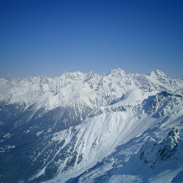
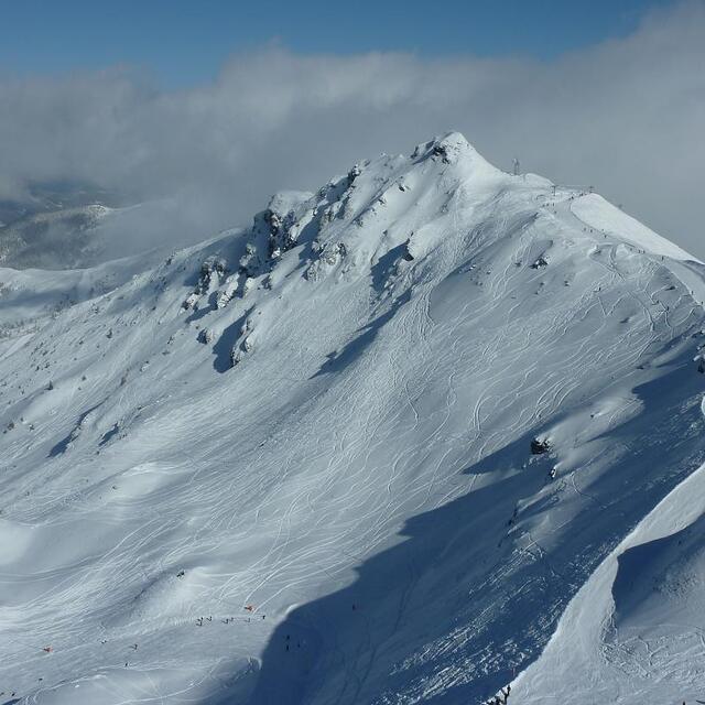
Snow map |  |  |  |  |  |  | ||||||||||||
— | — | — | — | — | — | — | — | — | — | — | — | — | — | — | — | — | — | |
1 | 2 | — | — | 1 | 3 | 1 | 6 | 7 | — | 2 | 2 | — | — | — | — | — | — | |
max °C | 3 | 5 | 4 | 8 | 11 | 7 | 9 | 9 | 6 | 8 | 8 | 7 | 12 | 15 | 12 | 14 | 17 | 13 |
min °C | 0 | 4 | 0 | 3 | 9 | 4 | 6 | 9 | 4 | 5 | 8 | 5 | 8 | 15 | 8 | 10 | 17 | 10 |
-2 | 2 | 0 | 3 | 9 | 4 | 6 | 8 | 4 | 5 | 8 | 4 | 7 | 15 | 8 | 10 | 17 | 10 | |
74 | 65 | 82 | 56 | 64 | 80 | 71 | 70 | 90 | 76 | 90 | 90 | 70 | 59 | 83 | 57 | 49 | 60 | |
1650 | 1950 | 1750 | 2400 | 2500 | 2300 | 2400 | 2450 | 2250 | 2550 | 2800 | 2900 | 3150 | 3400 | 3700 | 3850 | 3950 | 4150 | |
6:05 | — | — | 6:03 | — | — | 6:03 | — | — | 6:01 | — | — | 6:01 | — | — | 6:00 | — | — | |
— | — | 8:59 | — | — | 9:00 | — | — | 9:00 | — | — | 9:01 | — | — | 9:02 | — | — | 9:04 | |
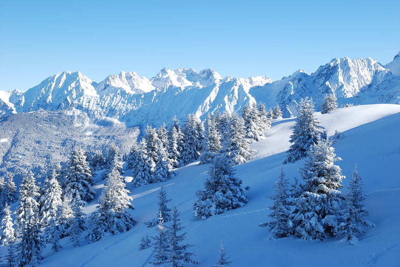
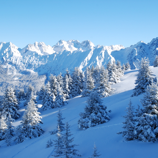
Latest snow reports near Les 7 Laux:
| Top snow depth: | — |
|---|---|
| Bottom snow depth: | — |
| Fresh snowfall depth: | 10 cm |
| Last snowfall: | 15 May 2026 |
| Snow Alerts | Create Alert |
0.0 | Bluebird Powder days Fresh snow, mostly sunny, light wind. |
|---|---|
0.0 | Powder days Fresh snow, limited sun, any wind. |
0.0 | Bluebird days Average snow, mostly sunny, light wind. |
The above table gives the weather forecast for Les 7 Laux at the specific elevation of 1350 m. Our sophisticated weather models allow us to provide snow forecasts for the top, middle and bottom ski stations of Les 7 Laux. To access the weather forecasts for the other elevations, use the tab navigation above the table. For a wider view of the weather, check out the Weather Map of France.
Click here to read further information on freezing levels and how we forecast our temperatures.
Overall 3.8 Based on 56 votes and 13 reviews
Were there winters of 15' and 16' during early March. First time was perfect! The absolute most beautiful place for all around backcountry and park combination for probably the best value in the world. Second time around was lacking in snow. Pretty sad to see the effects of global warming first hand, simply wasn't enough snow to ride so had to move on to a resort higher up in the mountains about a 3 hour drive. All in all though definitely a must if your'e in the area and like to see how the locals shred. Pretty sure they hold x games qualifiers there at some point in the season cuz they have a sick park! Good people, good vibes, highly recommended!
Alon from Israel writes:
Were there winters of 15' and 16' during early March. First time was perfect! The absolute most beautiful place for all around backcountry and park combination for probably the best value in the world. Second time around was lacking in snow. Pretty sad to see the effects of global warming first hand, simply wasn't enough snow to ride so had to move on to a resort higher up in the mountains about a 3 hour drive. All in all though definitely a must if your'e in the area and like to see how the locals shred. Pretty sure they hold x games qualifiers there at some point in the season cuz they have a sick park! Good people, good vibes, highly recommended!


 Nearest