
Visiting Mount Kilimanjaro
Helpful resort information to assist planning your trip.
- Opens—
- Closes—
- Accommodation—
- Restaurants | Bars— | —
- Nearest Airport —
- Nearest Train Station —
- Tourist Office Website—
- Tourist Office Phone—
Mount Kilimanjaro Features
The terrain at Mount Kilimanjaro includes:
- Halfpipes—
- Terrain Parks—
- X-Country—
- Ski Hire—
What's it like at Mount Kilimanjaro?
We would like to extend our thanks to http://www.junglephotos.com for allowing us to use their photo on this web page.
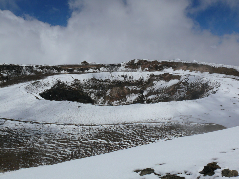
Latest photos from Mount Kilimanjaro. View all photos at the Mount Kilimanjaro gallery page.
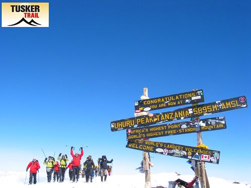 Photo credit: Eddie Frank
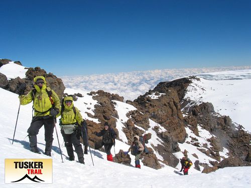 Photo credit: Eddie Frank
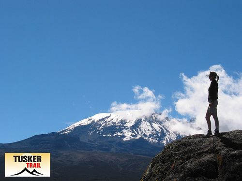 Photo credit: Eddie Frank
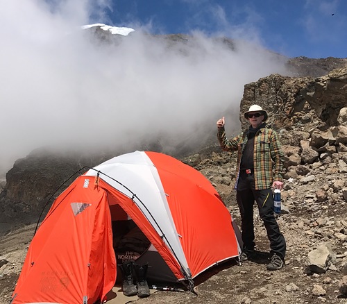 Photo credit: Mr Joakim Stafsén (Sweden)
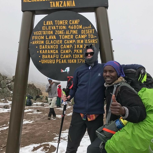 Photo credit: Mr Joakim Stafsén (Sweden)
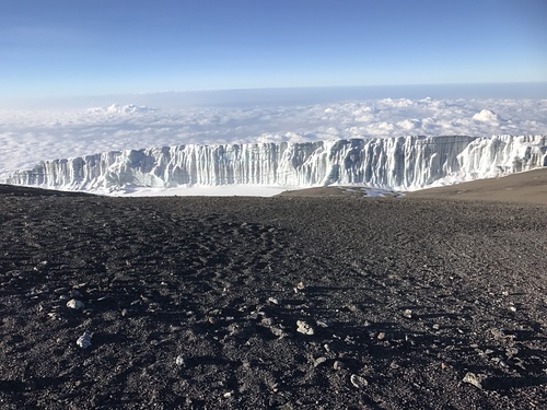 Photo credit: Mr Joakim Stafsén (Sweden)
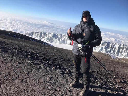 Photo credit: Mr Joakim Stafsén (Sweden)
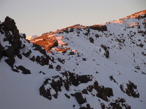 Photo credit: Ali Saeidi
Explore Mount Kilimanjaro Location Map
Interactive Mount Kilimanjaro trail map and piste map. View the piste and trails as well as the surrounding terrain and mountain contours for backcountry action. Find and compare nearby resorts by clicking on the resort markers.

When's the snowiest month to visit Mount Kilimanjaro?
What's the snow currently like in Mount Kilimanjaro?
A summary of the current snow conditions in Mount Kilimanjaro. View more information on the Mount Kilimanjaro detailed snow report page.
- Piste Condition—
- Off-piste Condition—

| Upper snow depth: | ||
|---|---|---|
| Lower snow depth: | ||
Visitor Reviews of Mount Kilimanjaro
Gavin Jones from United States writes:
I had an excellent experience climbing Kili this past year. I was part of a charity group raising funds for a school in Tanzania which provided this excellent opportunity as most of us had never visited Africa, let alone done any climbing at such high altitudes.
I must also thank Casper, our guide, and the entire team at E-Trip Africa for nothing but the best. Twice daily medical checks, great food, and excellent communication throughout the entire process made all the difference.
Resorts close to Mount Kilimanjaro
Discover ski resorts near Mount Kilimanjaro. Click below to view there ski resort guides.
 Afriski Mountain Resort
 Tiffindell
 Pooladkaf Ski Resort
 Nearest