


Global Weekly Snow Roundup #314
Weekly Global Snow News, updated 14 May 2026: Fresh snowfall in Argentina, Australia and Lesotho signals winter’s approach, while Japan maintains the world’s deepest snowpack.

Next 3 days weather summary:Mostly dry. Freeze-thaw conditions (max 3°C on Mon afternoon, min -3°C on Sat night). Winds decreasing (fresh winds from the SSE on Sat morning, calm by Sun afternoon). | Days 4-6 weather summary:A dusting of new snow. Freeze-thaw conditions (max 5°C on Thu afternoon, min -2°C on Tue night). Winds increasing (calm on Tue morning, fresh winds from the SE by Thu night). | |||||||||||||||||
Saturday 16 | Sunday 17 | Monday 18 | Tuesday 19 | Wednesday 20 | Thursday 21 | |||||||||||||
AM | PM | night | AM | PM | night | AM | PM | night | AM | PM | night | AM | PM | night | AM | PM | night | |
light snow | light snow | some clouds | clear | some clouds | some clouds | clear | some clouds | some clouds | cloudy | light snow | snow shwrs | clear | clear | clear | clear | clear | some clouds | |
km/h | ||||||||||||||||||
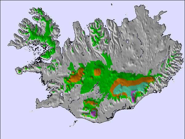
Snow map |  |  | 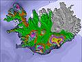 | 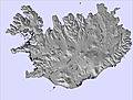 |  | 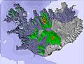 | ||||||||||||
— | — | — | — | — | — | — | — | — | — | 1 | — | — | — | — | — | — | — | |
— | — | — | — | — | — | — | — | — | — | — | — | — | — | — | — | — | — | |
max °C | -2 | -1 | -2 | -1 | 2 | 1 | 1 | 3 | 2 | 0 | 1 | 0 | 0 | 2 | 2 | 3 | 5 | 3 |
min °C | -2 | -2 | -3 | -2 | 1 | -1 | -1 | 2 | 0 | 0 | 0 | -2 | -1 | 1 | 1 | 3 | 4 | 2 |
-10 | -9 | -6 | -5 | 1 | -3 | -5 | -1 | -2 | 0 | -4 | -7 | -5 | -3 | -1 | 0 | 0 | -4 | |
87 | 92 | 88 | 83 | 66 | 85 | 83 | 63 | 85 | 90 | 91 | 77 | 62 | 62 | 62 | 48 | 60 | 46 | |
850 | 900 | 750 | 850 | 1250 | 1150 | 1100 | 1450 | 1250 | 1100 | 1250 | 1000 | 1000 | 1300 | 1300 | 1550 | 1900 | 1900 | |
3:50 | — | — | 3:47 | — | — | 3:44 | — | — | 3:40 | — | — | 3:36 | — | — | 3:32 | — | — | |
— | — | 10:38 | — | — | 10:43 | — | — | 10:45 | — | — | 10:50 | — | — | 10:52 | — | — | 10:57 | |
Latest snow reports near Kerlingarfjöll:
| Top snow depth: | — |
|---|---|
| Bottom snow depth: | — |
| Fresh snowfall depth: | — |
| Last snowfall: | 10 May 2026 |
| Snow Alerts | Create Alert |
0.1 | Bluebird Powder days Fresh snow, mostly sunny, light wind. |
|---|---|
1.0 | Powder days Fresh snow, limited sun, any wind. |
1.7 | Bluebird days Average snow, mostly sunny, light wind. |
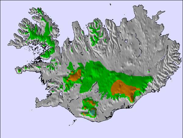
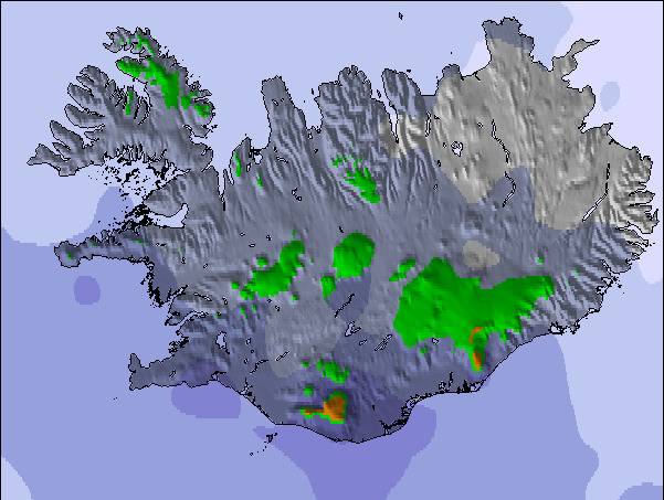
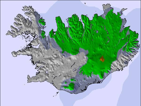
The above table gives the weather forecast for Kerlingarfjöll at the specific elevation of 1150 m. Our sophisticated weather models allow us to provide snow forecasts for the top, middle and bottom ski stations of Kerlingarfjöll. To access the weather forecasts for the other elevations, use the tab navigation above the table. For a wider view of the weather, check out the Weather Map of Iceland.
Click here to read further information on freezing levels and how we forecast our temperatures.
Resort name is also written as Kerlingarfjoll.
The lifts have rusted, the snow is virgin, spring skiing via telemark - mountain equipment par excellence. The roads are difficult until mid June; conditions good until mid July. Terrain: difficult to reach, difficult to ski. The huts are heaven in a desert and the hostesses: inspiring?
Terrrence Trow from United States writes:
The lifts have rusted, the snow is virgin, spring skiing via telemark - mountain equipment par excellence. The roads are difficult until mid June; conditions good until mid July. Terrain: difficult to reach, difficult to ski. The huts are heaven in a desert and the hostesses: inspiring?

 Nearest