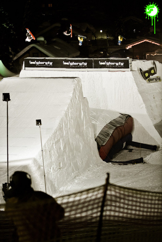


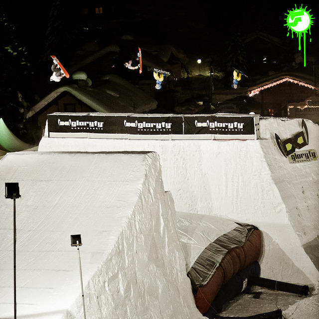
Portillo Storm Snowfall Total Passes 5m / 17 Feet
A snow storm that has now continued for nine days has taken Chilean ski resort Portillo to a snowfall total of 5.2 metres (17 feet) so far, with more snow forecast.

Next 3 days weather summary:Heavy rain (total 23.0mm), heaviest during Fri night. Very mild (max 17°C on Thu afternoon, min 10°C on Fri night). Wind will be generally light. | Days 4-6 weather summary:Moderate rain (total 12.0mm), heaviest on Tue afternoon. Very mild (max 16°C on Sun afternoon, min 10°C on Tue night). Wind will be generally light. | |||||||||||||||||
Thursday 30 | Friday 31 | Saturday 1 | Sunday 2 | Monday 3 | Tuesday 4 | |||||||||||||
AM | PM | night | AM | PM | night | AM | PM | night | AM | PM | night | AM | PM | night | AM | PM | night | |
clear | clear | clear | some clouds | some clouds | heavy rain | rain shwrs | t-storm risk | mod. rain | clear | some clouds | rain shwrs | some clouds | some clouds | some clouds | clear | mod. rain | rain shwrs | |
km/h | ||||||||||||||||||
Snow map |  |  |  |  |  |  | ||||||||||||
— | — | — | — | — | — | — | — | — | — | — | — | — | — | — | — | — | — | |
mm | — | — | — | — | — | 11 | 2 | 4 | 6 | — | — | 2 | — | — | — | — | 6 | 4 |
max °C | 14 | 17 | 15 | 17 | 17 | 12 | 12 | 14 | 11 | 14 | 16 | 14 | 15 | 16 | 14 | 13 | 12 | 11 |
min °C | 13 | 16 | 13 | 14 | 15 | 10 | 11 | 11 | 10 | 12 | 16 | 12 | 13 | 16 | 11 | 12 | 11 | 10 |
chill °C | 13 | 16 | 12 | 14 | 15 | 9 | 11 | 11 | 10 | 12 | 16 | 11 | 13 | 16 | 11 | 12 | 10 | 10 |
Humid % | 52 | 41 | 54 | 39 | 57 | 69 | 63 | 84 | 79 | 60 | 54 | 64 | 42 | 46 | 59 | 64 | 77 | 68 |
Freeze m | 4350 | 4650 | 4500 | 4650 | 4650 | 4500 | 4350 | 4400 | 4300 | 4450 | 4650 | 4550 | 4550 | 4650 | 4400 | 4300 | 4250 | 4350 |
5:47 | — | — | 5:48 | — | — | 5:48 | — | — | 5:50 | — | — | 5:52 | — | — | 5:52 | — | — | |
— | — | 8:47 | — | — | 8:46 | — | — | 8:45 | — | — | 8:44 | — | — | 8:43 | — | — | 8:40 | |
Go pro and carve into:
Avalanche information: European Avalanche Warning Services (EAWS)
Latest snow reports near Gerlos:
| Top snow depth: | — |
|---|---|
| Bottom snow depth: | — |
| Fresh snowfall depth: | — |
| Last snowfall: | 10 Jun 2026 |
| Snow Alerts | Create Alert |
0.1 | Bluebird Powder days Fresh snow, mostly sunny, light wind. |
|---|---|
0.2 | Powder days Fresh snow, limited sun, any wind. |
0.0 | Bluebird days Average snow, mostly sunny, light wind. |
The above table gives the weather forecast for Gerlos at the specific elevation of 2499 m. Our sophisticated weather models allow us to provide snow forecasts for the top, middle and bottom ski stations of Gerlos. To access the weather forecasts for the other elevations, use the tab navigation above the table. For a wider view of the weather, check out the Weather Map of Austria.
Click here to read further information on freezing levels and how we forecast our temperatures.
Overall 4.0 Based on 1 vote and 4 reviews
I like Gerlos resort and its slopes because they have a very "laid back", relaxed atmosphere to them. Many of the slopes are sunny throughout the day, the views are great, so you can cruise on the slopes, then sit back, sunbathe and enjoy the view, then ride some more. Gerlos is a very nice place to take a relaxing "break" after riding some more demanding Zillertal slopes, like Hintertux.
Iancu from Romania writes:
I like Gerlos resort and its slopes because they have a very "laid back", relaxed atmosphere to them. Many of the slopes are sunny throughout the day, the views are great, so you can cruise on the slopes, then sit back, sunbathe and enjoy the view, then ride some more. Gerlos is a very nice place to take a relaxing "break" after riding some more demanding Zillertal slopes, like Hintertux.


 Nearest