

Global Weekly Snow Roundup #314
Weekly Global Snow News, updated 14 May 2026: Fresh snowfall in Argentina, Australia and Lesotho signals winter’s approach, while Japan maintains the world’s deepest snowpack.

Next 3 days weather summary:A dusting of snow giving way to moderate rain (total 12.0mm) heaviest on Mon afternoon. Freeze-thaw conditions (max 5°C on Sun afternoon, min -4°C on Sat night). Wind will be generally light. | Days 4-6 weather summary:Moderate rain (total 15.0mm), heaviest on Tue afternoon. Very mild (max 13°C on Thu afternoon, min 2°C on Tue morning). Wind will be generally light. | |||||||||||||||||
Saturday 16 | Sunday 17 | Monday 18 | Tuesday 19 | Wednesday 20 | Thursday 21 | |||||||||||||
AM | PM | night | AM | PM | night | AM | PM | night | AM | PM | night | AM | PM | night | AM | PM | night | |
light snow | light snow | clear | clear | light rain | light snow | snow shwrs | light rain | light snow | rain shwrs | light rain | rain shwrs | some clouds | light rain | rain shwrs | clear | some clouds | rain shwrs | |
km/h | ||||||||||||||||||
Snow map |  |  |  |  |  |  | ||||||||||||
2 | — | — | — | — | — | — | — | — | — | — | — | — | — | — | — | — | — | |
— | — | — | — | 1 | 1 | 1 | 5 | 4 | 1 | 3 | 3 | — | 4 | 3 | — | — | 1 | |
max °C | -1 | 1 | -1 | 2 | 5 | 3 | 4 | 5 | 3 | 5 | 7 | 6 | 7 | 10 | 8 | 9 | 13 | 10 |
min °C | -2 | 1 | -4 | -1 | 4 | 1 | 2 | 4 | 1 | 2 | 7 | 3 | 5 | 9 | 4 | 6 | 12 | 6 |
-6 | -3 | -6 | -1 | 4 | 1 | 2 | 3 | 1 | 2 | 7 | 3 | 4 | 9 | 4 | 5 | 12 | 6 | |
81 | 68 | 75 | 61 | 70 | 92 | 77 | 83 | 92 | 70 | 66 | 91 | 70 | 60 | 79 | 57 | 39 | 69 | |
1900 | 2150 | 1050 | 2250 | 2550 | 2200 | 2450 | 2600 | 2300 | 2550 | 2900 | 2650 | 2800 | 3100 | 2900 | 3000 | 3500 | 3350 | |
5:37 | — | — | 5:37 | — | — | 5:35 | — | — | 5:33 | — | — | 5:33 | — | — | 5:31 | — | — | |
— | — | 8:39 | — | — | 8:40 | — | — | 8:42 | — | — | 8:43 | — | — | 8:44 | — | — | 8:45 | |
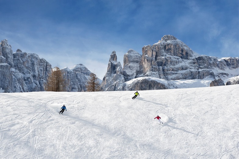
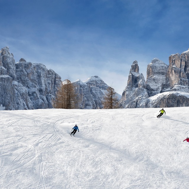
Latest snow reports near Corvara (Alta Badia):
Moderate snow reported from Rolle Pass Airport at 2083 metres elevation only 2 kms S of Passo Rolle Ski Resort from Passo Rolle
Blowing heavy snow reported from Rolle Pass Airport at 2083 metres elevation only 2 kms S of Passo Rolle Ski Resort from Passo Rolle
Moderate snow reported from Rolle Pass at 2083 metres elevation only 2 kms S of Passo Rolle Ski Resort from Passo Rolle
| Top snow depth: | — |
|---|---|
| Bottom snow depth: | — |
| Fresh snowfall depth: | 27 cm |
| Last snowfall: | 15 May 2026 |
| Snow Alerts | Create Alert |
0.0 | Bluebird Powder days Fresh snow, mostly sunny, light wind. |
|---|---|
0.3 | Powder days Fresh snow, limited sun, any wind. |
0.0 | Bluebird days Average snow, mostly sunny, light wind. |
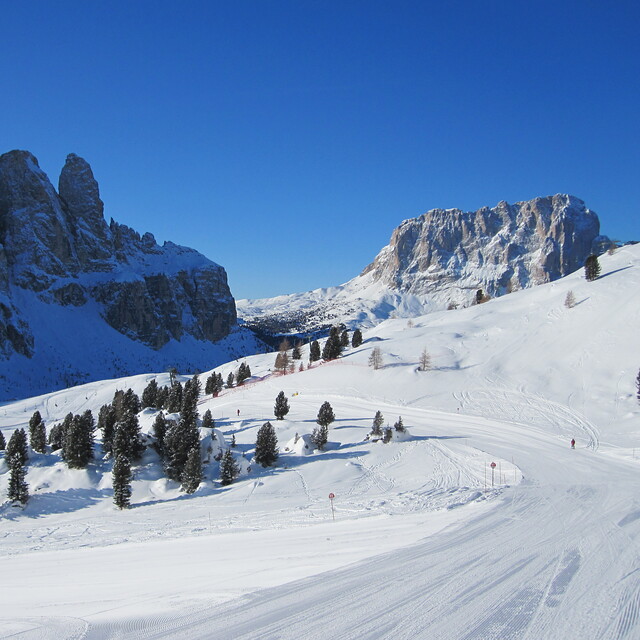
The above table gives the weather forecast for Corvara (Alta Badia) at the specific elevation of 2010 m. Our sophisticated weather models allow us to provide snow forecasts for the top, middle and bottom ski stations of Corvara (Alta Badia). To access the weather forecasts for the other elevations, use the tab navigation above the table. For a wider view of the weather, check out the Weather Map of Italy.
Click here to read further information on freezing levels and how we forecast our temperatures.
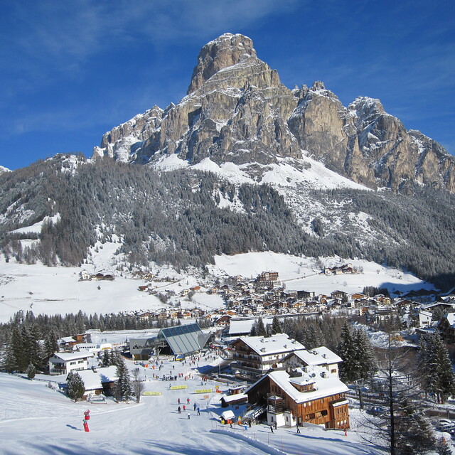
Resort name is also written as Corvara.
Overall 4.3 Based on 15 votes and 11 reviews
Skied this area and the surrounding resorts of the Sella Ronda several times between 2014-2016 and overdue another visit. I've skied all over the Alps in the past 35 years and have to say the Dolomites are jaw-dropingly beautiful. The skiing is pretty good too, with plenty of challenge all around the Sella Ronda and lots of cruising runs for intermediates. The lift system is modern and impressive, though not quite as cutting edge as the big name resorts in nearby Tirol. But generally far better than the French equivalents. The area has a well earned reputation for gourmet cuisine both on and off the mountain, with hostelries dotted all over the area which pretty much guarantee great pitstop each lunchtime. Corvara, itself, is delightful and generally low key on the apres-ski front but there is a cracking bar at the bottom of the piste opposite the Boe Gondelbahn. Murin is more full on and rather like the big name bars in St Anton and Ischgl. If you want to party hard everyday, then neighbouring Selva is probably a better bet but the pistes are busier. Cost wise, the value for money is excellent. Slightly cheaper than Austria. But massively cheaper than both France and Switzerland. Moreover, there is no compromise on the quality of hotels and subsistence.
Rob Dunston from United Kingdom writes:
Skied this area and the surrounding resorts of the Sella Ronda several times between 2014-2016 and overdue another visit.
I've skied all over the Alps in the past 35 years and have to say the Dolomites are jaw-dropingly beautiful. The skiing is pretty good too, with plenty of challenge all around the Sella Ronda and lots of cruising runs for intermediates.
The lift system is modern and impressive, though not quite as cutting edge as the big name resorts in nearby Tirol. But generally far better than the French equivalents.
The area has a well earned reputation for gourmet cuisine both on and off the mountain, with hostelries dotted all over the area which pretty much guarantee great pitstop each lunchtime.
Corvara, itself, is delightful and generally low key on the apres-ski front but there is a cracking bar at the bottom of the piste opposite the Boe Gondelbahn. Murin is more full on and rather like the big name bars in St Anton and Ischgl. If you want to party hard everyday, then neighbouring Selva is probably a better bet but the pistes are busier.
Cost wise, the value for money is excellent. Slightly cheaper than Austria. But massively cheaper than both France and Switzerland. Moreover, there is no compromise on the quality of hotels and subsistence.
Read 10 more reviews of Corvara (Alta Badia) or submit your own


 Nearest