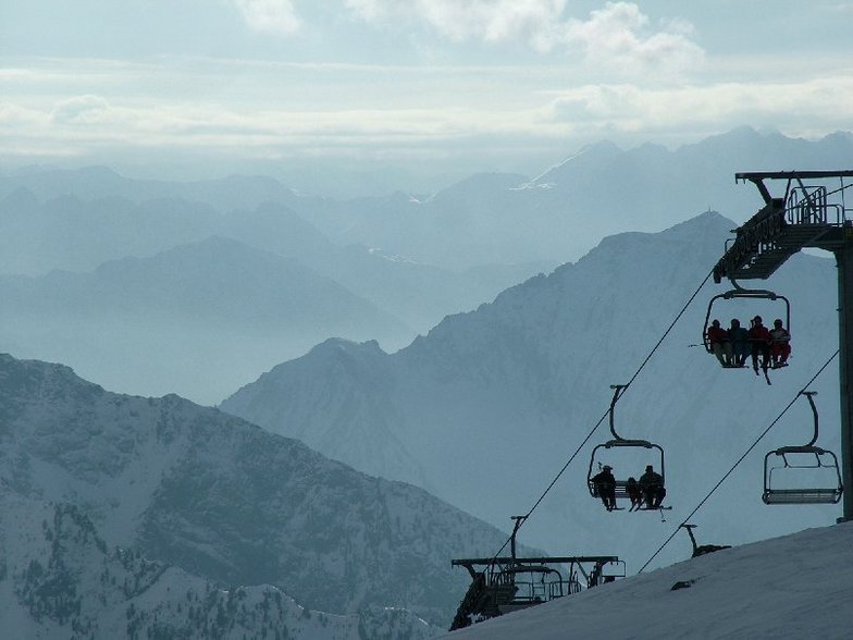


Global Weekly Snow Roundup #314
Weekly Global Snow News, updated 14 May 2026: Fresh snowfall in Argentina, Australia and Lesotho signals winter’s approach, while Japan maintains the world’s deepest snowpack.

Next 3 days weather summary:A dusting of snow turning to light rain (total 7.0mm) on Mon afternoon. Freeze-thaw conditions (max 3°C on Sun afternoon, min -4°C on Sat morning). Wind will be generally light. | Days 4-6 weather summary:Light rain (total 7.0mm), mostly falling on Tue afternoon. Very mild (max 12°C on Thu afternoon, min 2°C on Tue morning). Wind will be generally light. | |||||||||||||||||
Saturday 16 | Sunday 17 | Monday 18 | Tuesday 19 | Wednesday 20 | Thursday 21 | |||||||||||||
AM | PM | night | AM | PM | night | AM | PM | night | AM | PM | night | AM | PM | night | AM | PM | night | |
clear | snow shwrs | snow shwrs | some clouds | rain shwrs | light snow | snow shwrs | light rain | rain shwrs | some clouds | light rain | rain shwrs | some clouds | rain shwrs | rain shwrs | some clouds | some clouds | clear | |
km/h | ||||||||||||||||||
Snow map |  |  |  |  |  |  | ||||||||||||
— | — | — | — | — | 2 | — | — | — | — | — | — | — | — | — | — | — | — | |
— | — | — | — | 1 | — | — | 4 | 2 | — | 2 | 2 | — | 2 | 1 | — | — | — | |
max °C | -2 | 1 | 0 | 1 | 3 | 2 | 2 | 3 | 3 | 4 | 5 | 5 | 6 | 8 | 7 | 10 | 12 | 10 |
min °C | -4 | 0 | -3 | -1 | 3 | 0 | 0 | 3 | 1 | 2 | 5 | 3 | 3 | 8 | 5 | 7 | 11 | 8 |
-9 | -3 | -6 | -1 | 2 | 0 | 0 | 1 | -1 | 2 | 5 | 1 | 1 | 7 | 3 | 6 | 11 | 8 | |
51 | 53 | 66 | 62 | 79 | 88 | 83 | 84 | 88 | 77 | 91 | 90 | 69 | 59 | 53 | 38 | 56 | 47 | |
1900 | 2300 | 1550 | 2300 | 2500 | 2250 | 2400 | 2600 | 2300 | 2600 | 2800 | 2650 | 2800 | 3100 | 3250 | 3550 | 3750 | 3800 | |
5:56 | — | — | 5:56 | — | — | 5:54 | — | — | 5:52 | — | — | 5:52 | — | — | 5:50 | — | — | |
— | — | 8:53 | — | — | 8:54 | — | — | 8:55 | — | — | 8:57 | — | — | 8:59 | — | — | 9:00 | |
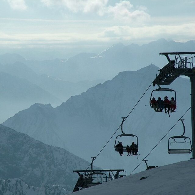
Latest snow reports near Champoluc:
| Top snow depth: | — |
|---|---|
| Bottom snow depth: | — |
| Fresh snowfall depth: | 4 cm |
| Last snowfall: | 15 May 2026 |
| Snow Alerts | Create Alert |
0.0 | Bluebird Powder days Fresh snow, mostly sunny, light wind. |
|---|---|
0.3 | Powder days Fresh snow, limited sun, any wind. |
0.1 | Bluebird days Average snow, mostly sunny, light wind. |

The above table gives the weather forecast for Champoluc at the specific elevation of 2146 m. Our sophisticated weather models allow us to provide snow forecasts for the top, middle and bottom ski stations of Champoluc. To access the weather forecasts for the other elevations, use the tab navigation above the table. For a wider view of the weather, check out the Weather Map of Italy.
Click here to read further information on freezing levels and how we forecast our temperatures.
Overall 4.2 Based on 24 votes and 23 reviews
Went in Feb 2025 Still deserted most days, no queues anywhere, except on a Saturday if its sunny, then it gets very busy. Don't let the piste map put you off. They have regraded several pistes. Black C1 down to the village used to be a red. It is still an easy red, definitely not a black. Black C6 likewise, apart from the very top, which can be tricky in poor conditions, is also really a red.
bradley from United Kingdom writes:
Went in Feb 2025
Still deserted most days, no queues anywhere, except on a Saturday if its sunny, then it gets very busy.
Don't let the piste map put you off. They have regraded several pistes. Black C1 down to the village used to be a red. It is still an easy red, definitely not a black. Black C6 likewise, apart from the very top, which can be tricky in poor conditions, is also really a red.


 Nearest