

Global Weekly Snow Roundup #314
Weekly Global Snow News, updated 14 May 2026: Fresh snowfall in Argentina, Australia and Lesotho signals winter’s approach, while Japan maintains the world’s deepest snowpack.

Next 3 days weather summary:Heavy rain (total 23.0mm), heaviest during Sun night. Freeze-thaw conditions (max 8°C on Sun afternoon, min -4°C on Sat night). Wind will be generally light. | Days 4-6 weather summary:Light rain (total 8.0mm), mostly falling on Tue afternoon. Very mild (max 17°C on Thu afternoon, min 5°C on Wed night). Wind will be generally light. | |||||||||||||||||
Saturday 16 | Sunday 17 | Monday 18 | Tuesday 19 | Wednesday 20 | Thursday 21 | |||||||||||||
AM | PM | night | AM | PM | night | AM | PM | night | AM | PM | night | AM | PM | night | AM | PM | night | |
snow shwrs | light rain | rain shwrs | some clouds | light rain | mod. rain | light rain | light rain | light rain | cloudy | light rain | light rain | cloudy | rain shwrs | some clouds | some clouds | clear | clear | |
km/h | ||||||||||||||||||
Snow map |  |  |  |  |  |  | ||||||||||||
— | — | — | — | — | — | — | — | — | — | — | — | — | — | — | — | — | — | |
— | 2 | 1 | — | 1 | 9 | 1 | 5 | 4 | — | 3 | 3 | — | 2 | — | — | — | — | |
max °C | 2 | 5 | 3 | 6 | 8 | 6 | 7 | 8 | 7 | 9 | 9 | 8 | 9 | 12 | 9 | 14 | 17 | 13 |
min °C | -1 | 4 | -4 | 3 | 8 | 2 | 4 | 7 | 4 | 6 | 9 | 6 | 7 | 11 | 5 | 9 | 17 | 7 |
-5 | 2 | -4 | 3 | 8 | 2 | 4 | 6 | 4 | 6 | 9 | 4 | 6 | 10 | 3 | 8 | 17 | 7 | |
64 | 66 | 83 | 57 | 72 | 92 | 79 | 88 | 93 | 77 | 92 | 93 | 74 | 66 | 65 | 42 | 48 | 56 | |
1700 | 2150 | 1350 | 2300 | 2600 | 2250 | 2400 | 2600 | 2300 | 2650 | 2800 | 2600 | 2700 | 3000 | 3350 | 3550 | 3750 | 3850 | |
5:56 | — | — | 5:56 | — | — | 5:54 | — | — | 5:52 | — | — | 5:52 | — | — | 5:50 | — | — | |
— | — | 8:54 | — | — | 8:55 | — | — | 8:57 | — | — | 8:58 | — | — | 8:59 | — | — | 9:00 | |
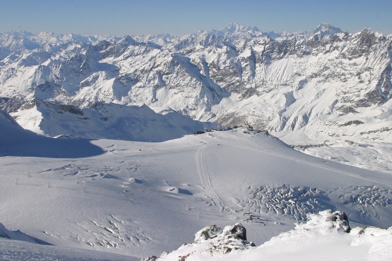
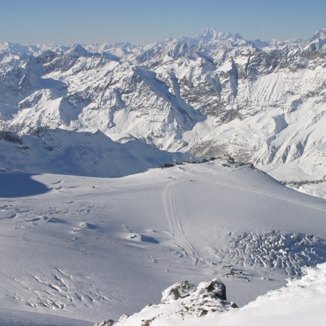
Latest snow reports near Breuil-Cervinia Valtournenche:
| Top snow depth: | 100 cm |
|---|---|
| Bottom snow depth: | — |
| Fresh snowfall depth: | 10 cm |
| Last snowfall: | 15 May 2026 |
| Snow Alerts | Create Alert |
0.0 | Bluebird Powder days Fresh snow, mostly sunny, light wind. |
|---|---|
0.0 | Powder days Fresh snow, limited sun, any wind. |
0.0 | Bluebird days Average snow, mostly sunny, light wind. |
The above table gives the weather forecast for Breuil-Cervinia Valtournenche at the specific elevation of 1524 m. Our sophisticated weather models allow us to provide snow forecasts for the top, middle and bottom ski stations of Breuil-Cervinia Valtournenche. To access the weather forecasts for the other elevations, use the tab navigation above the table. For a wider view of the weather, check out the Weather Map of Italy.
Click here to read further information on freezing levels and how we forecast our temperatures.
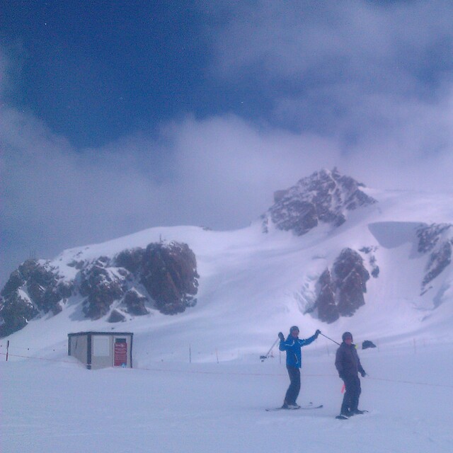
Resort name is also written as Cervinia.
Overall 4.0 Based on 39 votes and 37 reviews
Just found this great site so thought I would add my review too. Cervinia is a two tone resort-high altitude so good snow, lovely easy runs and super views. But it is really not a pretty town, the lift system is somewhat outdated and it is nearly as expensive as Zermatt where I was 4 years ago. Zermatt is in a different class. It's pristine, varied and frankly not much more expensive.
Joel Nick from United Kingdom writes:
Just found this great site so thought I would add my review too.
Cervinia is a two tone resort-high altitude so good snow, lovely easy runs and super views. But it is really not a pretty town, the lift system is somewhat outdated and it is nearly as expensive as Zermatt where I was 4 years ago. Zermatt is in a different class. It's pristine, varied and frankly not much more expensive.
Read 36 more reviews of Breuil-Cervinia Valtournenche or submit your own


 Nearest