WORLD SNOW ROUNDUP #74
Issued: 13th February 2019
By Patrick “Snowhunter” Thorne
Our latest roundup of snow conditions around the world. Each section that follows below goes into detail country by country. Clicking the map thumbnail will take you to our dynamic snow forecast map for the latest detail (where you can also overlay live weather & reported conditions). Weather outlooks for Europe and North America can be found at the end of this roundup.

INTRODUCTION:
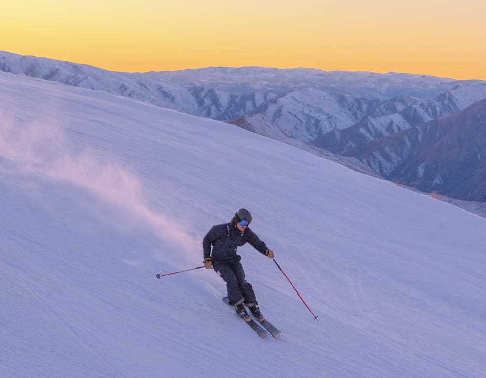
Much of last week was fairly benign in the Alps with some great sunny days on fresh snow in the middle of last week. But the snow started to arrive on Friday/Saturday in the area and most resorts got at least 20cm of snow, some as much as 70cm by Monday.
As a result, the avalanche danger in much of the Alps, after the latest snowfall and with temperatures climbing, is currently at level 3 – considerable, meaning extreme care is required off the groomed runs.
However, on the prepared runs conditions look great. Particularly through the middle of this week with the skies now cleared, the sun out, light winds and fresh snow in most areas.
Elsewhere in Europe, it has been (and continues to be) a quieter week in the Dolomites, the Pyrenees
by an unseasonal warm spell.
In North America, there have been huge snowfalls again in the Western US, particularly California. Although, right across the wider region it’s been drier in the east and very cold north of the border in Canada. The week ahead should see yet another wave of heavy snow in the west but this time lots
INDEX:
Austria / France / Switzerland / Italy / Andorra / Norway/Sweden / Germany / Bulgaria / Scotland / Japan / USA / Canada / Europe / North America
Austria
Heavy snowfall returned to Austria at the start of this week. 24-hour Monday-Tuesday totals were as much as 30cm (a foot) at the Dachstein Glacier (0-480cm) and on the slopes of Loser, by Altaussee (220-500cm). The snow had started falling over the weekend in many areas and the Dachstein’s storm total was 50cm, leading the ski area to close once again due to the blizzard conditions; it had been closed for a prolonged period in January during the three-week super-snow-storm that brought parts of the country to a near standstill. The Kauntertal glacier (200/560cm) continues to report the country’s deepest base but bases across the north and west of the country remain exceptional at most areas thanks to all the 2019 snowfall so far.
FRANCE

It was a snowy weekend in the French Alps with the snow starting to fall on Friday for many areas in the Northern Alps and reaching maximum intensity by Sunday. The biggest accumulations amounted to 50-60cm in 72 hours with some resorts like Flaine (80/310cm) (which is now posting the deepest base in the northern French Alps) reporting 30cm (a foot) in 24 hours through to Monday. The sunshine
SWITZERLAND

Swiss ski areas saw some of the biggest snowfalls of the past few days with several areas across the country reporting 60cm (two foot) 72-hour totals. In eastern Switzerland Elm (72/240cm) reported 65cm of snowfall since Sunday whilst in the Valais, on the west side, Les Marecottess – Salvan (35/189cm) posted a 56cm accumulation. This snow falling on top of what are already the deepest bases in the world, means the avalanche danger has risen back up to level 3 – considerable here too. Andermatt (73/600cm) continues to post the deepest base in the country and the world. But with no change to that upper slope base depth (claimed for over a month now), despite several fresh snowfalls with the latest being 20cm in the past few days. By contrast, Engelberg’s (83/580cm) claimed depth has risen and fallen a few times and is now back up to close on Andermatt after another 20cm of fresh snowfall in the past few days here too.
ITALY

Italian resorts too have seen fresh snowfall over the past few days. Although, not the volumes of the previous week, nor so much as further north in Austria, France and Switzerland. But most resorts in the country are also currently reporting excellent conditions and the new snow has pushed the bases of more Italian areas up, including three now past the 4m upper slope base depth mark. These include Passo Tonale (80/400cm) and the Presena Glacier (250/400cm). The biggest snowfall of the past 72 hours was reported at Cervinia (70/210cm) which received 25cm since the weekend. A little fresh snow in the Dolomites has improved snow cover conditions; adding to the snow storms at the start of the month. Arabba (112/161cm) is posting the deepest base there but the numbers are much better across the region.
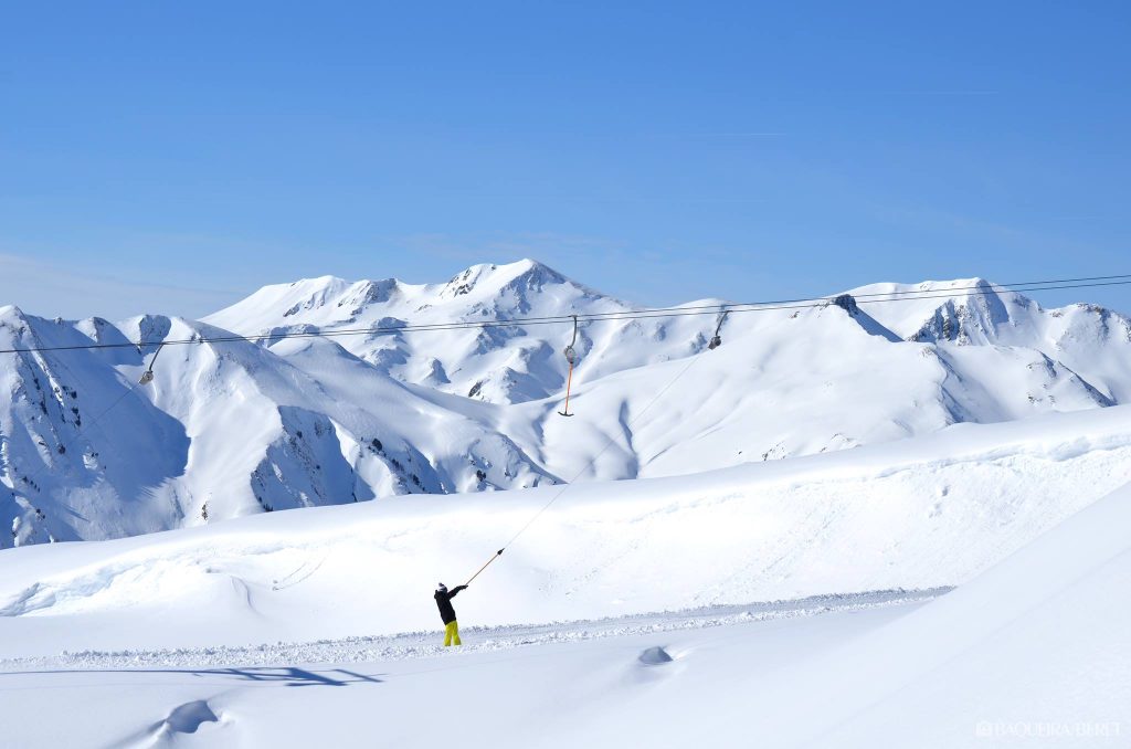
ANDORRA
Andorra has had a good week with mostly clear, sunny weather but temperatures remained low enough for the snow integrity to remain good. All of the principal ski areas are open and operating at capacity for the start of the February school holidays. They also have good bases, from top to bottom, thanks to the heavy snowfall of late January and early February.
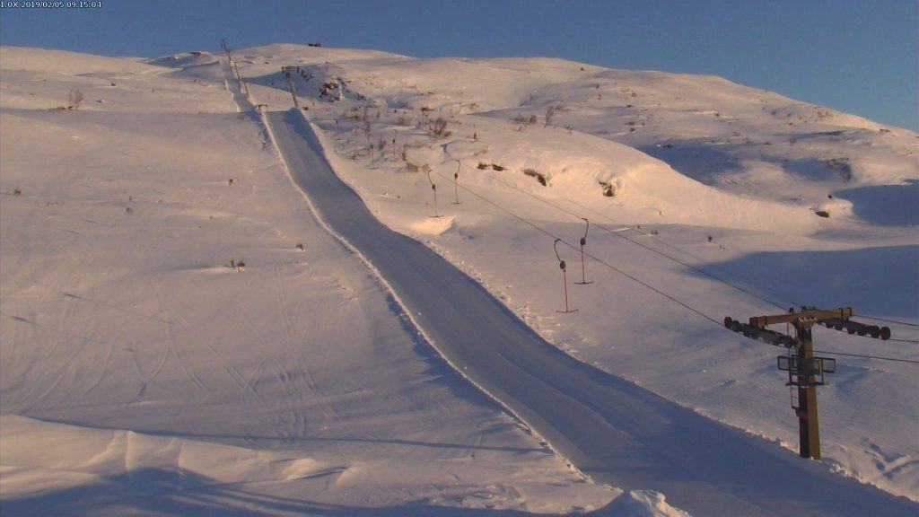
NORWAY/SWEDEN

The cold weather, with temperatures dropping below -20C at times, has been a factor at the FIS World Alpine Skiing Championships currently underway in Are (73/73cm), Sweden. Racers have also had to battle flat light, strong wind and snow showers at various times through the past week; the full range of mountain weather. Norway has seen some of the biggest snowfalls in recent days, however, with Bjorli (150/150cm) reporting a 35cm accumulation over the past few days and 25cm in the past 24 hours alone. Many other resorts in the country have posted 10-30cm since the weekend with the snow still falling.
GERMANY

German ski areas have actually posted some of the biggest snowfalls in Europe over the past few days, particularly the Zugspitze Glacier which posted 75cm of
BULGARIA
BULGARIA Not much fresh snow in Bulgaria for the past seven days. In fact, Pamporovo (265/295cm), which last week posted a base of over 3 metres, has reported a slight drop in snow depth. Cover remains very good across the country, however, with several metres of snow depth at all the main centre and almost all trails open. Only Bansko, which hosts World cup racing next week, is closing a couple of trails in preparation for the competition.
SCOTLAND

Conditions have continued to improve across Scottish ski areas for a third week with all five areas still open and increasing the terrain available. This time last week there were 30 runs open between the five areas, this week that has doubled to 60 with Nevis Range (10/30cm) posting the most with more than 20 open. Strong winds have impacted operations at times over the past few days. However, Nevis Range closed on Tuesday and others opted to delay their start and opened later in the day.
JAPAN
It has turned more wintery in Japan over the past week with snow in Tokyo and some very low temperatures on Hokkaido, the country’s northerly ‘powder island.’ After several weeks of merely moderate snowfall, Niseko (175/375cm) has seen more than a
USA

Another very snowy week in the Western US with the deepest base on the continent at Mammoth Mountain (236/533cm) breaking through the
CANADA

Mostly modest snowfalls over the past week in Canada; much like the previous week. With perhaps the most significant climatic element on the slopes being the cold, rather than the snow, with temps dropping to -25C in Alberta at the weekend at times. What snowfall there has been
EUROPEAN WEATHER OUTLOOK

After a cold and snowy period the latter half of this week is looking dry in most areas of Europe. Unfortunately, it is warm too, with the chances of temperatures rising to more than double celsius figures down in the valleys in some areas. This should be a short-lived increase and the forecast may change to some degree before then. But it’s currently looking warm into the weekend. Some resorts will also see temperatures above zero even at the top of their ski slopes. But here, where it happens, it should only be a degree or two above zero so not have a huge impact. In the Pyrenees, it’s looking like a good week ahead with mostly clear skies and temperatures around zero, but no snow in the forecast at present. In contrast to Western Europe, where temperatures are now rising, it looks like it will stay sub-zero in Bulgaria for the rest of the week with light snowfall too. For Scotland, temperatures are warming up also, with the probability of valley temperatures reaching +10C or higher in the daytime in the latter half of this week. And above zero temperatures above the mountain tops too. What damage this does, or hopefully does not do, to the rather thin cover remains to be seen.
NORTH AMERICAN WEATHER OUTLOOK

By contrast, the forecast for the USA is snow, snow, snow and lots of it. Another wave of huge snowfalls