WORLD SNOW ROUNDUP #267
Issued: 23rd November 2022
By Patrick “Snowhunter” Thorne
World Overview
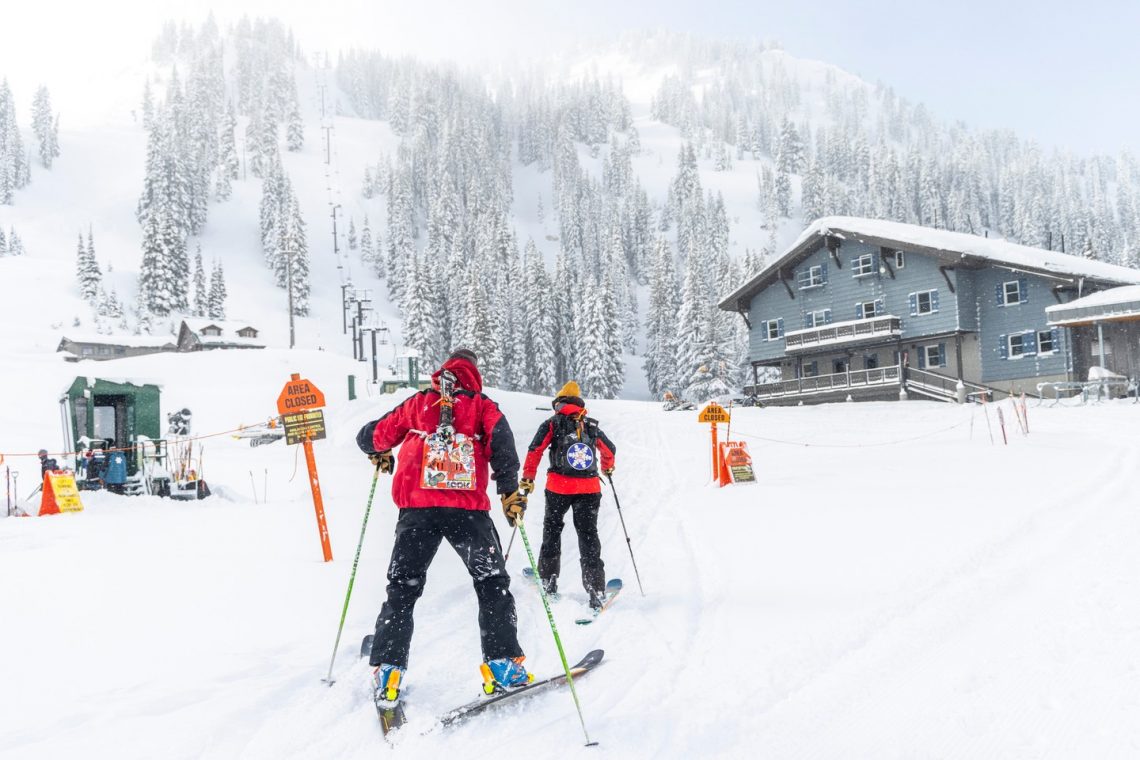
The ski season is really getting off to a great start across North America now with an estimated 100+ ski centres open at the weekend, thanks in large part to lots of early snowfall on the western side of the continent and finally low temperatures for snow-making in the east. But there’s also been snowfall there too now.
It’s a somewhat less promising picture so far in Europe, although there have been the best snowfalls of the autumn so far reported for ski slopes across the continent and down to lower elevations. Even Portugal’s sole ski centre, Serra da Estrela, reported a good covering. However, it’s arriving a bit late for those who planned early openings and Austria’s Obertauern, Italy’s Madonna di Campiglio and France’s Val Thorens all postponed their season starts at the weekend while they await better conditions. However, Tignes has opened one run after the fresh snowfall on Friday finally starting the French 22-23 ski season.
In more unusual snow news, although it’s just a few weeks off Australian summertime, the snow Gods don’t seem to have got the memo and there was the latest in a series of late spring snowfalls for Aussie ski slopes late last week.
Other parts of the world that do see snow but not so often in November, such as the Atlas mountains of North Africa, have seen a good covering of snow too in what is a lowering of temperatures across much of the Northern Hemisphere with meteorological wintertime only a week away.
Europe
EUROPE INTRO
Conditions have been improving over the past week with snow falling across the continent and down to lower elevations. It has also been much colder than for much of the autumn to date with temperatures down to well below freezing above 2000m. In the Alps, ski areas have reported up to 50cm (20″) of fresh cover at higher elevations. Elsewhere in Europe, snow has been reported in most corners of the continent including the Iberian peninsula, including the slopes of Portugal’s only ski area, Europe’s most southerly resort of Sierra Nevada and in the Pyrenees as well as in Eastern Europe, Scandinavia and the first heavier snowfall in the Cairngorms of Scotland.
AUSTRIA REPORT
Austria was the first European nation to report more than 10 ski areas open this season with Obergurgl (5/30cm / 2/12”) and Kitzbuhel (0/75cm / 0/30”) opening for 22-23 last weekend, although Obertauern held off. These are also the first areas to open that don’t rely on glaciers. Kitzbuhel has used snow-farming to open a run and the other two have limited terrain open so far. But it’s all been snow-covered anyway since the start of the week with snowfall reaching ever-lower levels. Obergurgl is not posting the deepest base but has managed to open 44km (27 miles) of runs, the most in Europe so far, not bad from a standing start. Neighbouring Sölden (0/119cm / 0/48”) has taken second place with 38.5km (24 miles) of slopes open and meaning you get over 80km (50 miles) of slopes on your lift pass. Hintertux (0/80cm / 0/32”) is down to third place after holding first for the past four or five months.
AUSTRIA FORECAST
The next few days are looking mostly drier and sunnier across the Austrian Alps but fortunately, it should still stay cold, double-digits below freezing up high and only getting to +5 in the daytime down in the valley. More snowfall is forecast to end the week.
SWITZERLAND REPORT
Switzerland matched Austria for the number of ski areas open at the weekend, also reaching 10, although many of those that did are closed midweek. Andermatt was among the latest to open and one of the few so far open Swiss centres not relying on a glacier to do so. Instead, it used snow-farming to create a slope on the Gemstock using last winter’s snow that had been stockpiled through the summer. Like the rest of Europe there’s been widespread snowfall over the weekend and to start this week though, greatly improving conditions. Verbier (0/40cm / 0/16”) was one of the big winners reporting 30cm (a foot) of fresh snow as it re-opened for skiing last weekend. Engelberg-Titlis (0/30cm / 0/12”) switched to daily opening at the weekend from its previous weekend opening.
SWITZERLAND FORECAST
A pause, or at least an easing, in the snowfall is forecast over the next few days midweek before it returns heavier at the end of the week. Light showers are still possible over the next few days though, along with sunny spells. Temperatures are very cold above 2,000m (-10C and below) and not getting much above freezing down in valleys either.
FRANCE REPORT
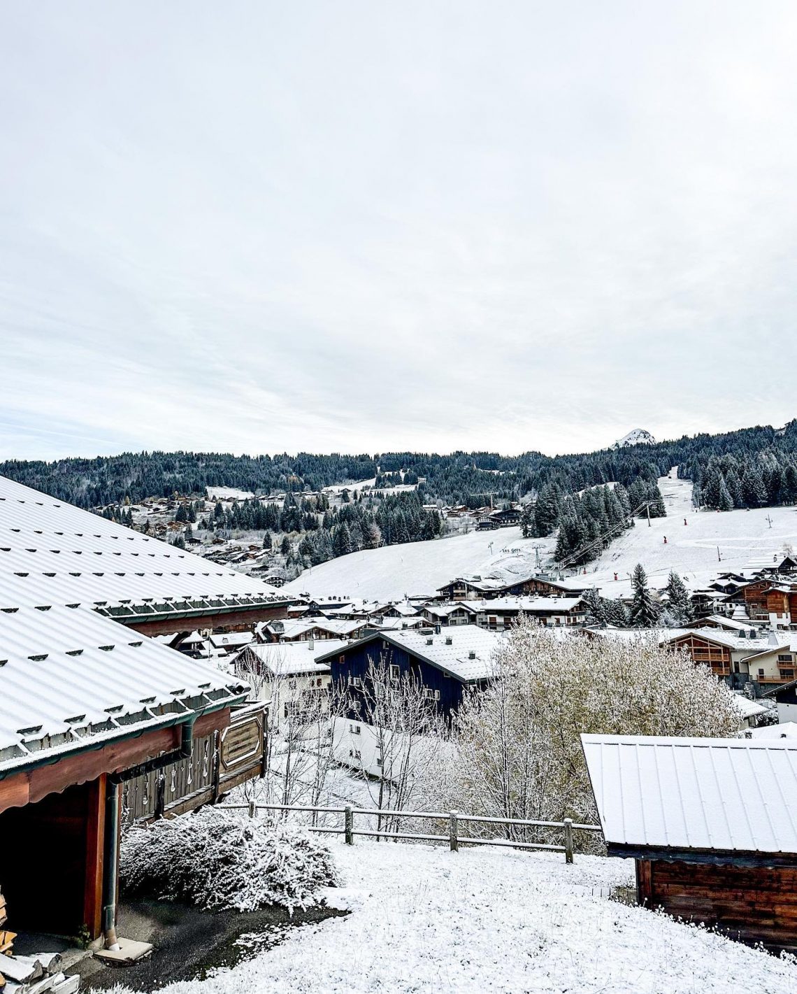
After six weeks of cancelled planned opening dates delaying the start of the French 22-23 season, with Val Thorens due to having opened last weekend, now next (the latest to postpone), it was a pleasant shock when Tignes announced on Friday last week that after delaying six-weeks, it was actually “opening early.” Well, kind of… After cancelling its October opening it had said its big opening would be this coming weekend, on the 26th, so opening last Friday 18th was now “early” again. Ironically, it didn’t open on the 18th in the end because there was a blizzard blowing and the glacier was stormbound, picking up about 30cm (12”) of snow. So it was a good day with the sun out again on Saturday and the slope was open and has largely remained snowy. The snowfall across French ski areas increased in intensity at the start of this week, reaching the valley floor at even quite lower elevations and being felt across the country’s mountain ranges, including down in the Pyrenees.
FRANCE FORECAST
The snowfall is expected to continue at least until midweek before easing in most areas on Thursday/Friday, although light snowfalls will continue and temperatures stay very low, below -10C, over 2,000m. Snowier going into the weekend.
ITALY REPORT
No change in the ski areas open in Italy on a week ago but things should start moving this coming weekend with around a dozen ski areas including Cortina d’Ampezzo, Courmayeur and Madonna di Campiglio due to open. Madonna had actually hoped to open last weekend but decided to postpone. It, along with most other Italian ski areas, has seen plenty of snowfall in the past week though so things are looking much more promising. As it is, Sulden am Ortler (15/60cm / 6/24”), has the deepest snow and most terrain open (18km / 11 miles) in the country. Cervinia (0/110cm / 0/44”) has snow down below resort level now and says it will open terrain on the Italian side of the border thanks to the recent snowfall, from next weekend. Up to now its been giving access to slopes on the Swiss side of the border.
ITALY FORECAST
It’s not looking especially snowy but it should remain cold and overcast with snow showers through the coming week for most Italian ski areas.
GERMANY REPORT
Germany’s ski season is due to kick off the weekend after next with the Zugspitze Glacier set to open on the first weekend of next month. The country has reported snowfall in the alpine regions to the south, heaviest at Zugspitze itself.
GERMANY FORECAST
It is going to stay cold and snowy on high slopes this week with more light to moderate snow forecast daily. Low elevation resorts may see rain.
SCANDINAVIA REPORT
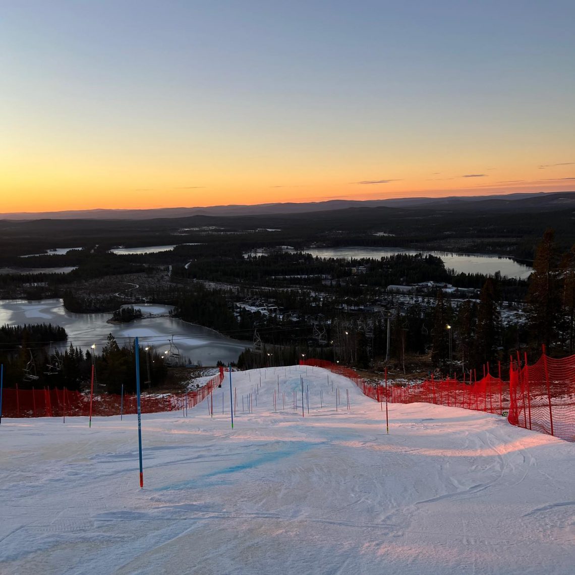
It’s been cold across Scandinavia in recent days, rarely getting above freezing and more commonly dropping to double figures below in the north. The big event of the weekend was at Levi (20/50cm / 8/20″), in Finnish Lapland, where the FIS women’s 22-23 alpine skiing tour finally got underway at the fourth attempt with back-to-back slalom races. Along with Ruka (10/40cm / 4/16”), which opened back in early October, another top Finnish centre, Ylläs (5/30 cm / 2/12”) opened at the weekend. In Sweden, Tärnaby (20/40cm / 8/16”) joined already open Kåbdalis. Norway’s only open centre, the Galdhopiggen summer ski area, finally ended its long 2022 season on Sunday though. However, it remains subzero across the region and many of Norway and Sweden’s top resorts including Are, Hemsedal and Trysil are snow-making ahead of planned openings this coming weekend.
SCANDINAVIA FORECAST
Staying very cold for the last week of autumn with many ski areas seeing temperatures in the -10 to -20C range. Snow showers are widely forecast although some resorts will see a few hours of sunshine between dawn and dusk, which are getting ever closer together. For others, it’s a week of non-stop clouds or snowfall.
SCOTLAND REPORT
A much improved week in Scotland with snowfall down to low elevations at the weekend as temperatures plummeted more than 15 degrees from the record November highs in the country a week before. Currently, most centres plan to open in December but some will open sooner if there is a major snowfall to make that feasible.
SCOTLAND FORECAST
After the excitement of the snowfall, it is getting a little warmer again in the Scottish Highlands. But there’s hope that forecast precipitation will fall as snow, at least on higher slopes, later this week.
SPAIN / ANDORRA REPORT
A good week at the Iberian peninsula and the Pyrenees with slopes turning white across the region. The first snowfall of the autumn was reported on the ski slopes of Portugal on Friday morning at Serra da Estrela, in the extreme west of Europe and at Sierra Nevada, in the south, as well as across the Pyrenees on the Spanish and French sides where the first ski areas are expected to start opening over the next three weekends.
SPAIN / ANDORRA FORECAST
Plenty of snowfall is forecast in the Pyrenees over the next few days, easing later in the week. Temperatures should remain close to freezing, typically five degrees below overnight up high, allowing snow-making systems to fire up, five above in the afternoons at resort bases. Many of the ski areas there are expected to open for the season this weekend.
BULGARIA / ROMANIA REPORT
An increasingly promising picture as we get nearer to the start of the season, which for most resorts in the region in 2-3 weeks. There were low temperatures and fresh snowfall on Bulgarian ski slopes at the end of the weekend and the start of this week. There was snowfall too in Croatia and Serbia.
BULGARIA / ROMANIA FORECAST
Temperatures should remain sub-zero on higher slopes in the region day and night allowing snow-makers to carry on operating through the night. Daytime highs are in the low single figures down at the resort level.
CZECH REPUBLIC / SLOVAKIA REPORT
There has been more snowfall on high slopes in the Tatra and Giant Mountains with leading ski areas like Jasna and Špindlerův Mlýn posting images of their highest runs turning white. Jasna expects to be one of the first in the region to open for the season, the weekend after next from 3rd December.
CZECH REPUBLIC / SLOVAKIA FORECAST
Staying close to freezing or below for the coming week with a mixture of sunny spells, clouds and more snow showers. It should be cold enough for snow-makers to keep operating with Jasna due to open for the season this weekend.
NORTH AMERICA INTRO
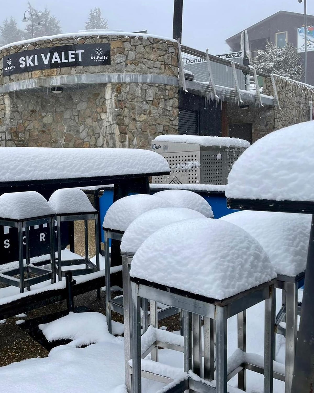
Ski areas have been opening across North America as the snowy weather in the west has continued and there’s now been snowfall too, along with cold weather for snow-making, across the east and midwest. More than 100 centres of all sizes were open last weekend, many of them for the first time this season, partly in the rush to have skiing available to holidaymakers for the Thanksgiving holiday period over the end of this week. Although there seems to be less urgency in Canada than in the US. Dozens of centres are now open north of the border too with the same combination of early opening due to good conditions in the west and cold weather for snow-making arriving in the east. One of the big news stories of the week was an extreme snow event at the end of last week which saw ‘lake effect snow’ pile up to six-feet (1.8 metres) of snowfall in upstate New York, in less than 48 hours, with snowfall particularly intense in the Buffalo area.
ROCKIES REPORT
The Rockies continue to report a great start to the 22-23 season with more resorts opening early after heavy November snowfalls. Colorado’s Beaver Creek (12/24” / 30/60cm) was one of the latest, opening two days earlier than planned, on Monday, Nov. 21 following more than 50 inches (1.25m) of early season snowfall, coupled with favourable snow-,making temperatures. The weather has been selective over the past week with some ski resorts like Breckenridge (8/18″ / 20/45cm) posting over a foot of fresh snowfall this week while in Utah it has been fairly dry after a very snowy first half of the month. However, Alta (20/48″ / 50/120cm) is posting the deepest base in the region and indeed the five deepest bases in the Rockies are all in Utah. More than half of the ski areas in the Rockies have opened in time for Thanksgiving with Arizona Snowbowl, in the south, posting its earliest opening on record last week.
ROCKIES FORECAST
A series of storms are forecast to move through the region over the next few days, the first bringing 3-6” more snow over a wider area, the second going into the weekend looking like it will mainly track to the north.
USA WEST REPORT
Ski resorts have continued to open across western North America, many of them opening early for the season. Those that have been open a week or two have been opening new terrain. Official data showing the early-season snowpack is well above average in most areas. Mt Baker, which holds the world record for the most snow in a season (95 feet in 98-99) in Washington state, was among the new openers in the Pacific Northwest, along with Washington State’s largest ski area on Crystal Mountain. Further south conditions are still looking good in California where most ski areas are now open. Mammoth (46/76″ / 114/190cm) continues to post the deepest snow in the US although, after a week of mostly dry, sunny weather it is down a few inches from seven days ago.
USA WEST FORECAST
It’s looking mostly dry and sunny for the coming week with temperatures hovering around freezing on higher slopes, a few degrees into positive figures in the daytime at resort level. There are early signs of a front bringing heavy snowfall early next week.
MIDWEST REPORT
Ski areas have begun opening en masse across the midwest as cold weather that allowed snow-making systems to fire up early last week was followed by snowfall in the latter half of last week. More than a dozen are now open across the region with Michigan’s Ski Brule (36/36″ / 90/90cm) posting the deepest snow. There have been more snowfalls over the past few days bringing another six inches (15cm) to slopes and temperatures in the 15-35F range.
MIDWEST FORECAST
Cold temperatures in the high-teens to mid-40s Fahrenheit forecast, but mostly dry weather forecast.
USA EAST REPORT
Ski areas across the eastern US announced plans to open as soon as temperatures dropped last week with Sunday River (2/6” / 5/15cm), in Maine, winning the race and opening last Thursday to claim “first in New England.” Snowfall then arrived to end the week and turn everything white around the machine-made slopes. Other bit name resorts to open included Killington (12/12” / 30/30cm) and Stowe (8/18” / 20/45cm), in Vermont and Belleayre and Whiteface, in New York state, where some centres benefitted as well from plenty of ‘lake effect snow”. Killington has been cleared to stage world cup ski racing this weekend. More centres opened right along the east coast though down to the south east corner.
USA EAST FORECAST
Full winter seems yet to settle in with temperatures ranging from 5-10 degrees on either side of the freezing point over the coming week. A mixture of snow and rain showers and sunny spells forecast.
CANADA WEST REPORT
The new season start continues to take shape in western Canada with some of the country’s biggest resorts opening last weekend, some of them earlier than planned due to the good early conditions. Sun Peaks had all three of their mountains open from day one with eight lifts turning and more than 20+ trails available for their first visitors of the season. Big White (30/77cm / 12/31”) and Silver Star were among the other areas open. Grouse Mountain joined already open Cypress on the Pacific Coast with Whistler Blackcomb set to join them later this week. In Alberta, where the season is already three weeks down, Lake Louise (35/42cm / 14/17”) is gearing up to host the opening of the Alpine Ski World Cup 22-23 tour speed events, following the cancellation of the planned new season opening races on a new course from Zermatt to Cervinia earlier this month. At Lake Louise, the men’s competition is coming up this week from November 25 to November 27 and the women’s next week from December 2 to December 4. Sunshine (10/64cm / 4/26″) probably has the most terrain open in the country so far, with more than 50km of runs.
CANADA WEST FORECAST
Cold and cloudy over the next few days but dry for most. Double digits below freezing overnight and during the day at higher elevations. The next significant snowfall is expected to roll in towards the end of the week.
CANADA EAST REPORT
Temperatures stayed low in Quebec, dipping as low as double digits below freezing, allowing for Sommet Ste Sauveur (30/40cm / 12/16”) to claim to be the first in the province to open last week. Big-name resorts like Mont Sainte Sauveur and Tremblant are lining up to open this coming weekend.
CANADA EAST FORECAST
Staying cold with light snow showers and sunny spells in the forecast. Temperatures a few degrees on either side of freezing, more often below than above.
Asia
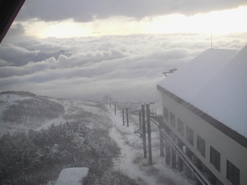
JAPAN REPORT
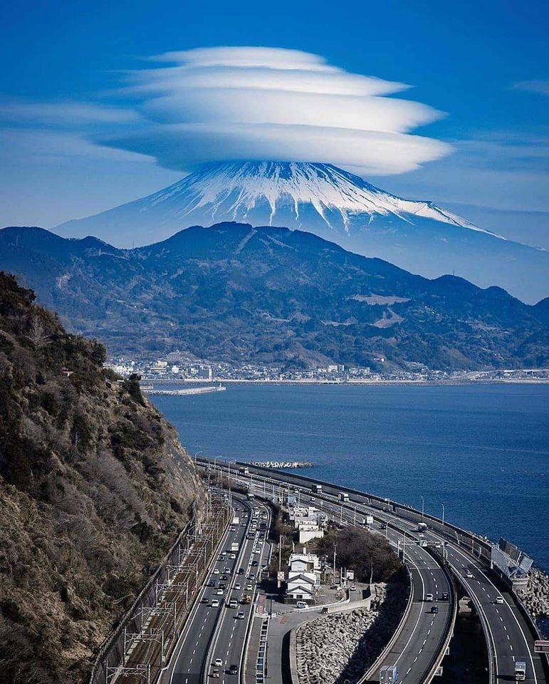
There was fresh snowfall to lower levels across Japanese ski fields in the latter half of last week, with iconic Mt Fuji also turning white. Ski areas including Hakuba, Nozawa and Nagano posted images of slopes turned white and a good covering of fresh snow. Several smaller areas have already opened limited terrain with snow-making and the first big areas are expected to begin opening over the next few weekends.
JAPAN FORECAST
Japan’s traditional late autumn weather pattern of constant snowfall seems to be close to kicking off, fingers crossed. Low temperatures, cloudy skies and frequent snow showers are forecast for the coming week. It is still heading towards +10C at bases so rain for some at lower elevations for now.
You might also like...

A Guide to the Perfect Skiing Stance in All Conditions with Maison Sport

Huge Snowstorm Hitting Western North America

World Snow Roundup #231
