Northern Hemisphere Weekly Snow Roundup #337
Weekly Snow News for Northern Hemisphere, updated 22 October 2026: Zermatt reopens after three month closure; up to 30cm (12") of snowfall on high terrain in the Alps as more glacier centres open; low temperatures and snowfall across North American peaks.
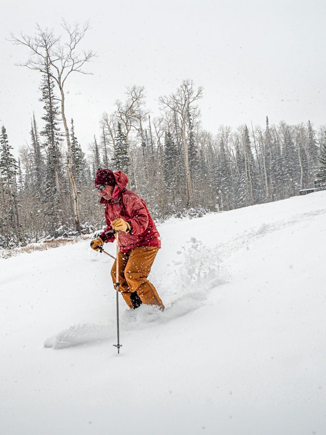
- Six Austrian glaciers open for 26-27 as the FIS Alpine Skiing World Cup Tour is due to kick off in Solden.
- Glacier ski areas at Engelberg and St Moritz in Switzerland set to open for the season following a delay. Zermatt reopens.
- First ski area in Sweden to offer full downhill slopes for 26-27 opening this weekend.
- Snow reported across south eastern European slopes including in Bulgaria and Greece.
Alps Report
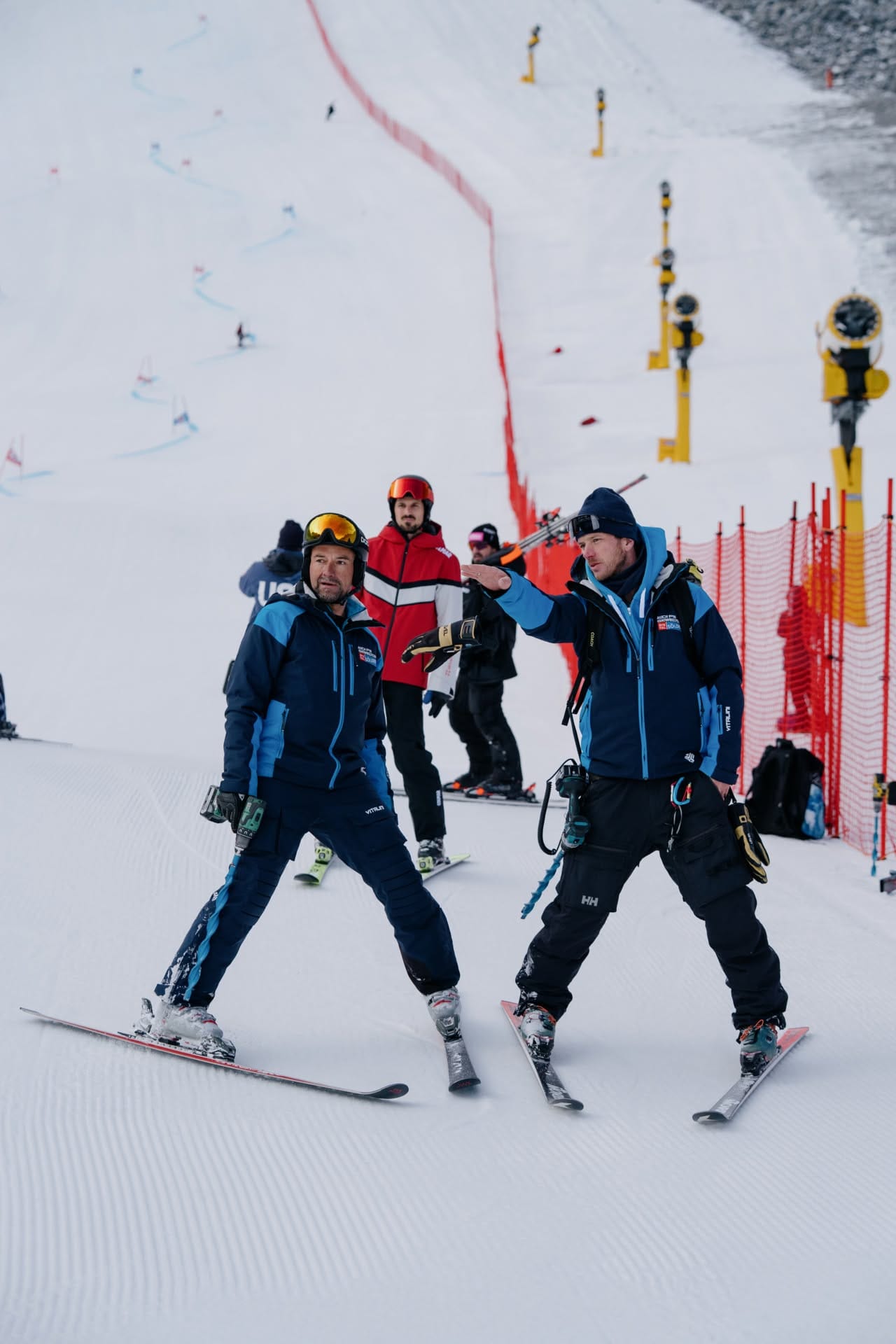
It was another rather challenging week in the Alps, with the freezing point climbing back up as high as 4,000m going into the weekend, and dry, sunny weather impacting snow cover in the afternoons even up at 3,000m altitudes. It has been a little cooler in recent days again though, creeping down towards the low 2,000m altitude level and snow showers returning. It's even been cold enough for overnight snowmaking on high terrain at times.
Infact the past 24 hours have seen 15-25cm (6-10") snowfall on high terrain and the snowline even briefly dropping as low as 1,000m altitudes.
These mixed signals have had mixed results. We have reached double figures for areas open, with Zermatt (0/100cm / 0/40") re-opening after an unprecedented closure of nearly three months in its previously year-round operating model. Austria's Kaunertal glacier (0/50cm / 0/20") has also started its season three weeks later than hoped, taking the total number of ski areas open in Austria to six, about half the total for Europe and a third of the world total this week!
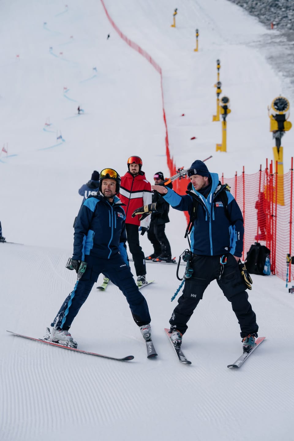
Austria will be the centre of ski racing fans' attention this coming weekend too as Sölden is set to stage the opening women’s and men’s race of the 26-27 Alpine Skiing World Cup tour on its Rettenbach Glacier on the 24th and 25th. The race was given the green light to go ahead at a course inspection by the International Ski & Snowboard Federation (FIS) last Friday.
"The excellent conditions on the race course are the result of meticulously planned preparation: the proven snow farming method, combined with high-performance snow-making systems operated by Bergbahnen Sölden, guarantees a compact and race-ready base. We were able to ensure the races only thanks to 60,000 m³ of snow stockpiled in the spring specifically for the World Cup course. I would like to thank the excellent team of Bergbahnen Sölden, who have perfected the art of snow farming," commented Isi Grüner, Race Course Director.
Sölden is currently posting the most terrain open in the northern hemisphere with 24km (15 miles) of slopes available.
This weekend we also expect two more Swiss centres to open, with the slopes on the Titlis glacier above Engelberg set to open a fortnight later than planned. The Diavolezza glacier near St Moritz is also expected to open to the public a week later than hoped, although initially only three days a week, after initially opening to race teams for training.
“The piste preparation on the Diavolezza has so far been hampered by lots of sun and warm temperatures. The technical snowmaking was only partially possible, which is why the ski trail remains reserved for the training groups for the time being. It is expected to be open again for all ski and snowboard fans from Saturday, October 24th - every Wednesday, Saturday and Sunday. Thank you for your understanding,” a spokesperson commented.
Alps Forecast
The Alps move through a changeable four‑day stretch, with alternating sunshine, cloud and periodic snowfall at higher elevations. A broad westerly flow keeps temperatures mild in valleys (8–14 °C) but cooler on upper slopes. Snowfall is most likely above 1,800–2,200 m, with Swiss and western Austrian peaks seeing brief but locally heavier bursts as fronts pass. French resorts trend slightly milder, favouring rain low down and wet snow higher up. Italian high alpine zones, may see several centimetres of new snow on terrain above 2,500 m. Overall, expect mixed weather: sunny breaks, passing showers, rising then lowering snow lines, and modest fresh accumulations on the highest glaciers.
Scandinavia Report
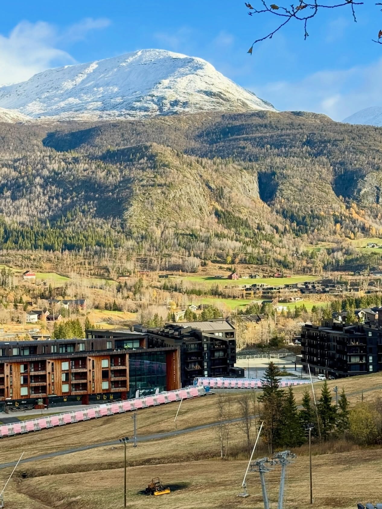
It has been a predominantly dry and sunny week across much of Scandinavia, the clear skies helping temperatures dip well below freezing on mountains overnight, good news for preserving the first snowfalls earlier this month and in some cases for snowmaking systems to fire up already. A fifth option is due to open in the region this weekend, and the first outdoor cross-country loop and downhill ski slopes in the country for 26-27, as Idre Fjall is due to unveil its slopes, created with snow farmed and stockpiled through the summer from last season and spread back out on the slopes. It joins Kläppen’s freestyle terrain park that's been open a few weeks thanks to the same snow preservation and recycling technique used at the Sälen ski area. Then we’re three weeks into the 26-27 season, again thanks primarily to snowfarming, over the border in Finland where Levi (10/50cm / 4/20”) and Ruka (10/40cm / 0/16”) are both still operating about 2km (1.25 miles) of downhill runs each, as well as terrain park features. Finally, the highest slopes in the region at Norway’s Galdhopiggen Glacier (0/70cm / 0/28”) are also open, but they continue to restrict access to race teams training.
Scandinavia Forecast
Northern Scandinavia stays seasonally cold over the next four days, with frequent light snow across higher terrain in Finland, Sweden and Norway. Levi and Ruka trend between –2 °C and 4 °C, with occasional flurries and freeze–thaw cycles, bringing mixed snow‑and‑rain at lower levels but light snow on upper slopes. Norwegian mountains remain colder, often –5 °C to 2 °C, with periodic snow showers and brisk winds. Overall, expect a blend of light snowfall, chilly nights and brief milder spells, with the most reliable snow holding on higher Norwegian terrain.
North America Report
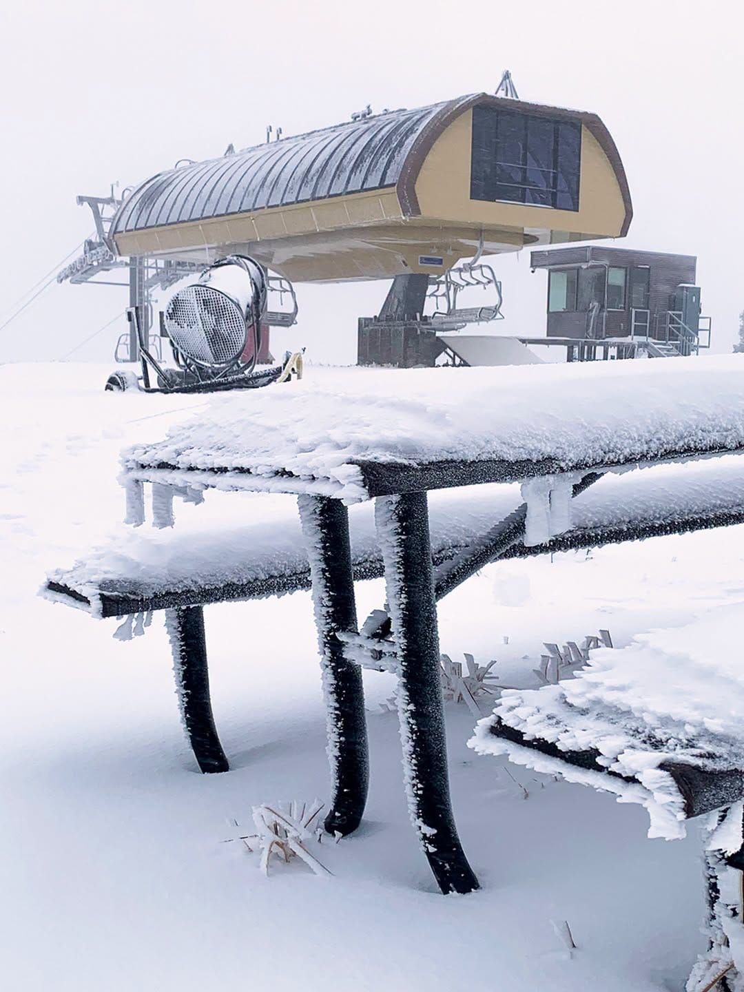
It has been quite an exciting week across North American ski areas with multiple storm systems depositing up to a reported 14” (35cm) on high terrain. Some higher altitude areas like Arapahoe Basin and Keystone in Colorado reported top-to-bottom snowfall. Skiers and riders were pictured hitting the fresh snow before any ski areas had officially opened, including at Colorado's Silverton and at Brian Head in Utah. There were also reports of a cheeky boarder taking a run at Alta, one of the few resorts that still ban boarding, before the centre opens.
We're now only a fortnight away from the first dates on the first weekend of November that a number of ski areas, including Breckenridge and Copper in Colorado and Sunshine near Banff, have named as their target season opening days. But a number of other resorts that haven't named a day are battling to be the first to open, hopefully in October. They include Keystone and Arapahoe Basin in Colorado, which have both been posting updates on snowmaking progress and celebrating cold temperatures to help with that.
"The guns are firing, the snow is flying, and we're getting pumped for winter. All this hard work from our snowmakers and mountain ops is getting us one step closer to opening day ASAP!" an Arapahoe Basin spokesperson commented at the weekend.
North America Forecast
North American mountains face a dynamic four‑day spell, with several ranges seeing meaningful snowfall at higher elevations. The Sierra Nevada picks up moderate snow above 8,000–9,000 ft, tapering later in the period. The Northern Rockies turn colder, with snow levels dropping from 9,000 ft to around 6,000 ft, bringing moderate accumulations to Idaho and Montana. The Tetons, Wind River and Absaroka ranges hold snow levels near 8,000 ft, with a chance of 4–6 inches on upper terrain. Colorado’s San Juans fluctuate, starting very high near 13,000 ft before lowering toward 9,000 ft, supporting heavier upper‑mountain snowfall. Overall, expect variable but increasingly wintry conditions at elevations above roughly 8,000 ft