Northern Hemisphere Weekly Snow Roundup #332
Weekly Snow News for Northern Hemisphere, updated 17 September 2026: Heavy September snowfall in North America's Northwest. Wraps come off glaciers and stockpiled snow ahead of season in Alps and Scandinavia.
- Alps: Second glacier area expected to open this weekend, joining Passo Stelvio.
- Norway: Summer skiing expected to restart this weekend with glacier area reopening.
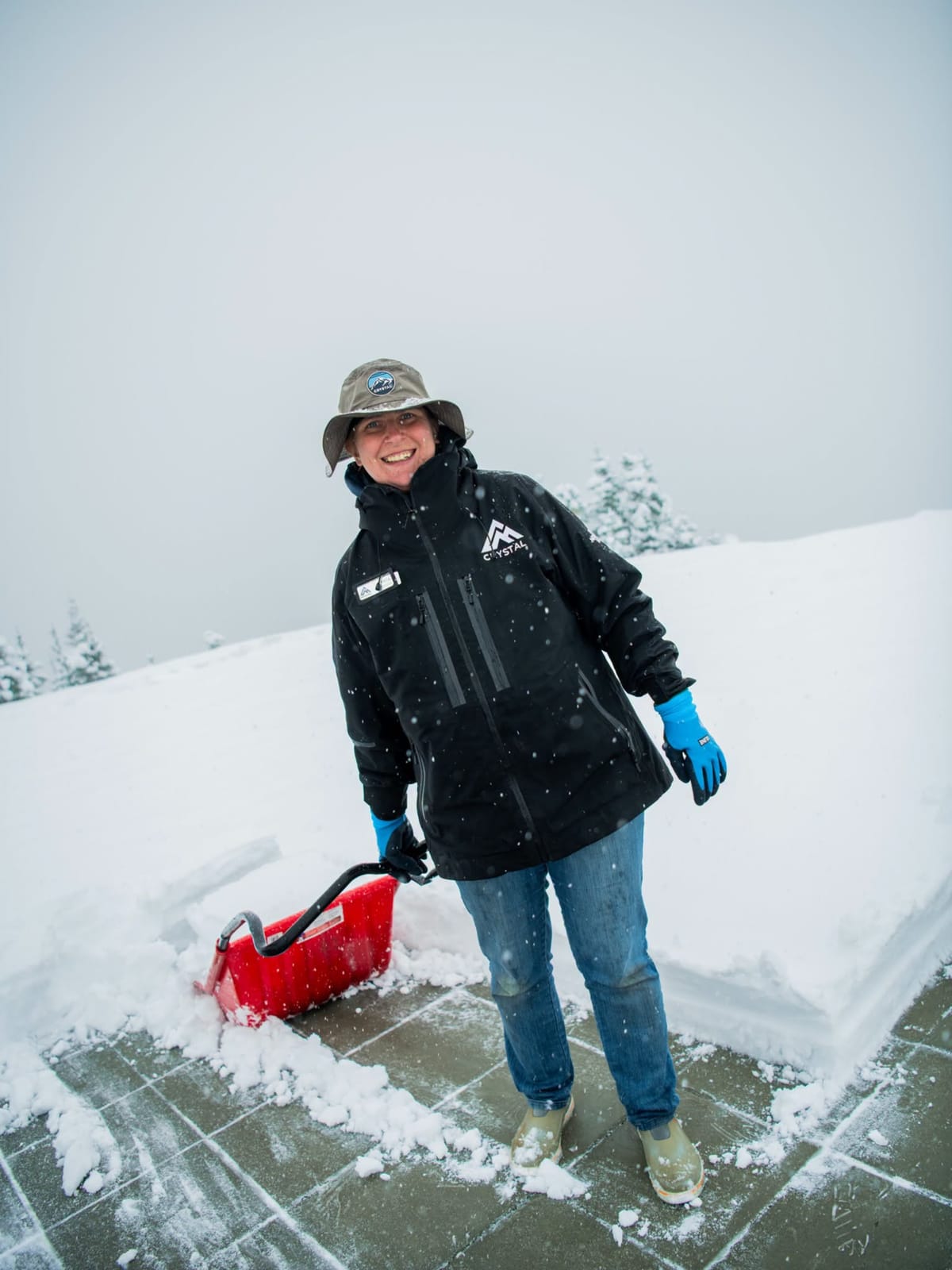
- North America: First snowfall reported in Washington State.
- Europe: Protective covers come off glaciers and snowfarming piles as summer temperatures cool.
Northern Hemisphere Report
September snowfall has been reported in both Canada and the Alps. That was at the same time as fresh snow also appeared on slopes in New Zealand, marking one of those twice yearly changeovers when the northern and southern hemispheres move through their seasonal transition.
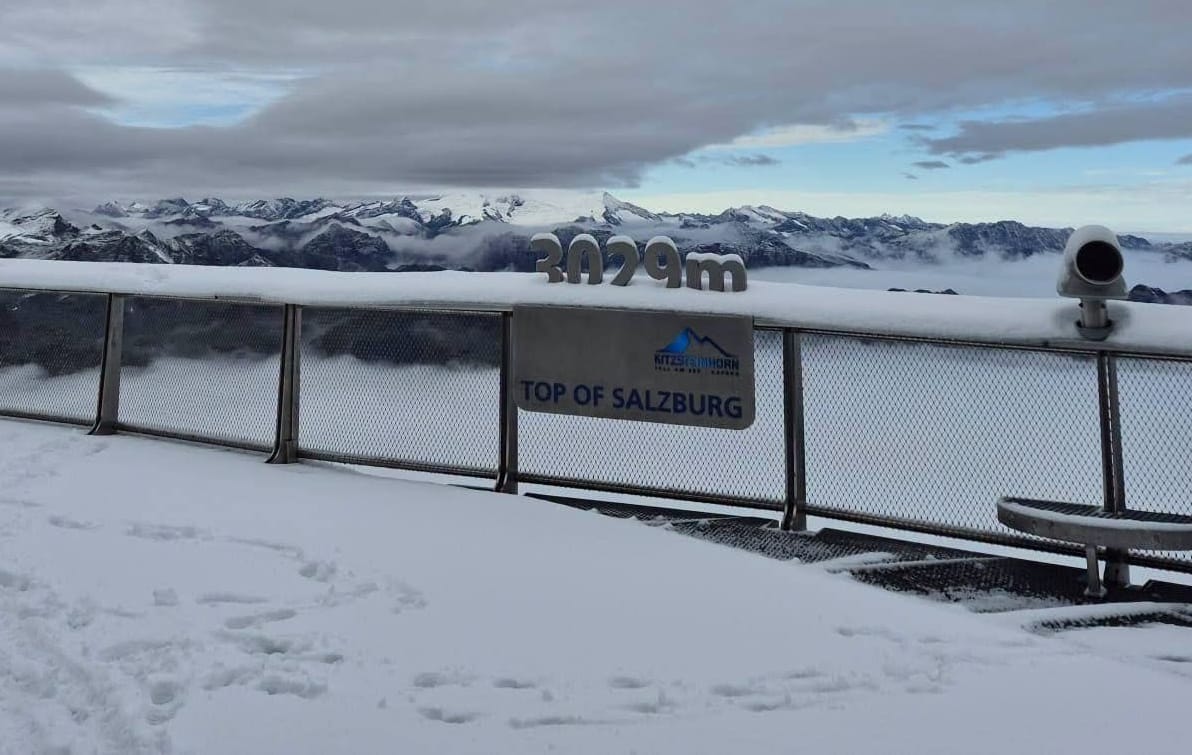
Up to 20 cm (8”) was reported above 3,000 m in parts of the Alps, offering a welcome break after months of unusually warm temperatures that stripped most glacier snow cover.
Sölden, which is one of four Austrian glaciers aiming to begin their 26–27 ski season in just over a fortnight, logged the 20 cm (8”) fall but Pitztal, which also plans to open soon, also posted pictures of fresh snow.
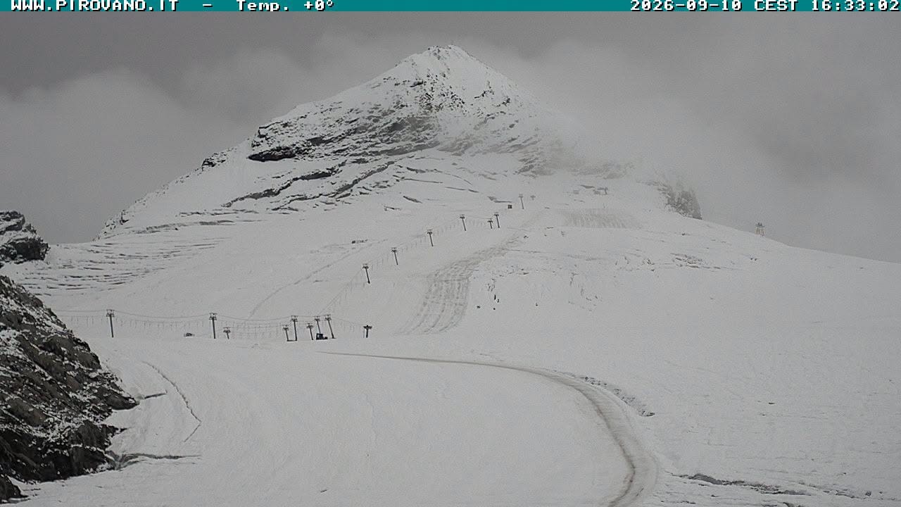
Italy’s Passo Stelvio (0/40cm / 0/16”), still the only summer ski area that closed due to last month’s heat but has since reopened, was also among those showing a renewed white blanket on its webcams this week.
Around six other Alpine glaciers plan to open, or re-open before the end of the month however, all being well. One influencer up on Zermatt's glacier at the weekend reported fresh snow and subzero temperatures has left it in much better shape. A second Italian glacier, Val Senales, is also expected to start its season this weekend.
In a further sign that winter is coming, Norway’s Galdhøpiggen summer ski centre, which closed last month for a mid-summer break, has announced it expects to reopen for a final few months of glacier skiing from this coming weekend on the 19th. It has reported overnight lows staying below -1 and -6C over the past weeks, daytime highs only getting a little above freezing and a few fresh light snowfalls.
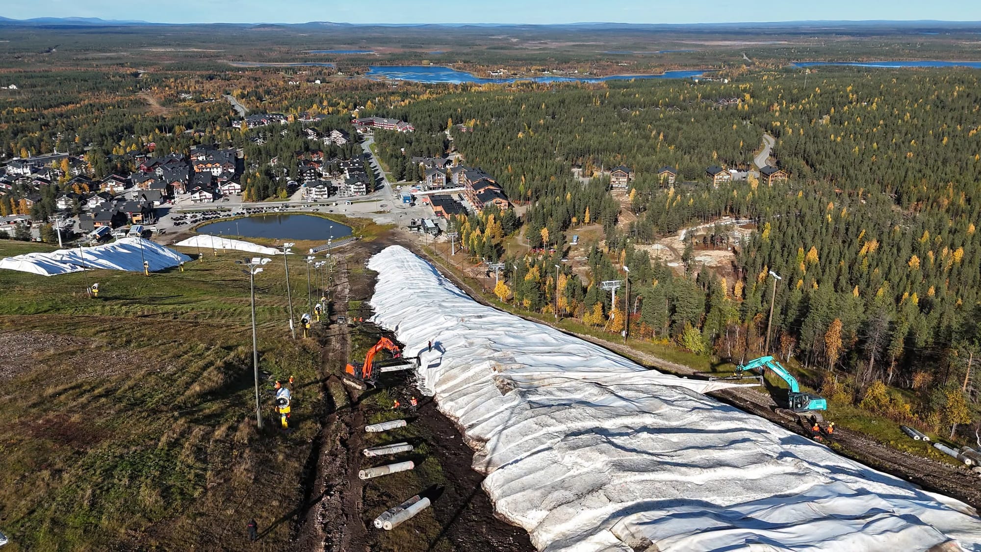
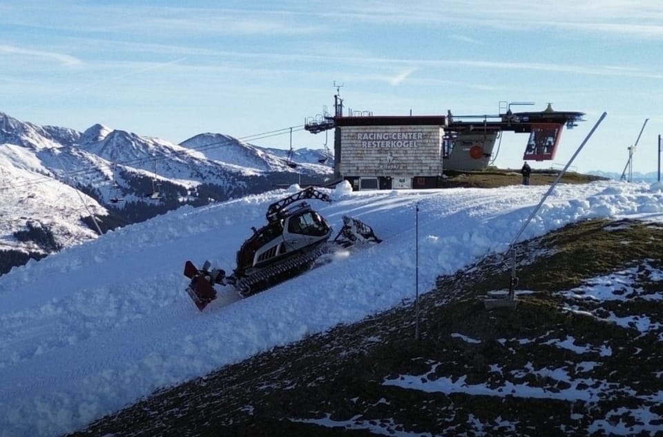
Up in Finland ski areas like Levi and Ruka have also begun removing protective covers from their huge stored snow piles ahead of their seasons starting ina fortnight. The same has been reported for glaciers in the Alps.
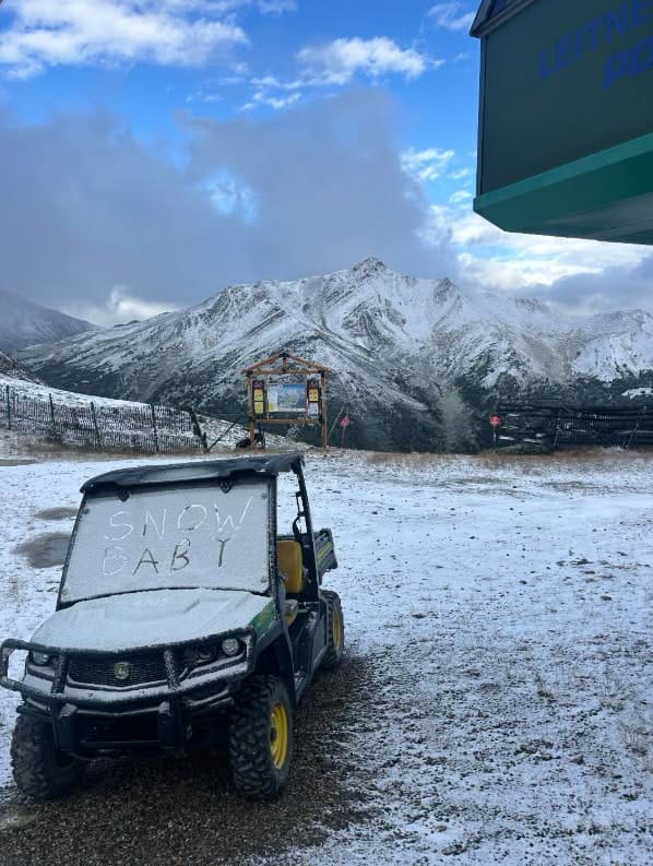
North America’s Northwestern corner saw some good September snowfalls with Crystal Mountain posting a 6" (15cm) accumulation and Banff’s Sunshine in Alberta putting up images of its slopes turning white for the third or fourth time in the past month.
Northern Hemisphere Forecast
Above 3000 m, the Alps turn briefly unsettled, with light to moderate snowfall expected as several weak fronts pass through. Snow lines fluctuate between roughly 2,900 m and 4,000 m, allowing high glaciers to pick up small 5-10cm (2-4”) accumulations, especially over the next 24 hours when precipitation peaks. Temperatures at summit level hover around −5 °C to +2 °C, with wind generally light from northerly or southwesterly sectors. From the weekend onward, conditions stabilise into a mostly sunny pattern, offering long clear spells, stronger high pressure and improved surface refreeze overnight.
In North America a further brief unsettled spell brings light snow to the highest summits as Pacific moisture clips the Coast Mountains and Rockies. Accumulations remain modest, with freezing levels near 9,000-11,000 feet and summit temperatures in the mid 20s-30s Fahrenheit. Winds stay moderate from the southwest. High peaks in the Sierra and Wasatch may also see scattered light snowfall under passing weak troughs, with snow lines near 2,700–3,200 m. Next week a strengthening ridge favors clearer skies, calmer winds and stronger diurnal freeze–thaw cycles.