Heavier October Snowfall For Western US

A cold front carrying a lot of moisture is bringing heavier snowfall than we’ve seen so far this fall to ski areas across Western North America.
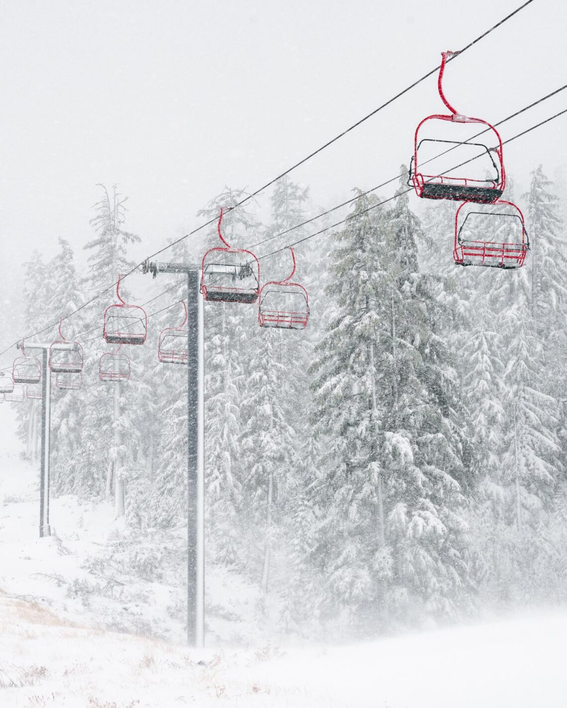
Snowfall has been reported over the last 24 hours at ski resorts in states across the west, the heavier probably in Oregon where Mt Bachelor posted 6” (15cm) on Wednesday (pictured above and bottom).
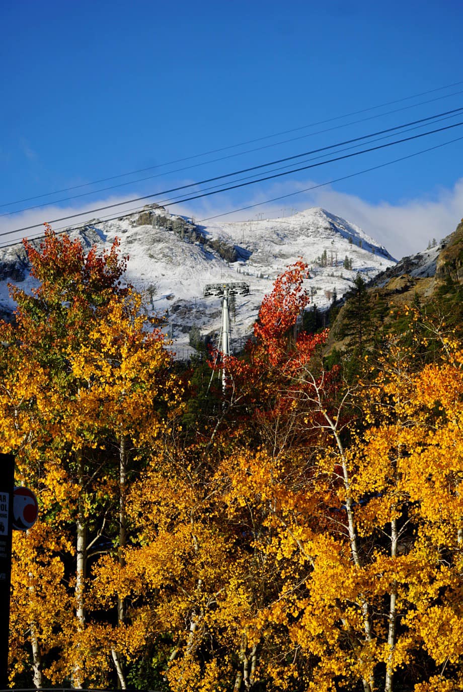
There was also snowfall further south in California with The Palisades reporting its first proper snow cover on high slopes (below). It has had a light dusting in September.
Warmer temperatures mean the snowfall may turn to rain over the next few days along west coast mountains but there’s optimism that further inland the highest slopes in the Rickies could see significant snow accumulations by the weekend.
Several resorts including Arapahoe Basin, Loveland and Keystone have already begun snowmaking with the aim of opening in October if they can, so if the snowfall arrives as expected, with up to two feet (60cm) forecast, it could help them open sooner.
North America’s 23-24 ski season is expected to be influenced by the strong El Nino system in the Eastern Pacific which, based on average, is generally expected to bring warmer, wetter weather to the west and northwest of the continent, colder snowier weather to the East and about average conditions to states like Colorado and Uath, although this all remains highly uncertain.