Alps and Europe Weekly Snow Roundup #292
Weekly Snow News for Europe, updated 10 December 2025: early-season terrain expands as warmer afternoons lift freezing levels above 3,000m on lower slopes.
Europe Snow Report and Ski Conditions — Early December 2025
- Mixed early-season picture across the Alps and Pyrenees.
- Austria and Switzerland expand terrain despite warmer afternoons.
- Pyrenees enjoy strongest early-December start in years.
- Avalanche risk remains considerable in parts of France and Switzerland.
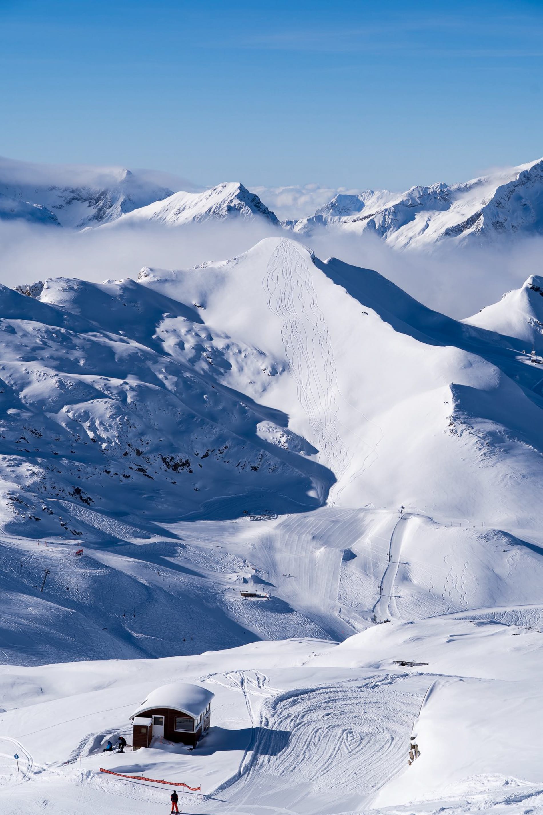
It’s a mixed picture across Europe this week, with some solid snow accumulations up to the end of the weekend, leading to refreshed cover, especially on higher slopes in the Alps. Meanwhile, more centres have opened, and those already open have expanded the terrain they offer, so basically, the number of runs available to ski is now increasing rapidly. The only real issue has been a spell of warmer weather since Sunday/Monday, pushing the freezing level up to 3,000m in the afternoons, which affects lower-lying terrain.
Austria Snow Report and Ski Conditions
Everything remains quite positive for the early-season build-up in the Austrian Alps. There have been no significant snowfalls in the past week, but several top-ups of 5-15cm (2-6 inches) are expected through to the end of the weekend, alongside some pleasant blue ski periods to enjoy them in between. Tirol and Vorarlberg are the most fortunate, with temperatures staying low, and higher-altitude areas experiencing the most consistent accumulations.
Temperatures stayed well below freezing at mid- and upper-mountain levels, helping preserve the early snow cover; even the valley floors saw light snow showers last week. However, since Monday, temperatures have warmed up, with afternoon highs reaching +10 °C at 2,000m, although overnight lows remain at freezing on valley floors; conditions are generally dry.
Most of Austria's major ski areas are now open, along with many smaller ones, and an ongoing effort is underway to open more terrain. Currently, Ischgl leads with 25/35cm (10/14 inches) of snow, 80% of it open, despite a thin base, with about 180km (113 miles) of slopes available. The country's largest area, the Arlberg (20/90cm / 8/36 inches) around St Anton and Lech, opened last week, but only about a third of its terrain is open so far.
Austria Weather and Snow Forecast
It appears that most of the Austrian Alps will remain dry for the rest of this week. The freezing point will fluctuate between around 1000m and 2000m altitudes over the 24-hour cycle, with little or no snowfall expected. Temperatures will stay cold enough for snowmaking on high terrain overnight, generally between 7°C and 2°C. Lower valleys may experience mixed precipitation, but the majority of ski terrain at altitude should remain wintry.
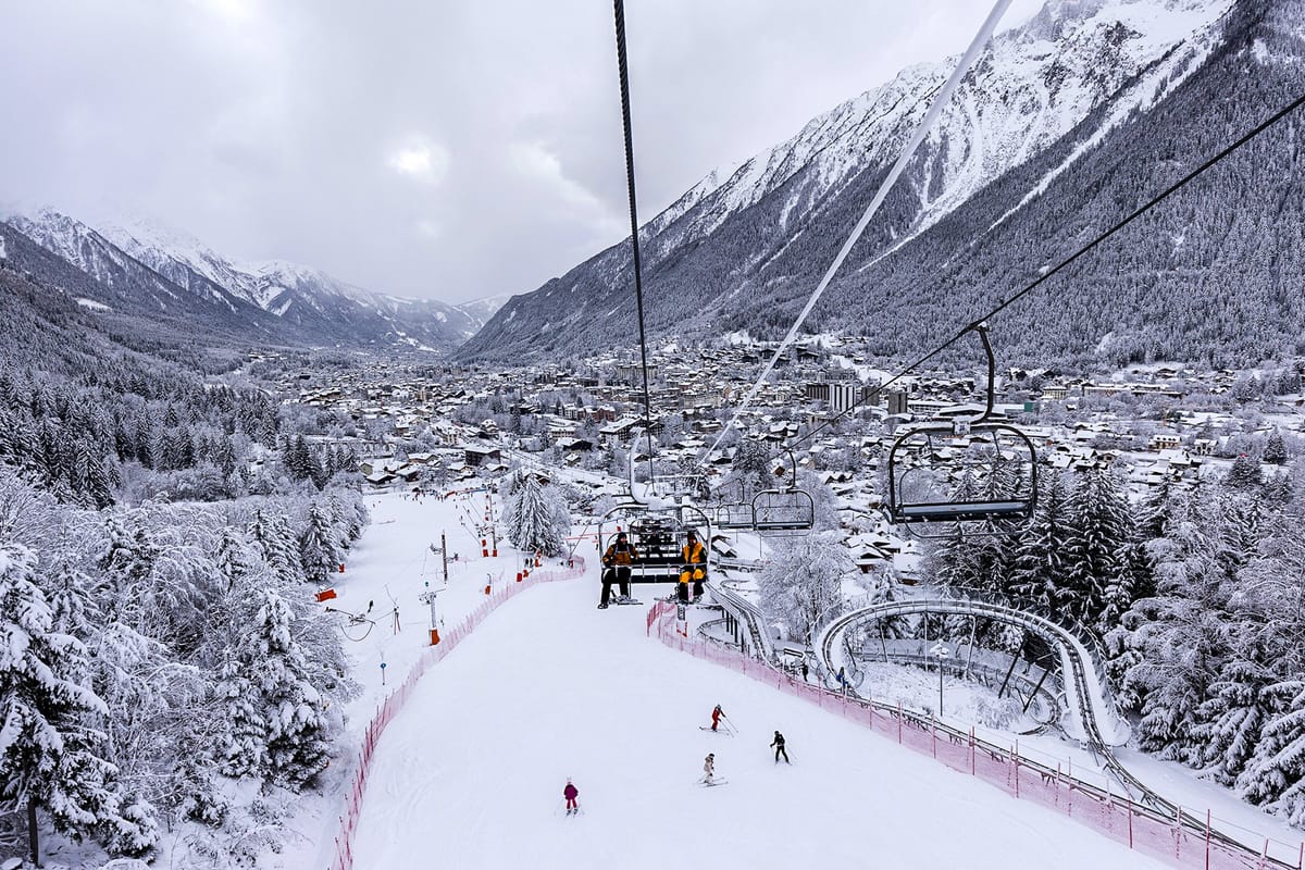
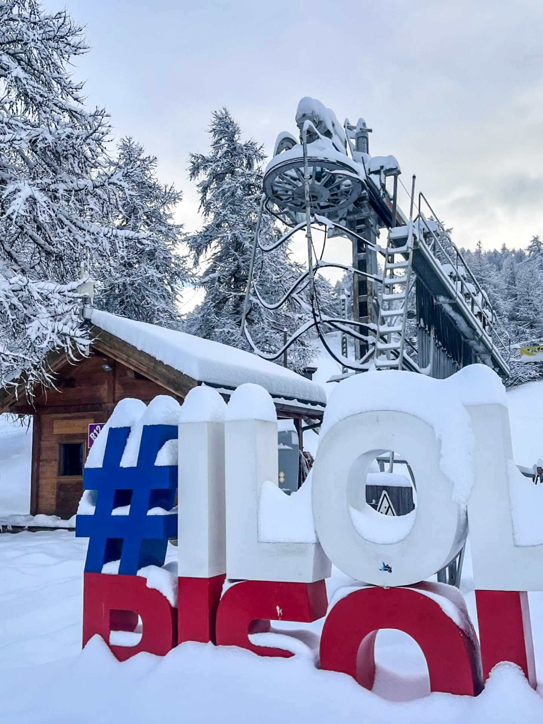
France Snow Report and Ski Conditions
The French ski season is beginning to take off, with the world’s largest ski area, the 3 Valleys (70/120cm / 28/48”), opening all its sectors and more than half the terrain this week. Over 200 runs and 300 km (187 miles) are already available. Last week was quite snowy overall, especially towards the weekend. There weren't many heavy falls, but regular top-ups of 5-15cm (2-6") kept the slopes refreshed.
There have been some surprises, such as Risoul in the south recording a 30cm (12”) snowfall within 24 hours instead of the expected 5cm (2”). Since then, it has been warmer and drier, but temperatures generally stayed well below freezing at mid- and high altitudes. Recently, the freezing level has risen back to around 2,000m and even 3,000m in some areas during mid-afternoon. Avalanche warnings remain significant to considerable across many regions.
Another vast area, Paradiski, encompassing Les Arcs and La Plagne, will open this weekend for its 25th-26th season.
France Weather and Snow Forecast
French ski areas are expected to experience mostly dry conditions for the rest of the week, with plenty of sunshine. Cold air will be present at high altitudes above 2,000m, although lower slopes may occasionally be affected by warmer temperatures. There is a small chance of fresh snowfall on higher terrain across much of the French Alps, with snowfall amounts varying by elevation. Lower valleys may see more mixed conditions as freezing levels rise above zero up to 2,000m in the afternoons. At higher elevations, temperatures will stay colder, typically between 8°C and 2°C, keeping pistes firm and enabling snowmaking to continue.
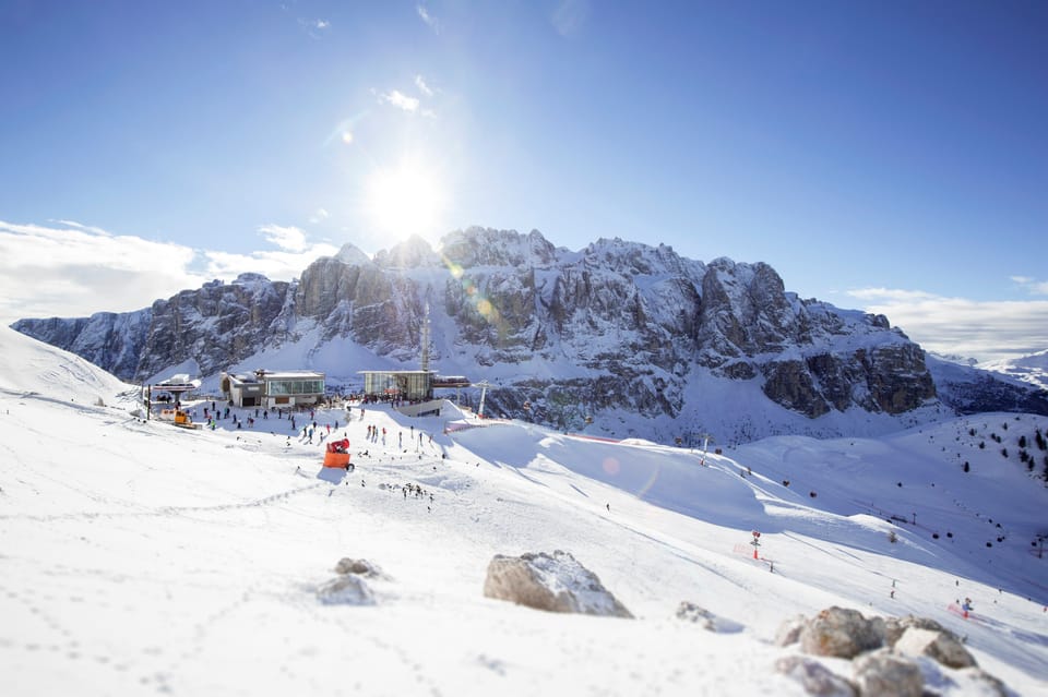
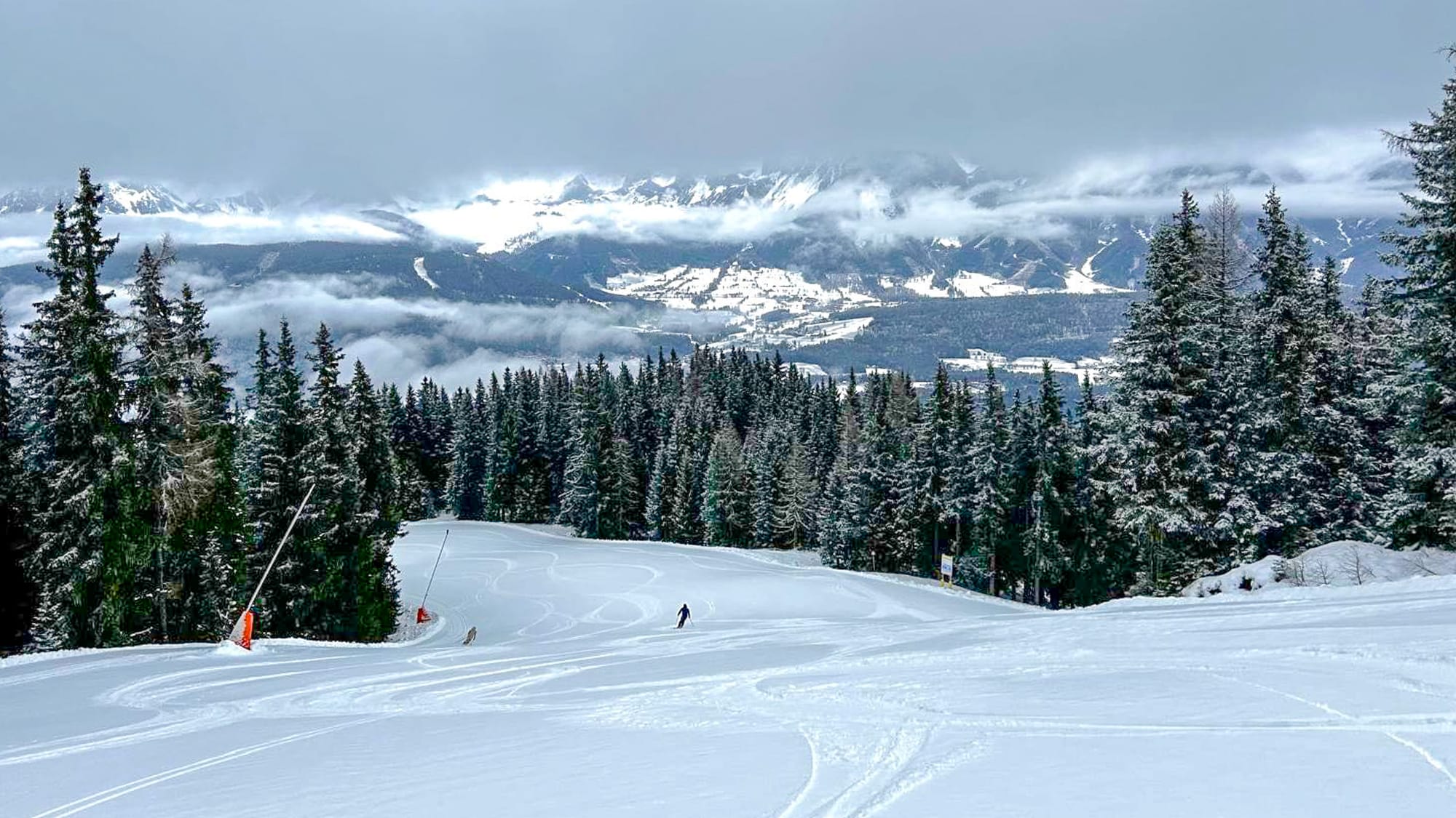
Italy Snow Report and Ski Conditions
Italy’s giant Dolomiti Superski began its full rollout over the weekend, with about 400km (250 miles) of its area open initially. As usual, Val Gardena stands out, soon to host its annual World Cup events, including a downhill race rescheduled after cancellation last weekend at Colorado's Beaver Creek. It is already around 80% open, with approximately 150 of its 180km (93 of 113 miles) of terrain available from day one.
The Italian Alps and Dolomites experienced light to moderate snowfall over the past week, with cold conditions at altitude keeping pistes firm. Most of the snow available for skiing so far has been machine-made. Temperatures have been below freezing overnight, hovering around -5°C to 0°C at mid-mountain, though it has been warmer at lower levels in the afternoons, as elsewhere. The weather has been drier too, with some light precipitation, including rain and sleet below 1800m. However, the higher terrain remains wintry.
Italy Weather and Snow Forecast
As with the rest of mainland Europe, Italy is expected to remain mostly dry with plenty of sunshine into next week. Little or no new snowfalls are anticipated, and the freezing point will vary between 1,500 and 3,000 metres in altitude. Temperatures on high slopes above 2,000 metres across the Italian Alps should stay between 5°C and 0°C.
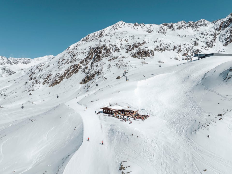
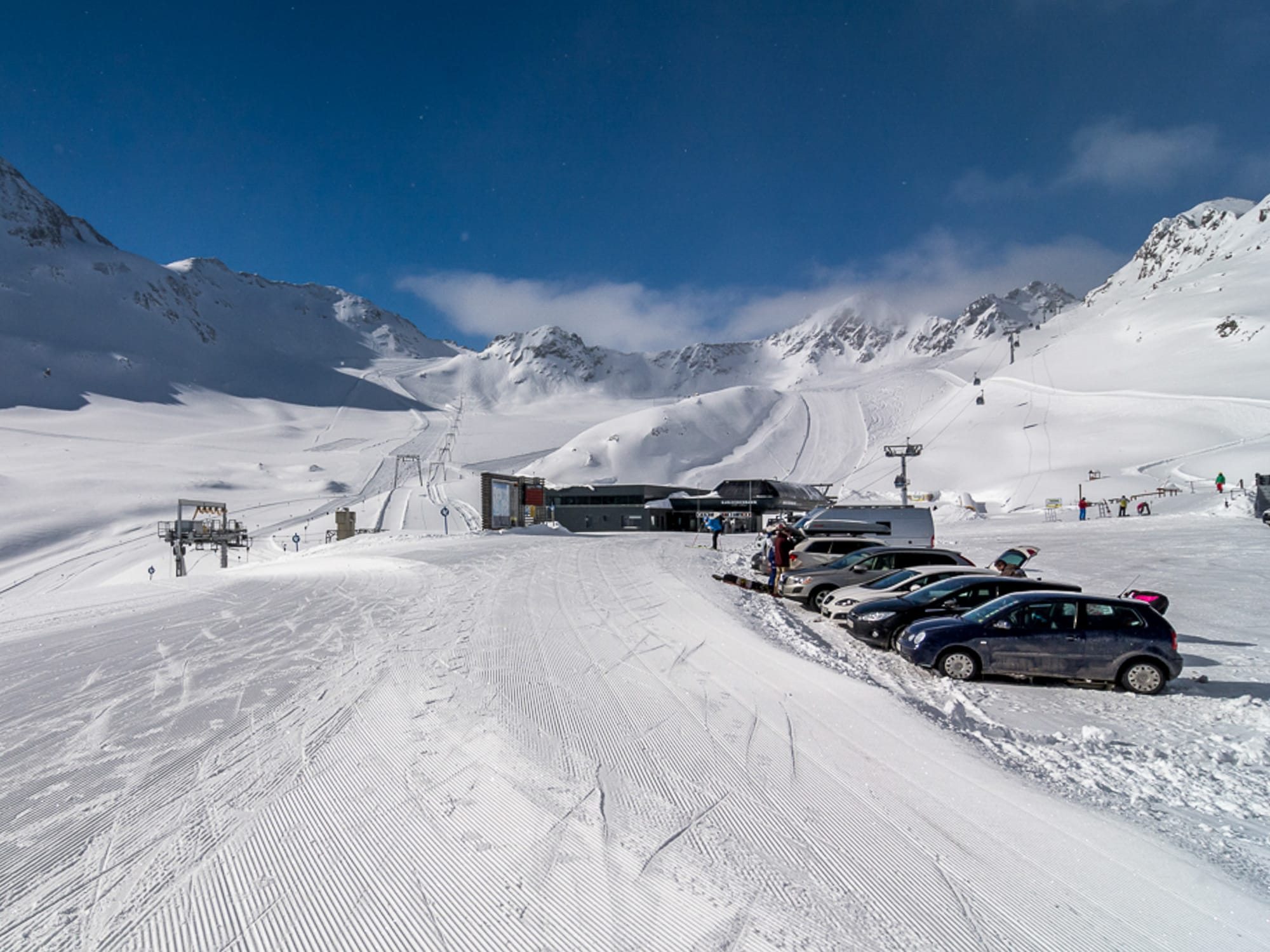
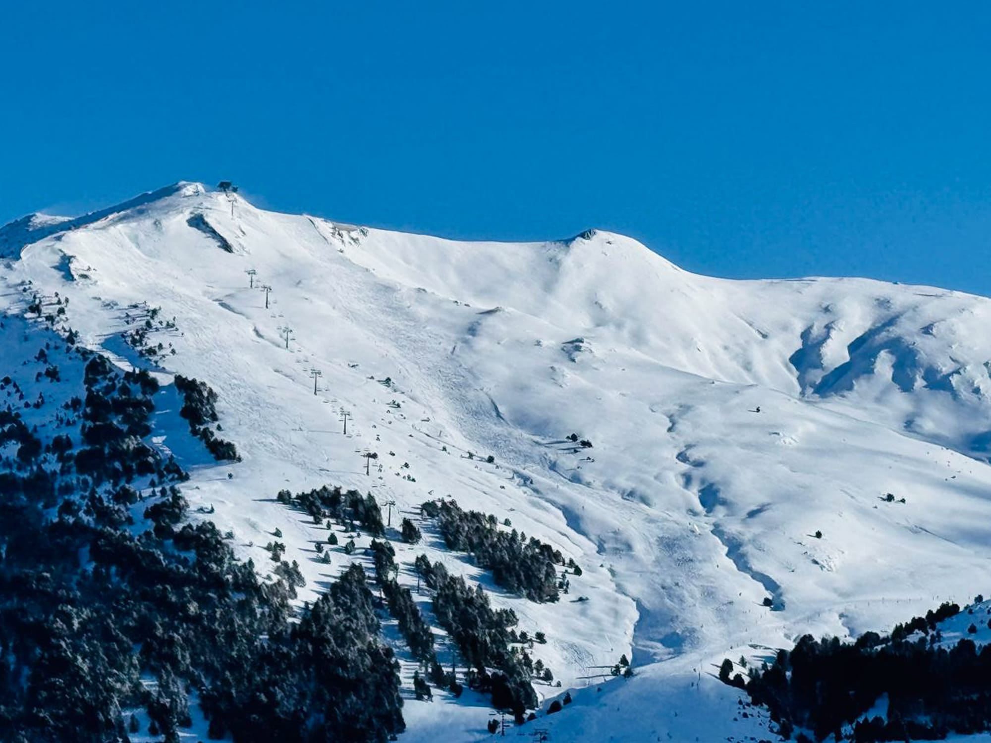
Switzerland Snow Report and Ski Conditions
Higher slopes in the Swiss Alps experienced a snowy week until Monday, with heavy accumulations at times and cold temperatures that maintained wintry conditions. Although the large falls from a fortnight ago were not repeated, there were roughly 40–60cm accumulations throughout the past week. The cross-border Samanun – Ischgl (25/35cm / 10/14”) and Zermatt – Cervinia (10/160cm / 4/64”) areas continue to have the most terrain open in the country so far, with 190km and 170km respectively.
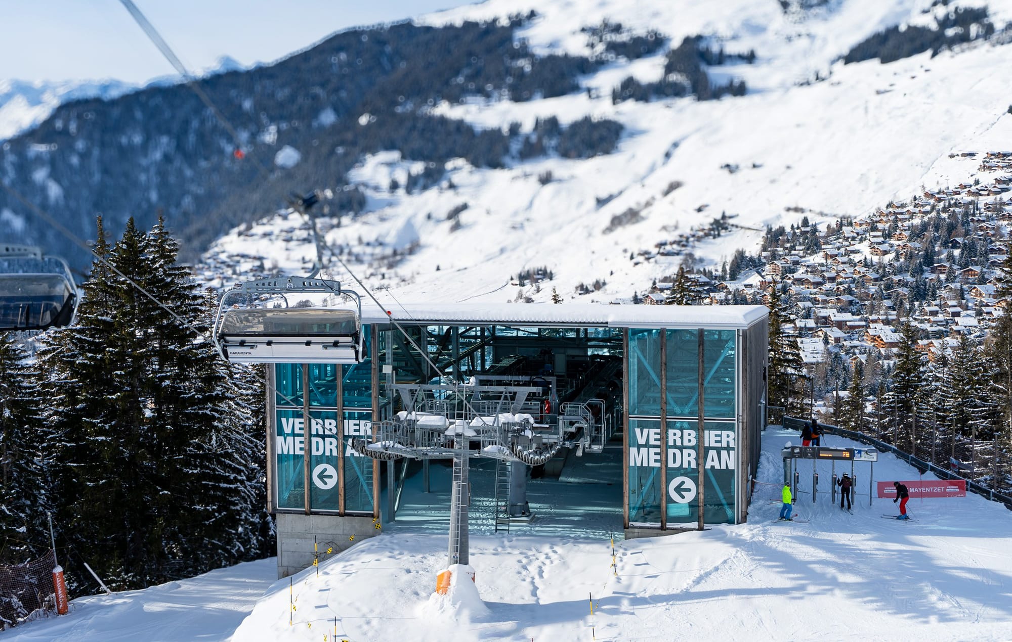
Other regions are opening more, for example Verbier (4 Valleys), where over 25% of the terrain (more than 100km / 63 miles) is now accessible. Temperatures will stay below freezing above 2000m, ensuring the preservation of the new snow cover. However, after snow reached valley floors, milder spells over the past few days have lifted the freezing level. Avalanche warnings remain considerable to high, especially in western Switzerland.
Snow depths here are also among the deepest in the world, with Gstaad's Glacier 3000 measuring 360cm (12 feet) at higher elevations.
Switzerland Weather and Snow Forecast
Swiss ski areas can expect warmer weather and plenty of sunshine, leading to dry conditions throughout the weekend. The freezing level will occasionally rise above 2,000 m in the afternoons, but summit temperatures will still fall to –10 °C to –4 °C at 3,000 m. At lower altitudes, temperatures will be milder, ranging between –2 °C and +8 °C.
Pyrenees Snow Report and Ski Conditions
This December marks a stark contrast to last year’s sluggish start in the Pyrenees. Heavy snowfall has provided the strongest early-season conditions since before the pandemic, with up to 47cm reported in France and 20–40cm in Spain over the past 72 hours.
Resorts are opening more terrain earlier than usual, with Baqueira Beret exceeding 100km by the weekend, featuring more than 80 runs open and all but two of its 36 lifts operating. The region's largest area, Andorra’s Grandvalira, also commenced its season. On the French side, Cauterets boasts the deepest snow cover at altitude.
All this is good news for what is a key early-season week for resorts in the region, with multiple pre-Christmas bank holidays prompting early bookings, subject to snow conditions and open slopes.
Pyrenees Weather and Snow Forecast
The Pyrenees will experience unsettled wintry weather midweek, with light fresh snow at altitude and mixed precipitation lower down. After that, it’s expected to be mostly dry and sunny with summit temperatures around –5 °C and bases near +5 °c. In the French Pyrenees, it will be a little colder in Andorra and the Spanish Pyrenees. Freezing points will be around 1500m and 2500m. Strong westerly winds may reduce visibility at times and could disrupt lift operations.
Scandinavia Snow Report and Ski Conditions
All of Scandinavia's leading ski areas have now opened, but there hasn't been much snowfall to report so far. It has been colder and snowier this past week. The region’s largest resort, Sweden’s Åre (14/14cm / 6/6"), is open but with less than 10% of its slopes available so far. Hemsedal (22/26cm / 9/11"), has the most terrain open so far, about a quarter of its runs. Norway’s Gaustablikk (80/100cm / 32/40"), is reporting the deepest snow in Scandinavia, the first to reach the metre mark.
Scandinavia Weather and Snow Forecast
Wintry conditions are expected across Scandinavia over the next 72 hours, with light to moderate snow showers affecting Norway, Sweden, and Finland. Higher elevations are forecast to receive 5–15cm (2-6”) of fresh snow, especially in Lapland and northern Norway, where temperatures stay well below freezing. Summit temperatures will range from –6 °C to –2 °C, while at lower levels they will be between –2 °C and +3 °C, bringing occasional sleet or rain to the lower slopes. Westerly winds will be moderate to strong, reducing visibility and potentially affecting lift operations.
Eastern Europe Snow Report and Ski Conditions
Around a third of Eastern Europe’s ski areas are now open, mainly in the northern ranges such as the Giant and Tatra mountains across Czechia, Slovakia, and Poland. Jasna (40/60cm / 16/24”) has the most terrain open, just over half of its total, while most early-opening centres are still operating on 5-20%.
Recent days have seen mixed early-December conditions, with mostly dry weather, freeze–thaw cycles, and temperatures fluctuating from –2°C overnight to +3°C during the afternoons at altitude, accompanied by light winds. Further south in the Balkans, cooler weather has arrived with a light dusting of snow, and similar swings between –1°C and +4°c.
Bulgaria’s season is expected to begin this weekend with Bansko, Borovets, and Pamporovo anticipated to open, provided conditions remain suitable, and snowmaking remains possible.
Eastern Europe Weather and Snow Forecast
Eastern European ski areas will experience mixed conditions over the next 72 hours, with modest snowfall, fluctuating temperatures, and unsettled weather. Across the Carpathians, Balkans, and Tatras, light to moderate snow showers are expected, especially at higher elevations above 1,500 m. Temperatures will remain near freezing on summits, dropping to –3 °C overnight, while valley bases stay milder at 2–6 °c. Rain and sleet may impact lower slopes. Winds will be gusty at times from the west, occasionally strong on exposed ridges, reducing visibility. Overall, ski areas will gain a thin fresh layer of snow at altitude, but conditions will stay variable, with wet lower slopes and intermittent wintry spells.
Scotland Snow Report and Ski Conditions
Scottish ski areas are experiencing their usual fluctuations. Cairngorm has had the best of it over the past week, with bases rebuilding after the warm spell a week ago. Unfortunately, Storm Bram is currently hitting the Highlands, bringing torrential rain, gales, and, importantly, warmer temperatures, which may