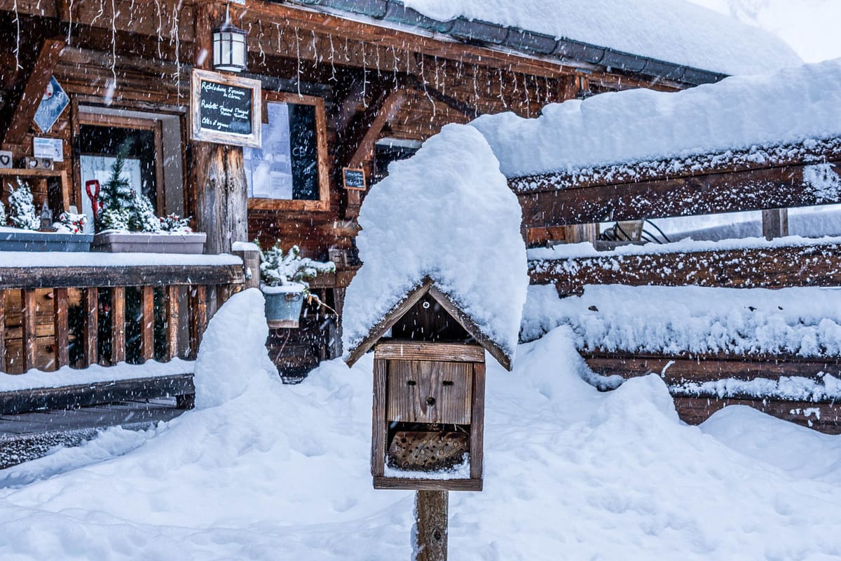
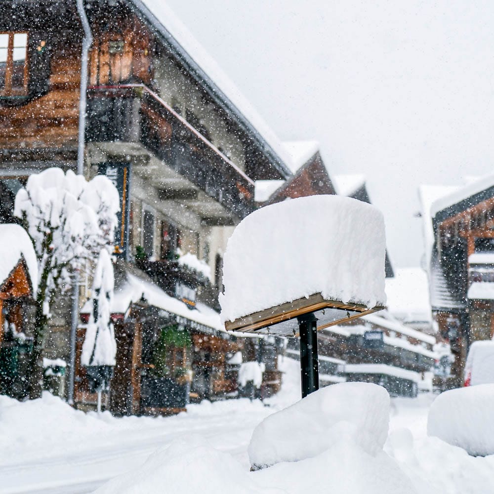
Europe Weekly Snow Roundup #291
Weekly Snow News for Europe, updated 3 December 2025: early-season openings from the Alps to Scandinavia and the Pyrenees.
Europe Snow Report and Ski Conditions 2025/26
- A calmer week in Europe after heavy early-season snowfalls.
- Alps leaders open up to 160km (100 miles) of pistes.
- New season starts in Czechia, Norway, Slovakia and Spain.
- Pyrenees and Scandinavia launch their 25-26 seasons.
- Scottish ski centres battle typical changeable Highland weather.
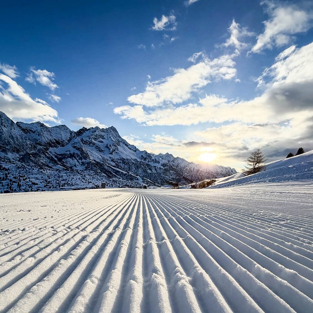
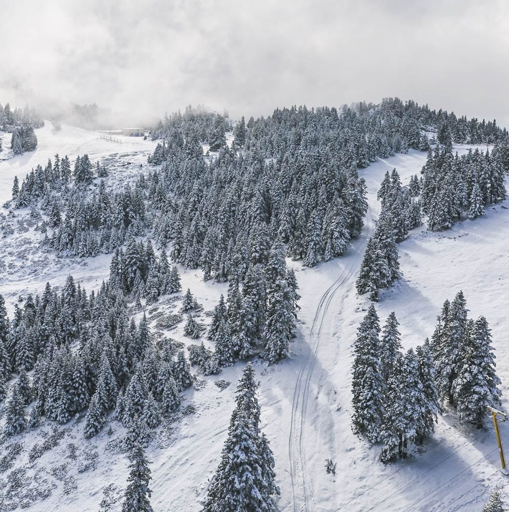
Europe has experienced calmer weather this week following the heavy snowfalls of the first half of last week. There have been some light snowfalls, but it has mostly been cold, clear weather. This has allowed hundreds of ski resorts to proceed with their plans to open, with some opening early. There is also a contest to open the most terrain quickly, involving four ski regions: Austria's Ischgl and Sölden, France's Tignes and Val d'Isère, Italy's Cervinia, and Switzerland's Samnaun and Zermatt. Each has already opened up to around 160 km (100 miles) of runs.
We've also seen the first ski areas begin their 25-26 seasons in several countries across the continent, including Czechia, Norway, Slovakia, and Spain.
Austria Snow Report and Ski Conditions 2025/26
Huge avalanche in Stubai Glacier
AUSTRIA REPORT | The number of open resorts in Austria exceeded 50 over the weekend as more resorts joined the tally, now operating between 25 and 26. Ischgl (25/35cm / 10/14”) kicked off its season over the weekend with more terrain open than anywhere else in the world, boasting over 150 km of pistes. In response, Sölden (0/55cm / 0/22”), which had been the world leader through most of November, expanded its offering to 110 km, joining the ‘100 km+ club’. Across the Austrian Alps, many resorts also saw significant increases in available terrain, driven by both the push to stay competitive and by recent snowfall that added 30–50 cm to base depths last week.
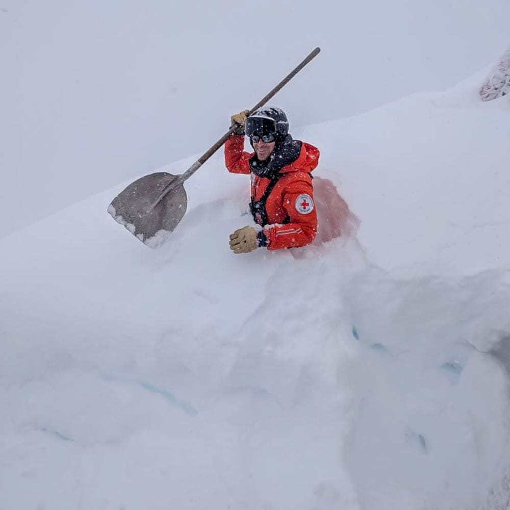
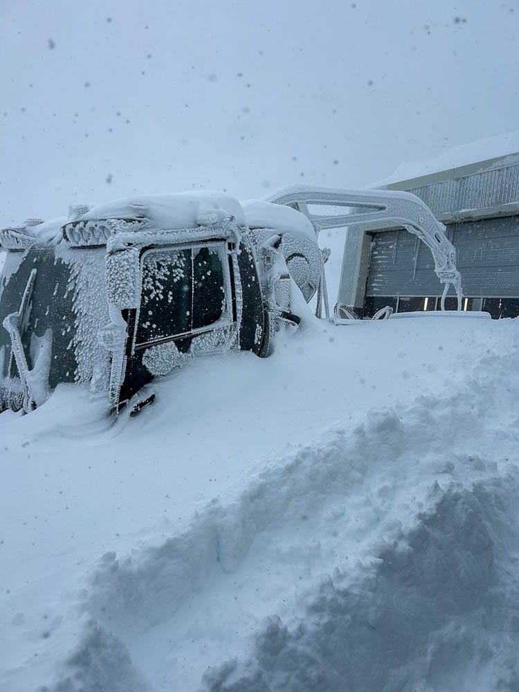
Eight skiers were caught in an avalanche while freeriding off-piste near the Stubai glacier; all survived, though three were buried, and the avalanche continued onto the groomed slopes. This week, the Austrian Alps have remained cold and mostly cloudy, with daytime highs around –1 to –6 °C and overnight lows dropping to –9 °C on higher slopes, which is ideal for snowmaking. Austria’s largest ski region, the Arlberg around Lech and St Anton, begins its season this Wednesday.
Austria Weather and Snow Forecast
AUSTRIA FORECAST | Snow showers are expected to sweep across the higher slopes midweek, intensifying on Thursday into Friday with heavier falls. Lower valleys may experience sleet or rain, but colder temperatures at altitude should preserve the early snowpack and provide good snowmaking conditions. By the weekend, clearer skies are forecast, bringing blue skies and fresh snow for skiing on higher terrain.
France Snow Report and Ski Conditions 2025/26
FRANCE REPORT | French resorts are still celebrating after the heavy snowfalls at the start of last week, which deposited up to 1.5m of snow on the highest slopes. The snowfall prompted several resorts, including Chamonix, Flaine, La Clusaz and Megève, to proceed with their plans to open over the weekend, some initially only last Saturday and Sunday. In total, around 20 areas opened, with some remaining open daily.
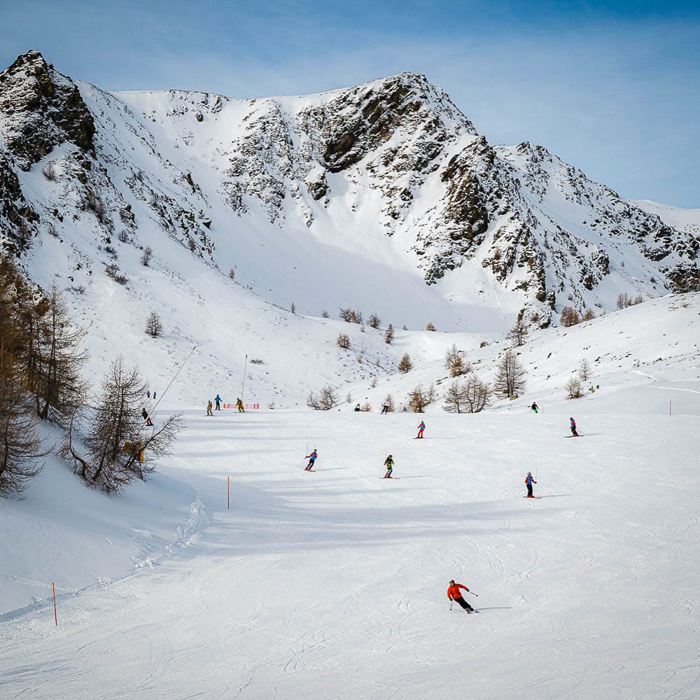
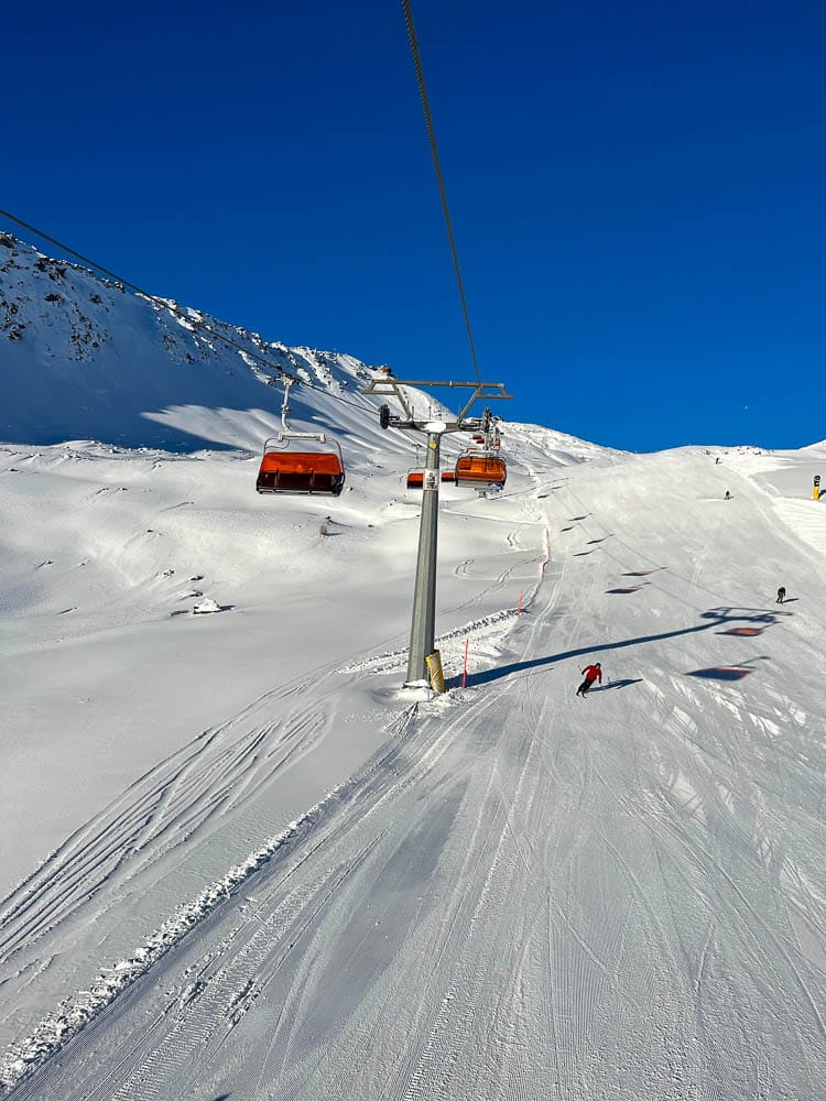
With Val d'Isère (40/155cm / 16/62”) joining Tignes, the resort has risen to the top five worldwide for open terrain, offering 150km of slopes—about half of its total. It also has the deepest snow. Les 2 Alpes (30/80cm / 12/32”) features the second most slopes open in the country, approximately 40km (25 miles). Following the heavy snowfall last week, the French Alps experienced mixed conditions: light snowfall and rain at lower elevations over the weekend, followed by clearer skies. Temperatures fluctuate between –6 °C overnight and 1 °C during the day. The high avalanche risk has now decreased to moderate in most areas.
France Weather and Snow Forecast
FRANCE FORECAST | It remains a typical early-season winter pattern as December begins in the French Alps, with snow showers forecast to spread across higher slopes midweek. These will intensify on Thursday and Friday with heavier falls, creating excellent coverage. Lower valleys might experience sleet or rain, but colder temperatures at higher elevations will help preserve the snowpack and benefit snowmakers. Clearer skies are expected by the weekend.
Italy Snow Report and Ski Conditions 2025/26
ITALY REPORT|The Italian Alps and Dolomites did not experience the heavy snowfalls seen in France and Switzerland last week, except in the north and west. Other areas received good accumulations of 20-40cm (8- 16 inches), though. As a result, while dozens of Italian resorts, including Courmayeur and Madonna di Campiglio, opened last weekend, others, such as Pila, faced delays.
This week, Italian mountains have remained mostly dry so far, but cloudy, with daytime highs around 4–7 °C and nights falling to –3 °c. Cervinia (15/160cm / 6/60 inches) has the most terrain open in the country, offering up to 160km (100 miles) of runs, shared with neighbouring Zermatt at the weekend. It also boasts the deepest snowpack in the country.
Italy Weather and Snow Forecast
ITALY FORECAST | The recent dry spell is likely to end as snow showers develop midweek, intensifying on Thursday into Friday with heavier falls on higher slopes. Lower Italian valleys may see sleet or rain, but colder temperatures at higher altitudes should preserve the early snowpack.
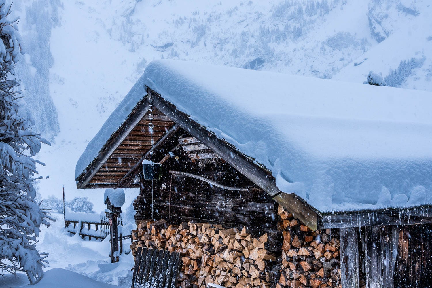
Switzerland Snow Report and Ski Conditions 2025/26
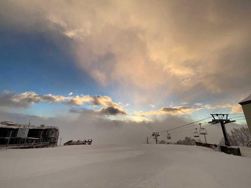
SWITZERLAND REPORT|Switzerland experienced significant snowfalls last week, with the full extent only becoming clear when we published last week's report. Glacier 3000 near Gstaad, for instance, reported receiving 1.5m (five feet) of snowfall by Thursday. It was in the far west of the country that the avalanche risk reached level 4 in the second half of last week.
Since then, the Swiss Alps have remained cold and unpredictable, with daytime highs around –2 to 3 °C at altitude and nights dropping to –7 °c. Samnaun (25/35cm / 10/14”) opened at the weekend with the most terrain available in the world, sharing approximately 160km (100 miles) of slopes with its Austrian neighbour, Ischgl. Meanwhile, Zermatt (15/160cm / 6/64") also increased its holdings, reaching 150km (93 miles) of runs, and marking the country's deepest base. Around 50 Swiss ski areas are now open for the season.
Glacier 3000 (left) and Davos (right) this week
Switzerland Weather and Snow Forecast
SWITZERLAND FORECAST| Snow showers are expected midweek, especially above 1,500 m, intensifying Thursday into Friday with heavier falls at altitude. Lower valleys may see sleet or rain, but higher up, temperatures remain cold enough to maintain snow cover. By Saturday, clearer skies and crisp air are forecast, with hopefully powder conditions to enjoy, particularly in the central and southern Alps.
Pyrenees Snow Report and Ski Conditions 2025/26
PYRENEES REPORT | The 25-26 season in the Pyrenees began at the weekend with resorts on the French and Spanish sides of Europe’s southern mountain range opening, as well as Andorra’s renowned freeride centre of Ordino Arcalis (50/100cm / 20/40”) area with a healthy base and about 30 km (19 miles) of slopes open from day one.
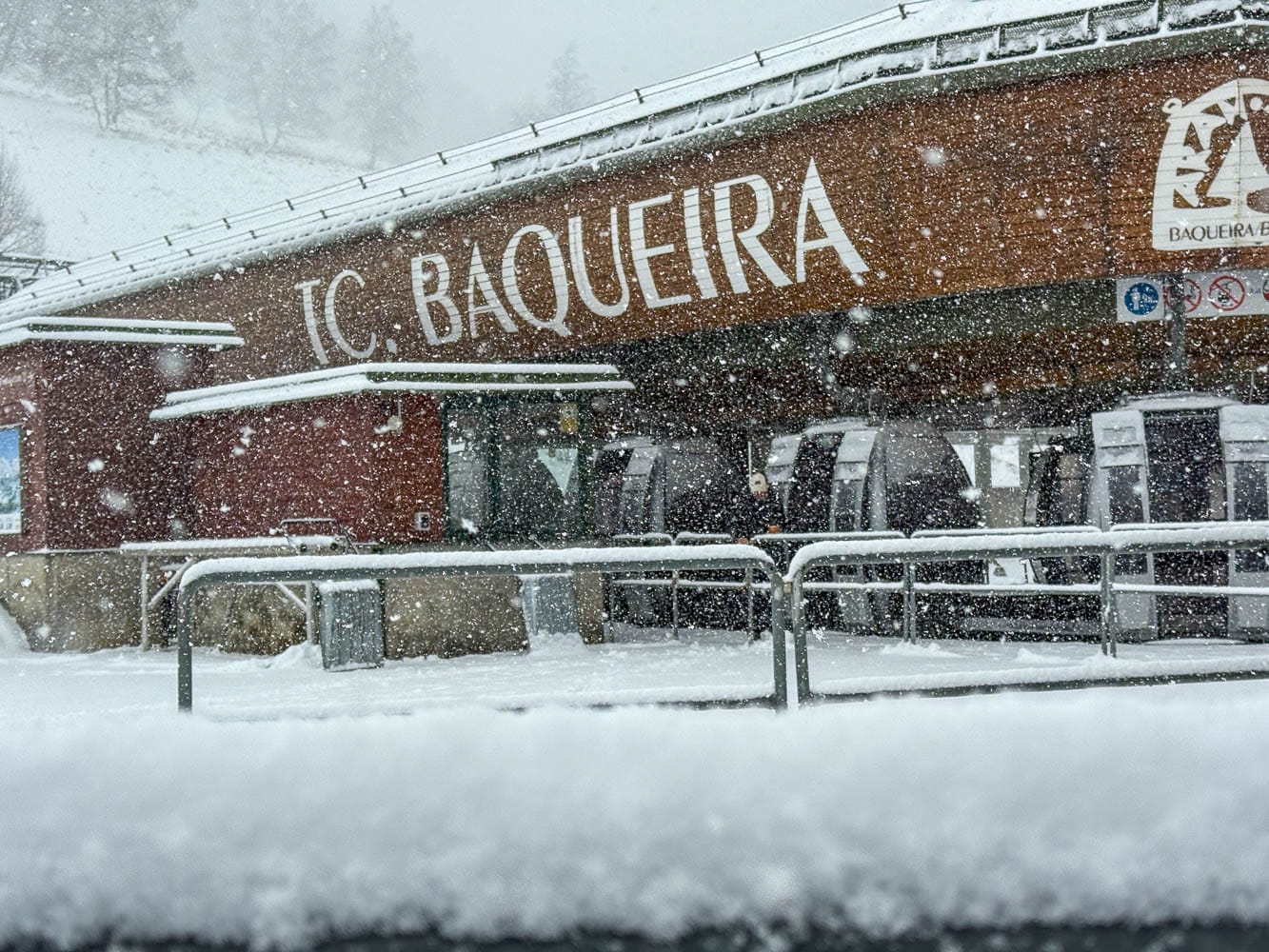
Snow depths are quite good, with Spain’s Baqueira Beret stating this is their best season start since 2019/20, with 40 slopes covering 54 km (34 miles) of runs across Baqueira, Beret, and Bonaigua, open from the first day. On the French side, Les Angles (40/60cm / 16/24") was the first to open, with approximately a quarter of its domain available from day one.
Pyrenees Weather and Snow Forecast
PYRENEES FORECAST | Unsettled conditions are expected to persist, with snow showers developing midweek and then intensifying on Thursday into Friday, bringing heavier falls across higher slopes, while lower valleys may experience sleet or rain. Temperatures remain cold enough for snowmaking, helping to preserve the thin early cover at altitude.
Scandinavia Snow Report and Ski Conditions 2025/26
SCANDINAVIA REPORT|Norway's season kicked off at the weekend with half a dozen ski areas opening, including one of the country's largest, Trysil (16/16cm / 6/6"). Initially, bases are thin, and only a few kilometres of terrain are available, not helped by recent weather, which has been relatively mild, hovering around 0–7 °C and limiting fresh snowfall.
Further north, however, Finnish Lapland resorts like Levi (25/25cm / 10/10”) and Ruka (5/25cm / 2/10”) have maintained cold conditions, with highs near freezing and lows dropping to –5 °C, bringing light snow. More leading resorts have now opened there, including Pyhä (30/35cm / 12/14”) and Ylläs (25/25cm / 10/10"), with additional terrain opening at all ski areas. Sweden also saw half a dozen ski areas open, and the remaining major resorts of Scandinavia, including Åre and Hemsedal, are expected to start their seasons this coming weekend.
Scandinavia Weather and Snow Forecast
SCANDINAVIA FORECAST | Scandinavia’s ski regions face typical early-season conditions as December begins and daylight hours quickly shorten. Norway and Sweden can expect frequent snow showers midweek on their mountains, with heavier falls Thursday into Friday across higher terrain. Ski slopes in Finland will experience lighter flurries and cold, crisp nights. Temperatures are expected to remain well below freezing, helping to preserve the thin snowpack.
Eastern Europe Snow Report and Ski Conditions 2025/26
EASTERN EUROPE REPORT| Eastern European mountain ranges have experienced unsettled conditions, with the Balkans remaining fairly mild, with daytime highs reaching up to +11 °c and some rain showers. Further north, however, the Tatras stay cold and mostly dry, and Slovakia's largest resort, Jasna, has begun its season. The Carpathians are covered in clouds, with occasional snow or drizzle.
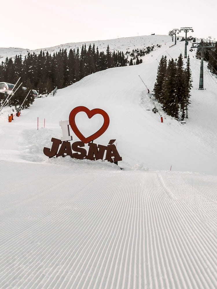
Temperatures have ranged from –4 °C in Slovakia’s Tatras to 10 °C in Romania’s Carpathians. Czechia’s Špindlerův Mlýn (40/70cm / 16/28”) has also opened for the season, with about 15% of its slopes initially available.
Eastern Europe Weather and Snow Forecast
EASTERN EUROPE FORECAST | Eastern Europe’s Tatras, Carpathians, and Balkan ranges will experience unsettled wintry weather for the rest of the week. Snow showers are expected to intensify from Thursday into Friday, with heavier falls in the higher Tatras and Carpathians, while the Balkans will see mixed precipitation at lower levels. Temperatures remain cold, but the weekend should bring clearer skies and crisp skiing conditions.
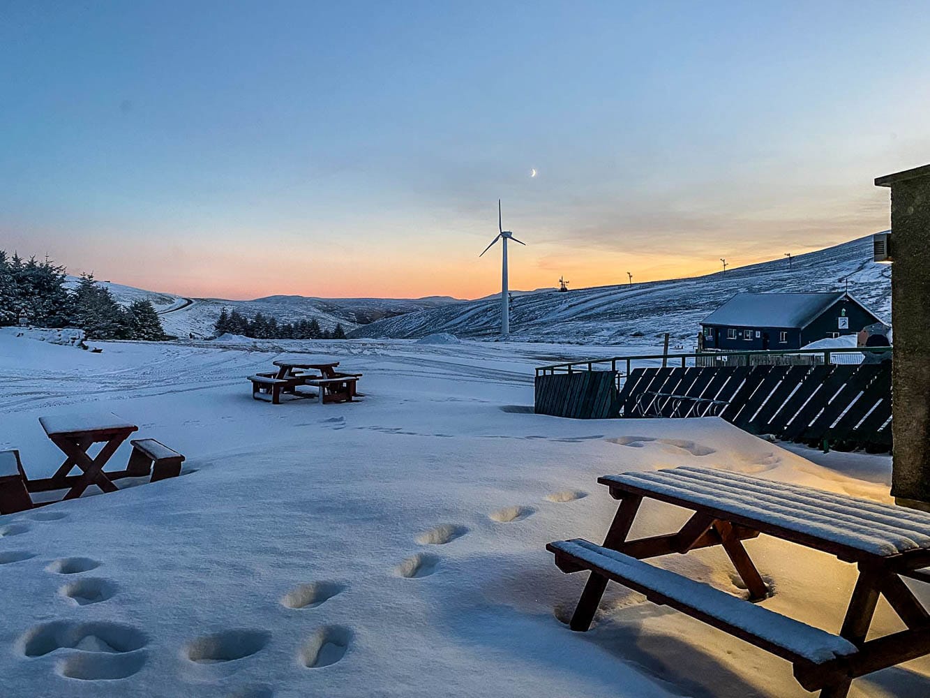
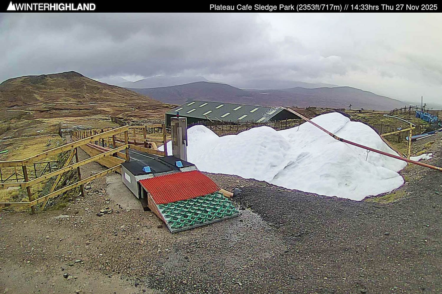
Scotland Snow Report and Ski Conditions 2025/26
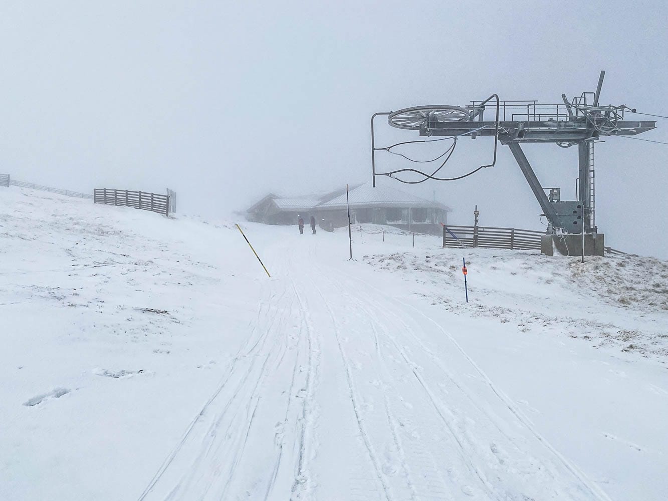
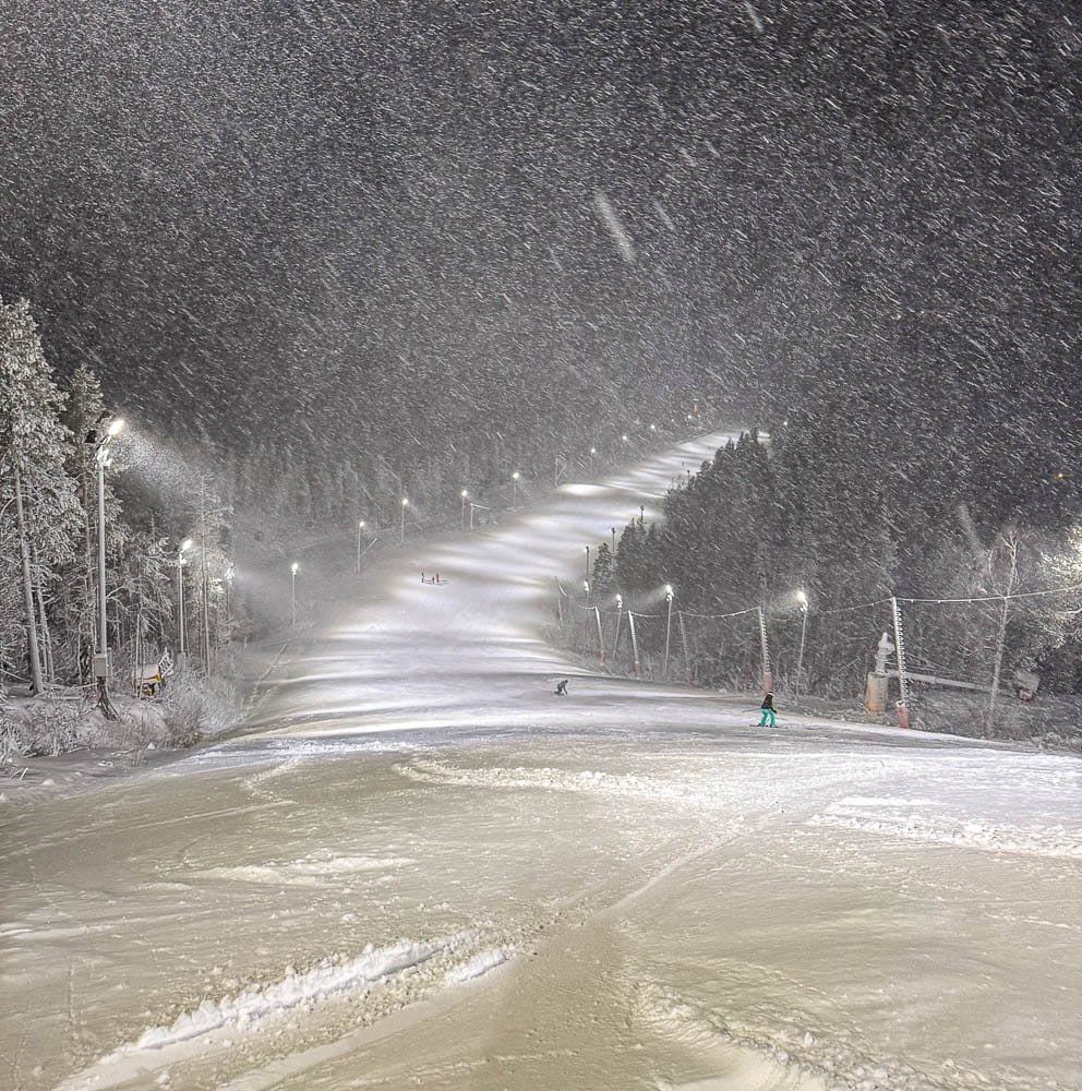
SCOTLAND REPORT|The Scottish weather reverted to its usual unpredictable state after about a week of sub-zero, snowy conditions in late November. Temperatures soared to +10 °c and wind speeds reached 100mph on Cairngorm, the centre that had opened early for the 25-26 season. Consequently, the slopes closed again.
By Sunday, though it was cold and snowing once more, the centre had reopened beginner terrain at the top of the slopes. Glencoe also reopened its access chair, and several centres posted images of snow being produced by their all-weather snowmaking equipment.
Scotland Weather and Snow Forecast
SCOTLAND FORECAST | It’s no surprise that ski areas in the Scottish Highlands will face unsettled wintry weather over the next few days. On the plus side, frequent snow showers will sweep across higher slopes, with heavier falls expected Thursday into Friday, hopefully creating fresh snow cover. However, lower levels may experience sleet or rain, but temperatures should remain cold enough on higher slopes to preserve the fresh snow for now.