Canada: Polar Vortex in the East, High Avalanche Risk in West
Western Canada is currently seeing some of the greatest avalanche danger in 10 or perhaps 20 years, while Quebec in the East is being impacted by a “Polar Vortex” which has led some ski areas to decide to shut down for the next 3-4 days as a forecasted temperature drop, potentially to as low as -60C, has left centres concerned about lift failure and fast frost bite danger.
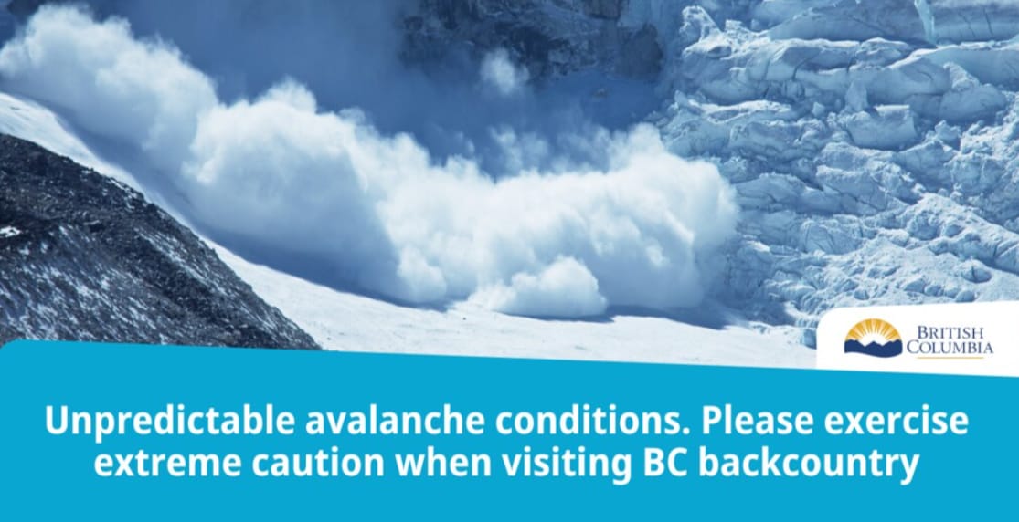
Over on the West Coast avalanche danger is at a 10, perhaps 20 year high in BC. Where there have already been five deaths in the back country this year and Avalanche Canada are warning skiers and boarders to keep away from steeper terrain. This year’s snowpack is being compared to 2003, which was one of the worst years for avalanche fatalities.
Avalanche Canada continues to monitor a deep, persistent slab avalanche problem for many regions. This is causing very dangerous and highly unpredictable avalanche conditions.
“This is a highly unusual and unpredictable snowpack. The complication with this snowpack setup is that the layers are deep enough that we are less likely to see clues of instability, like nearby avalanche activity, ‘whumpfing’ or cracking snow,” said Ryan Buhler, forecast supervisor, Avalanche Canada. “However, despite the lack of obvious clues, there is serious potential for large, human-triggered avalanches. We urge backcountry users to exercise caution and make conservative, low-consequence choices if they decide to travel in avalanche terrain. Backcountry users should always check the avalanche forecast at: https://www.avalanche.ca/en/map – carry a transceiver, probe and shovel, and be trained to use them.”
Avalanche Canada expects these conditions to last the remainder of the winter season in some areas.
In Quebec, Montreal expects to see its coldest temperatures since 2004, with lows close to -30C. Outside of the city most places in the province will fall into the -40s for wind chills, but a few locations will even briefly dip into the -50s, where frostbite can occur in mere minutes. The last wind chill as low as -38 was five years ago in January, 2018, and this looks more severe.
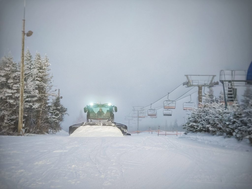
Mont-Sainte-Anne, north of Quebec City (pictured above), is forecast to see a wind chill near -48 early Saturday morning making a difficult and dangerous morning on the slopes.


