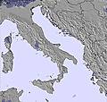
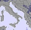
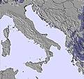
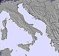
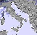
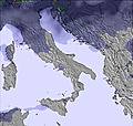
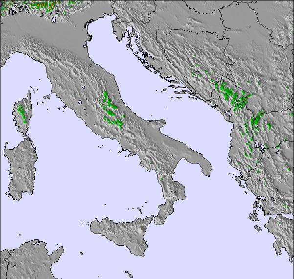
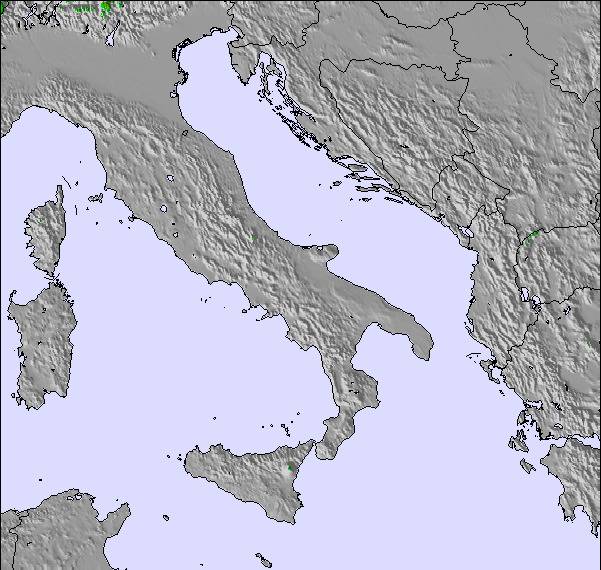
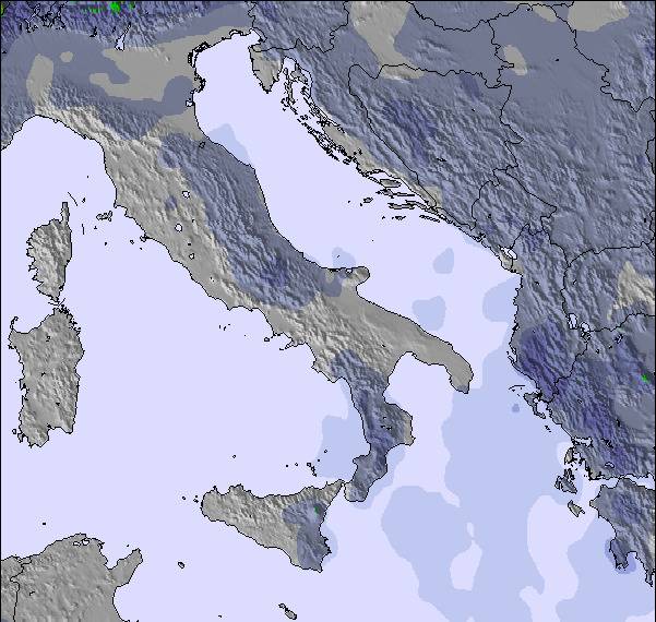
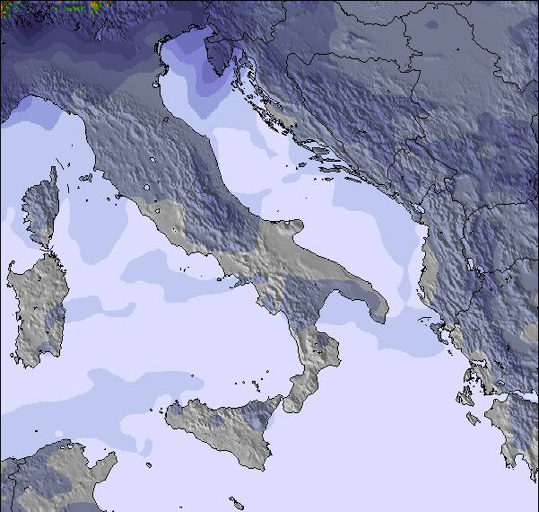
The above table gives the weather forecast for Mavrovo-Zare Lazarevski at the specific elevation of 1859 m. Our sophisticated weather models allow us to provide snow forecasts for the top, middle and bottom ski stations of Mavrovo-Zare Lazarevski. To access the weather forecasts for the other elevations, use the tab navigation above the table. For a wider view of the weather, check out the Weather Map of Rep. of N. Macedonia.
Click here to read further information on freezing levels and how we forecast our temperatures.
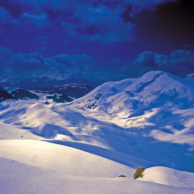
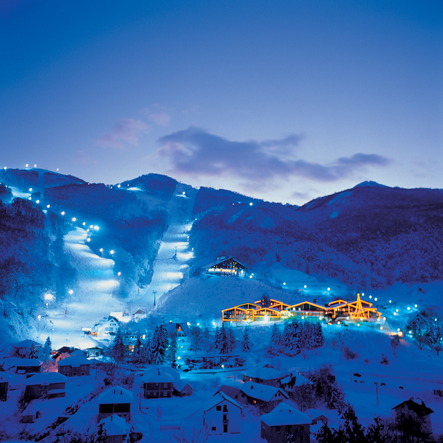
Although small, it's a very cosy and fun ski center. In good season offers perfect skiing. The lifts are short, but if you have good route planning you can connect the whole mountain and get some serious piste skiing.
Definitely not the mainstream, which makes this ski center have its own character.
The ski patrol MZSS at the moment works with the latest standards of international ski patroller association (FIPS) and the unit is consisted of heavy duty professionals with serious training to respond in every situation.
There are several bars up there that offer food and drinks and some party programs.
Al in all, small place with big character.
Although small, it's a very cosy and fun ski center. In good season offers perfect skiing. The lifts are short, but if you have good route planning you can connect the whole mountain and get some serious piste skiing.
Definitely not the mainstream, which makes this ski center have its own character.
The ski patrol MZSS at the moment works with the latest standards of international ski patroller association (FIPS) and the unit is consisted of heavy duty professionals with serious training to respond in every situation.
There are several bars up there that offer food and drinks and some party programs.
Free Snow-Forecast.com weather widget for your website
Embed the Mavrovo-Zare Lazarevski weather widget on your site for free. It provides a weekly snapshot of snow and rain conditions across all elevations. Follow the two quick steps to grab your custom code and paste it into your site. Choose between metric or imperial units. Click here to get the code.


 Nearest