Issued by Snow-Forecast.com at:7 am (local time) / 30 Jun 2026
Last 6 daysScroll left for last 6 daysNow
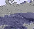
Next 3 days weather summary:
Heavy rain (total 53.0mm), heaviest during Wed afternoon. Very mild (max 19°C on Tue morning, min 7°C on Wed night). Wind will be generally light.
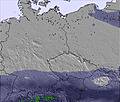
Days 4-6 weather summary:
Light rain (total 7.0mm), mostly falling on Fri morning. Very mild (max 10°C on Sat night, min 4°C on Fri night). Winds increasing (moderate winds from the WNW on Fri morning, strong winds from the WNW by Sun afternoon).
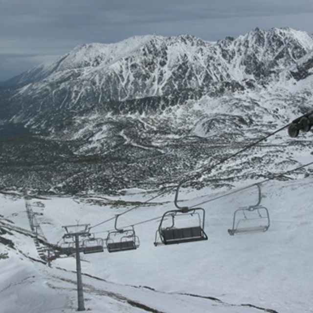
The above table gives the weather forecast for Zakopane at the specific elevation of 1960 m. Our sophisticated weather models allow us to provide snow forecasts for the top, middle and bottom ski stations of Zakopane. To access the weather forecasts for the other elevations, use the tab navigation above the table. For a wider view of the weather, check out the Weather Map of Poland.
Click here to read further information on freezing levels and how we forecast our temperatures.
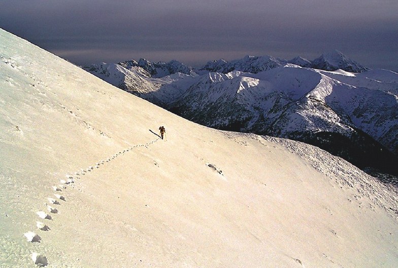
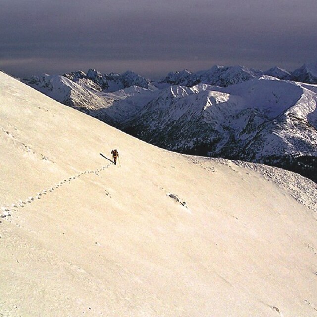
We have been to Zakopane three times for skiing. The first time was a good few years ago. But latterly, Christmas/New Year 14/15 and 15/16. Snow was a bit hit and miss. But with the snow machines running, there was enough for us. We are not experienced skiers, and don't need black runs. We are returning again. But this time will be in March 2017, when we hope there will have been more time for the snow to fall and settle. We will wait and see. :) But we love it there. We tend to go to Szymoszkowa, and at times the bottom ski lift can be busy. We hire our skis and boots on an hourly basis and there are several ski hire cabins very close to the ski lift; so very easy. We love it there. As some other posters have said, really it would be nice if the place stayed less touristy and unspoilt.
We have been to Zakopane three times for skiing. The first time was a good few years ago. But latterly, Christmas/New Year 14/15 and 15/16. Snow was a bit hit and miss. But with the snow machines running, there was enough for us. We are not experienced skiers, and don't need black runs. We are returning again. But this time will be in March 2017, when we hope there will have been more time for the snow to fall and settle. We will wait and see. :) But we love it there. We tend to go to Szymoszkowa, and at times the bottom ski lift can be busy. We hire our skis and boots on an hourly basis and there are several ski hire cabins very close to the ski lift; so very easy. We love it there. As some other posters have said, really it would be nice if the place stayed less touristy and unspoilt.
Free Snow-Forecast.com weather widget for your website
Embed the Zakopane weather widget on your site for free. It provides a weekly snapshot of snow and rain conditions across all elevations. Follow the two quick steps to grab your custom code and paste it into your site. Choose between metric or imperial units. Click here to get the code.


 Nearest