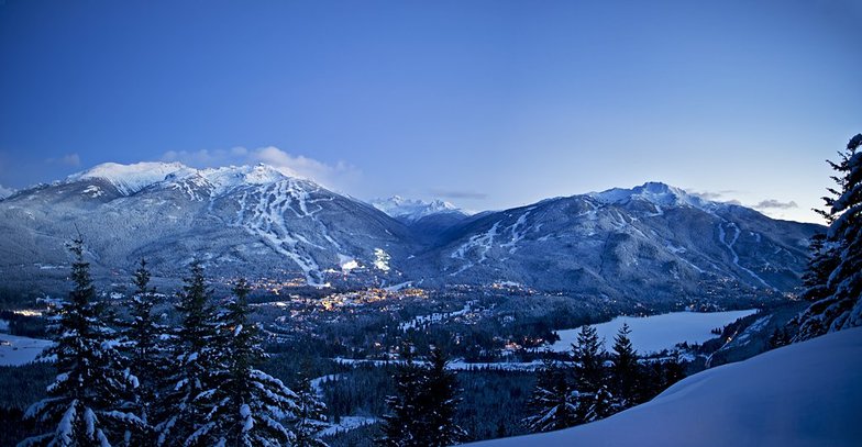
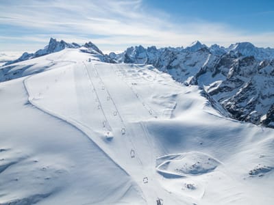
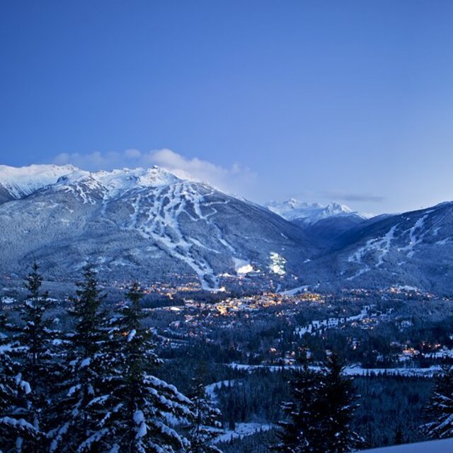
Whistler Blackcomb snow
Ski Canada - BC

Whistler Blackcomb Snow Forecast

Weather Forecast for Whistler Blackcomb at 1480 m
Issued: 9 pm  15 Nov 2025 (local time)

New snow in Whistler Blackcomb

2.2cm0.9in
Mon 17th (NGT)
The snow forecast for Whistler Blackcomb is: Moderate rain (total 13.0mm) heaviest on Sun afternoon, then becoming colder with a dusting of snow on Mon night. Freeze-thaw conditions (max 4°C on Sun morning, min -2°C on Tue afternoon). Wind will be generally light.

Whistler Blackcomb Weather (Next 3 days): The snow forecast for Whistler Blackcomb is: Moderate rain (total 13.0mm) heaviest on Sun afternoon, then becoming colder with a dusting of snow on Mon night. Freeze-thaw conditions (max 4°C on Sun morning, min -2°C on Tue afternoon). Wind will be generally light.

Whistler Blackcomb Weather (Days 4-6): Mostly dry. Freeze-thaw conditions (max 3°C on Thu morning, min -2°C on Tue night). Wind will be generally light.


Whistler Blackcomb Live Weather

ResortSnow DepthTemp. (°C)Wind (km/h)Weather
Top Lift: 0.9m
-1
15
part cloud
Middle Lift: 
1
5
part cloud
Bottom Lift: 
4
5
part cloud
6 Day Forecast
Issued: 9 pm 15 Nov 2025 / Updates in ::
Change Forecast Height
Choose Forecast
Last 6 daysScroll left for last 6 daysNow
Sunday
16
Monday
17
Tuesday
18
Wednesday
19
Thursday
20
Friday
21
night
AM
PM
night
AM
PM
night
AM
PM
night
AM
PM
night
AM
PM
night
AM
PM
night
part cloud
light rain
light rain
mod rain
light rain
light rain
light snow
light snow
light snow
light snow
cloud
cloud
cloud
part cloud
part cloud
part cloud
part cloud
light snow
light snow
some clouds
light rain
light rain
mod. rain
light rain
light rain
light snow
light snow
light snow
light snow
cloudy
cloudy
cloudy
some clouds
some clouds
some clouds
some clouds
light snow
light snow
 km/h
5
S
5
S
5
SSW
5
SSW
5
SSW
5
S
5
SSW
10
SSW
5
SSW
5
SSW
0
SSW
5
S
5
ESE
0
SSW
5
SW
5
SSW
10
SW
10
SSW
10
SSW
Snow map
 cm 
2
1
1
2
 mm 
1
3
6
1
1
1
max°C
2
4
3
3
3
3
2
-1
-2
-2
-1
-1
1
3
2
2
1
0
0
min°C
1
3
3
3
3
3
0
-1
-2
-2
-2
-1
-1
2
2
0
0
-1
-1
chill°C 
1
3
2
1
3
3
-3
-4
-5
-2
-2
-1
-1
2
0
-2
-3
-4
-4
Humid% 
94
92
99
99
98
97
99
99
98
94
87
89
65
54
65
57
74
90
99
Freezing level (m
1900
2050
2100
2000
2000
2000
1750
1350
1250
1150
1200
1300
1300
2100
2100
1850
1500
1450
1450
topliftbotliftSea lvl1000m2000m3000m4000m5000m
-2-1-1-1-1-2-3-6-6-4-3-3-2-1-1-2-3-4-55877876543532732645
Sunrise
7:26
7:28
7:28
7:31
7:31
7:33
Sunset
4:25
4:23
4:22
4:22
4:21
4:20

Snow Radar

Submit a report Eyeball Reporter

Latest snow reports near Whistler Blackcomb:

  • 0 km away from Whistler Blackcomb

    16 hours ago
    Eyeball reporter

    Mainly cloudy with isolated flurries. from Whistler Blackcomb

Whistler Blackcomb Snow Conditions

Top snow depth:85cm
Bottom snow depth:
Fresh snowfall depth:12cm
Last snowfall:14 Nov 2025
Snow AlertsCreate Alert
Other resorts in Canada - BC are reporting: powder (0) / good piste (0)

Find Your Trip

Snow History

Week 3 of November has on average:
0.6
Bluebird Powder days
Fresh snow, mostly sunny, light wind.
2.7
Powder days
Fresh snow, limited sun, any wind.
0.8
Bluebird days
Average snow, mostly sunny, light wind.


Snow-Forecast Partner Offers

Whistler Blackcomb Resort Webcam

Live Snow webcam for Whistler Blackcomb
Most recent Whistler Blackcomb webcam image
Webcam courtesy of WhistlerBlackcomb website
  • 2pm yesterdayWhistler Blackcomb webcam at 2pm yesterday
  • 2 days agoWhistler Blackcomb webcam 1 days ago
  • 3 days agoWhistler Blackcomb webcam 2 days ago
  • 4 days agoWhistler Blackcomb webcam 3 days ago
  • 5 days agoWhistler Blackcomb webcam 4 days ago