The above table gives the weather forecast for Villard-de-Lans at the specific elevation of 1610 m. Our sophisticated weather models allow us to provide snow forecasts for the top, middle and bottom ski stations of Villard-de-Lans. To access the weather forecasts for the other elevations, use the tab navigation above the table. For a wider view of the weather, check out the Weather Map of France.
Click here to read further information on freezing levels and how we forecast our temperatures.
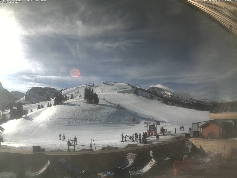
It should be noted that the town of Villard de Lans has looked very closely at the visitor infrastructure over the past couple of years.
There are now regular buses to and from Grenoble and they run into the night which they did not used to do. On our last visit in January there were more taxis running around than ever before and the tourist office is modern, helpful and informative.
Property is available for rent in the tourist office and even if you turn up on the off chance they will do everything they can to find accommodation.
More new lifts, snow cannon and fresh runs have made this an even better resort.
It is really beautiful and being situated in a National Park means that this is likely to remain the stunning location it is.
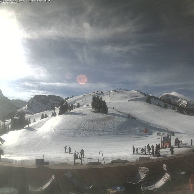
Free Snow-Forecast.com weather widget for your website
Embed the Villard-de-Lans weather widget on your site for free. It provides a weekly snapshot of snow and rain conditions across all elevations. Follow the two quick steps to grab your custom code and paste it into your site. Choose between metric or imperial units. Click here to get the code.


 Nearest