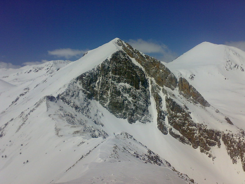


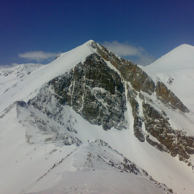
Portillo Storm Snowfall Total Passes 5m / 17 Feet
A snow storm that has now continued for nine days has taken Chilean ski resort Portillo to a snowfall total of 5.2 metres (17 feet) so far, with more snow forecast.

Next 3 days weather summary:Some drizzle, heaviest during Fri night. Very mild (max 19°C on Thu afternoon, min 14°C on Fri night). Winds increasing (calm on Wed afternoon, fresh winds from the WSW by Sat morning). | Days 4-6 weather summary:Light rain (total 4.0mm), mostly falling on Sat night. Very mild (max 18°C on Sat afternoon, min 12°C on Mon night). Wind will be generally light. | ||||||||||||||||
Wed 29 | Thursday 30 | Friday 31 | Saturday 1 | Sunday 2 | Monday 3 | ||||||||||||
PM | night | AM | PM | night | AM | PM | night | AM | PM | night | AM | PM | night | AM | PM | night | |
some clouds | clear | clear | some clouds | clear | cloudy | cloudy | t-storm risk | clear | some clouds | rain shwrs | clear | some clouds | clear | clear | some clouds | rain shwrs | |
km/h | |||||||||||||||||
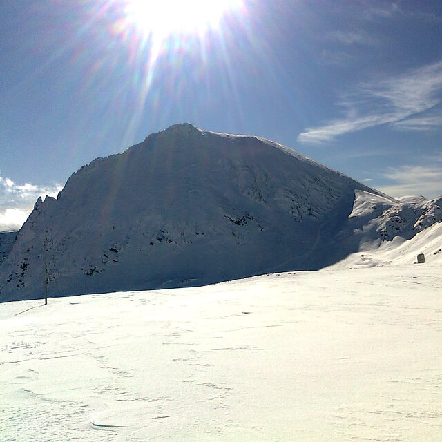
Snow map |  |  |  |  |  |  | |||||||||||
— | — | — | — | — | — | — | — | — | — | — | — | — | — | — | — | — | |
mm | — | — | — | — | — | — | — | 1 | — | — | 2 | — | — | — | — | — | 2 |
max °C | 17 | 16 | 18 | 19 | 17 | 18 | 19 | 16 | 17 | 18 | 15 | 17 | 18 | 16 | 16 | 16 | 15 |
min °C | 17 | 16 | 16 | 19 | 16 | 16 | 18 | 14 | 15 | 18 | 14 | 15 | 18 | 15 | 15 | 16 | 12 |
chill °C | 17 | 16 | 16 | 19 | 16 | 15 | 18 | 12 | 13 | 17 | 13 | 14 | 18 | 14 | 13 | 15 | 10 |
Humid % | 60 | 44 | 33 | 40 | 40 | 34 | 47 | 58 | 37 | 43 | 52 | 38 | 40 | 47 | 38 | 48 | 53 |
Freeze m | 4950 | 4900 | 4850 | 5000 | 4800 | 4800 | 4850 | 4800 | 4750 | 4900 | 4900 | 4900 | 5000 | 4800 | 4700 | 4600 | 4700 |
— | — | 6:39 | — | — | 6:41 | — | — | 6:41 | — | — | 6:43 | — | — | 6:43 | — | — | |
— | 9:14 | — | — | 9:13 | — | — | 9:12 | — | — | 9:10 | — | — | 9:09 | — | — | 9:08 | |
Go pro and carve into:
Avalanche information: European Avalanche Warning Services (EAWS)
Latest snow reports near Vallter 2000:
| Top snow depth: | — |
|---|---|
| Bottom snow depth: | — |
| Fresh snowfall depth: | — |
| Last snowfall: | 17 May 2026 |
| Snow Alerts | Create Alert |
0.0 | Bluebird Powder days Fresh snow, mostly sunny, light wind. |
|---|---|
0.0 | Powder days Fresh snow, limited sun, any wind. |
0.0 | Bluebird days Average snow, mostly sunny, light wind. |
The above table gives the weather forecast for Vallter 2000 at the specific elevation of 2536 m. Our sophisticated weather models allow us to provide snow forecasts for the top, middle and bottom ski stations of Vallter 2000. To access the weather forecasts for the other elevations, use the tab navigation above the table. For a wider view of the weather, check out the Weather Map of Spain.
Click here to read further information on freezing levels and how we forecast our temperatures.
Overall 3.4 Based on 6 votes and 2 reviews
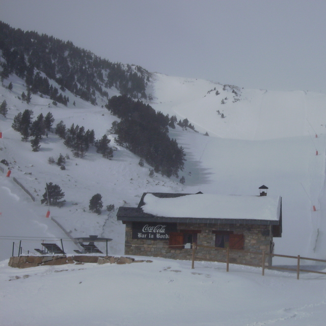
I have skied Vallter many times in the last 5 years as I have friends in Camprodon & Setcases. The drive up to the ski area will take about 40 mins from Camprodon (hardly ski in ski out) but the views down the valley as you reach the higher parts of the road, outweigh the length of the drive. You will need chains in the snowier times. The beginner slopes have quite a large right to left camber & in my opinion are difficult to learn on if you are a beginner. There are two ways to get to the top of the mountain, either by chair lift or by the much quicker drag lift. I for one like to keep my legs so I take the chair. Once at the top on a clear day the coast of the Cost Blanca can be seen, which is always a bonus when sipping your hot wine in the hut. For the best run down the mountain stick to the right. This will lead you down through a narrow wooded area & you will have to take an old 2 man chair (bit tight if you are the larger skier) back up to the main ski area & car parks. Miss the weekends completely as the Barcelonians arrive here in droves & the car parks are full by a very early time in the morning. Needless to say the queues are massive at the weekend. If you are here for a week then take Saturday as your day trip to Barcelona as they are all in the mountains. Resorts that are close & worth a one day visit are La Monina & Nuria. Currently not on Snow-Forcast, Nuria is interesting as you can only get there by funicular railway from Ribes De Freser but the ski area is very small an not good if you are a complete beginner.
Phill Robinson from United Kingdom writes:
I have skied Vallter many times in the last 5 years as I have friends in Camprodon & Setcases. The drive up to the ski area will take about 40 mins from Camprodon (hardly ski in ski out) but the views down the valley as you reach the higher parts of the road, outweigh the length of the drive. You will need chains in the snowier times.
The beginner slopes have quite a large right to left camber & in my opinion are difficult to learn on if you are a beginner. There are two ways to get to the top of the mountain, either by chair lift or by the much quicker drag lift. I for one like to keep my legs so I take the chair. Once at the top on a clear day the coast of the Cost Blanca can be seen, which is always a bonus when sipping your hot wine in the hut. For the best run down the mountain stick to the right. This will lead you down through a narrow wooded area & you will have to take an old 2 man chair (bit tight if you are the larger skier) back up to the main ski area & car parks.
Miss the weekends completely as the Barcelonians arrive here in droves & the car parks are full by a very early time in the morning. Needless to say the queues are massive at the weekend. If you are here for a week then take Saturday as your day trip to Barcelona as they are all in the mountains.
Resorts that are close & worth a one day visit are La Monina & Nuria. Currently not on Snow-Forcast, Nuria is interesting as you can only get there by funicular railway from Ribes De Freser but the ski area is very small an not good if you are a complete beginner.


 Nearest