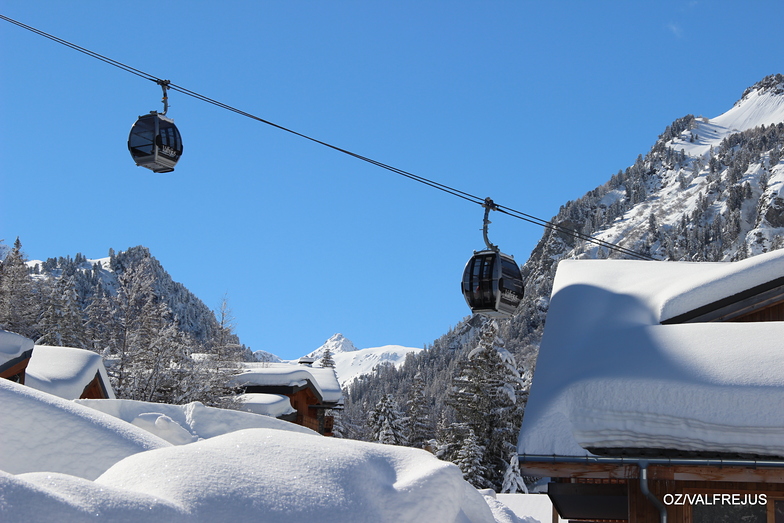
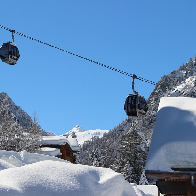
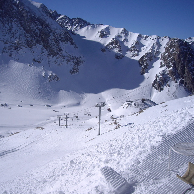
The above table gives the weather forecast for Valfrejus at the specific elevation of 1550 m. Our sophisticated weather models allow us to provide snow forecasts for the top, middle and bottom ski stations of Valfrejus. To access the weather forecasts for the other elevations, use the tab navigation above the table. For a wider view of the weather, check out the Weather Map of France.
Click here to read further information on freezing levels and how we forecast our temperatures.
This must be the most mismanaged resort in the whole of the French Alps. All the resorts nearby are making big efforts with their snow making and grooming of pistes to welcome their paying holiday makers but it seems that Valfrejus is blighted with a malady of incompetence and laziness. No snow making working, absolutely no sense whatsoever from the tourist office as they only employ kids to answer your questions and the lift office is only interested in taking your money for nothing. Get a grip Valfrejus or it will be rest in peace. We like the smaller and more familiar resorts but I and my family will not be back!!
A very disappointed John from London.
Free Snow-Forecast.com weather widget for your website
Embed the Valfrejus weather widget on your site for free. It provides a weekly snapshot of snow and rain conditions across all elevations. Follow the two quick steps to grab your custom code and paste it into your site. Choose between metric or imperial units. Click here to get the code.


 Nearest