Issued by Snow-Forecast.com at:7 am (local time) / 16 Jul 2026
Last 6 daysScroll left for last 6 daysNow
Next 3 days weather summary:
Mostly dry. Warm (max 20°C on Sat afternoon, min 13°C on Thu night). Winds increasing (light winds from the WSW on Thu night, strong winds from the SW by Sat afternoon).
Days 4-6 weather summary:
Mostly dry. Warm (max 24°C on Tue afternoon, min 18°C on Sun morning). Winds decreasing (fresh winds from the SW on Sun afternoon, light winds from the WSW by Mon night).
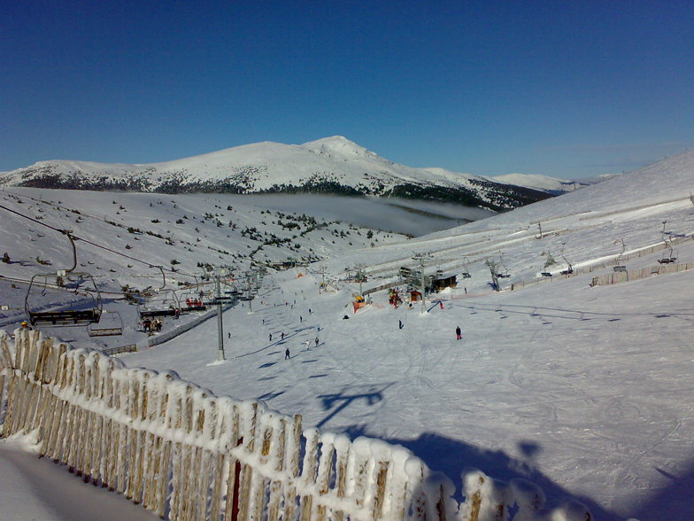
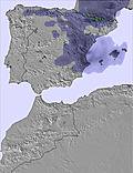
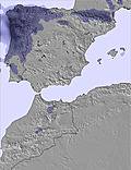
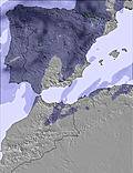
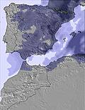
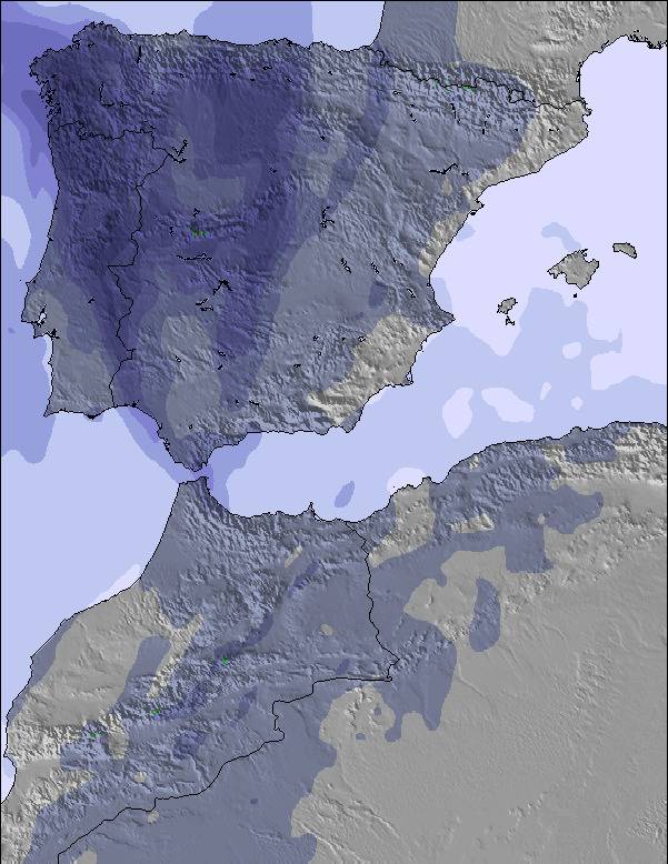
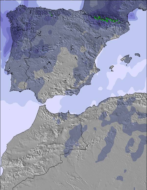
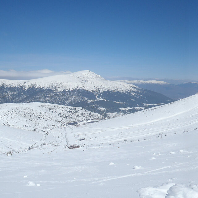
The above table gives the weather forecast for Valdesqui at the specific elevation of 2280 m. Our sophisticated weather models allow us to provide snow forecasts for the top, middle and bottom ski stations of Valdesqui. To access the weather forecasts for the other elevations, use the tab navigation above the table. For a wider view of the weather, check out the Weather Map of Spain.
Click here to read further information on freezing levels and how we forecast our temperatures.
En el parking hay muchísimos vehículos con los motores encendidos durante horas hasta que entran mientras alguien del grupo o de la familia hace cola. Si el parking se llena entre 7 y 7:30 y como pronto no se entra hasta las 9h , son dos horas de expulsión de contaminantes. He visto coches con las puertas abiertas y encendidos, los ocupantes se estaban vistiendo. Y las colas entre filas de coches. He tenido que pedir que me guardaran el sitio, porque me resultaba irrespirable. Desde hace muchos años, en muchos países, tener el motor encendido sin circular es motivo de una buena multa. Les ruego a los gerentes que solucionen este problema. No es normal que el aire sea irrespirable en plena montaña.
En el parking hay muchísimos vehículos con los motores encendidos durante horas hasta que entran mientras alguien del grupo o de la familia hace cola. Si el parking se llena entre 7 y 7:30 y como pronto no se entra hasta las 9h , son dos horas de expulsión de contaminantes. He visto coches con las puertas abiertas y encendidos, los ocupantes se estaban vistiendo. Y las colas entre filas de coches. He tenido que pedir que me guardaran el sitio, porque me resultaba irrespirable. Desde hace muchos años, en muchos países, tener el motor encendido sin circular es motivo de una buena multa. Les ruego a los gerentes que solucionen este problema. No es normal que el aire sea irrespirable en plena montaña.
Free Snow-Forecast.com weather widget for your website
Embed the Valdesqui weather widget on your site for free. It provides a weekly snapshot of snow and rain conditions across all elevations. Follow the two quick steps to grab your custom code and paste it into your site. Choose between metric or imperial units. Click here to get the code.


 Nearest