

Portillo Storm Snowfall Total Passes 5m / 17 Feet
A snow storm that has now continued for nine days has taken Chilean ski resort Portillo to a snowfall total of 5.2 metres (17 feet) so far, with more snow forecast.

Next 4 days weather summary:Mostly dry. Warm (max 28°C on Thu afternoon, min 16°C on Tue morning). Wind will be generally light. | Days 5-7 weather summary:Some drizzle, heaviest during Fri night. Warm (max 29°C on Fri afternoon, min 18°C on Sat night). Winds increasing (light winds from the W on Thu night, fresh winds from the SW by Sat afternoon). | |||||||||||||||
Tuesday 28 | Wednesday 29 | Thursday 30 | Friday 31 | Saturday 1 | ||||||||||||
night | AM | PM | night | AM | PM | night | AM | PM | night | AM | PM | night | AM | PM | night | |
clear | clear | clear | clear | clear | clear | clear | clear | clear | clear | clear | some clouds | light rain | cloudy | some clouds | some clouds | |
km/h | ||||||||||||||||
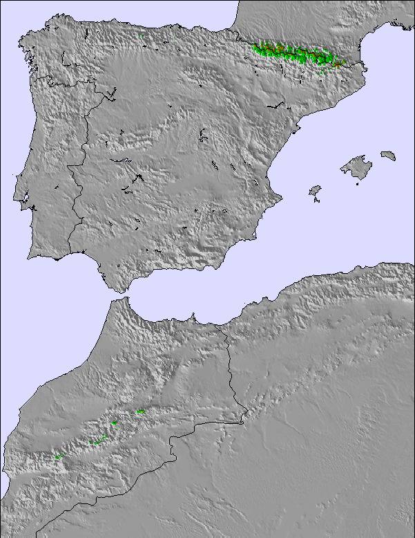
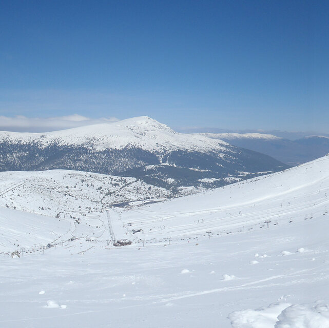
Snow map | 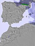 | 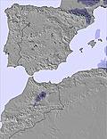 | 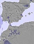 | 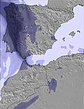 | 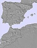 | 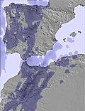 | ||||||||||
— | — | — | — | — | — | — | — | — | — | — | — | — | — | — | — | |
mm | — | — | — | — | — | — | — | — | — | — | — | — | 1 | — | — | — |
max °C | 22 | 21 | 26 | 26 | 22 | 27 | 26 | 23 | 28 | 27 | 25 | 29 | 27 | 24 | 28 | 26 |
min °C | 17 | 16 | 24 | 19 | 18 | 25 | 19 | 19 | 26 | 20 | 21 | 27 | 20 | 20 | 27 | 18 |
chill °C | 17 | 16 | 24 | 19 | 18 | 25 | 19 | 19 | 26 | 20 | 21 | 27 | 20 | 20 | 27 | 18 |
Humid % | 30 | 31 | 22 | 19 | 31 | 20 | 20 | 22 | 18 | 18 | 20 | 16 | 21 | 22 | 17 | 23 |
Freeze m | 4600 | 4650 | 4900 | 5100 | 4900 | 4900 | 4950 | 4900 | 5050 | 4900 | 4900 | 4950 | 4900 | 4850 | 4900 | 4900 |
— | 7:07 | — | — | 7:09 | — | — | 7:09 | — | — | 7:11 | — | — | 7:11 | — | — | |
— | — | — | 9:36 | — | — | 9:35 | — | — | 9:34 | — | — | 9:32 | — | — | 9:31 | |
Go pro and carve into:
Avalanche information: European Avalanche Warning Services (EAWS)
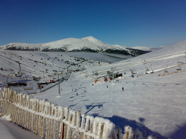
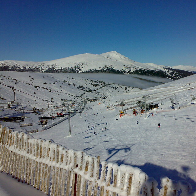
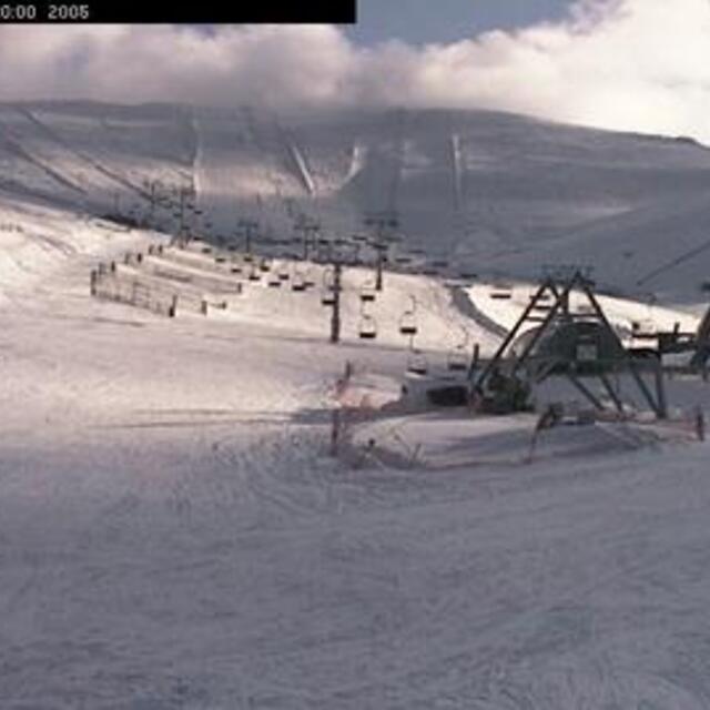
Latest snow reports near Valdesqui:
| Top snow depth: | — |
|---|---|
| Bottom snow depth: | — |
| Fresh snowfall depth: | — |
| Last snowfall: | 15 May 2026 |
| Snow Alerts | Create Alert |
0.0 | Bluebird Powder days Fresh snow, mostly sunny, light wind. |
|---|---|
0.0 | Powder days Fresh snow, limited sun, any wind. |
0.0 | Bluebird days Average snow, mostly sunny, light wind. |
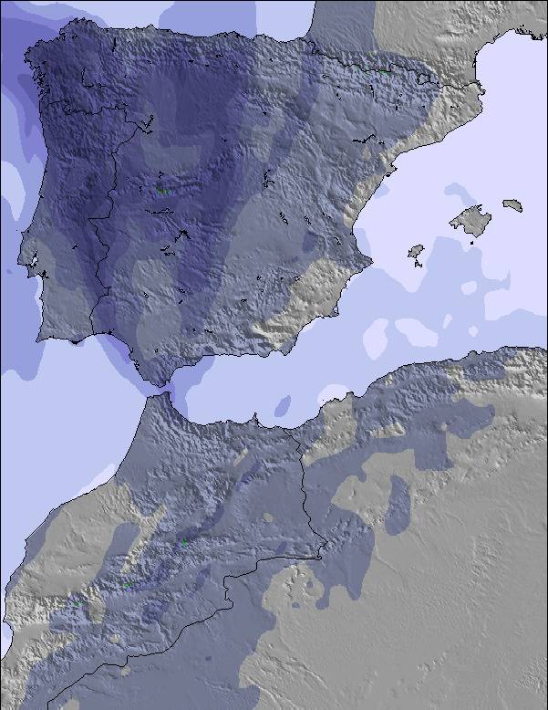
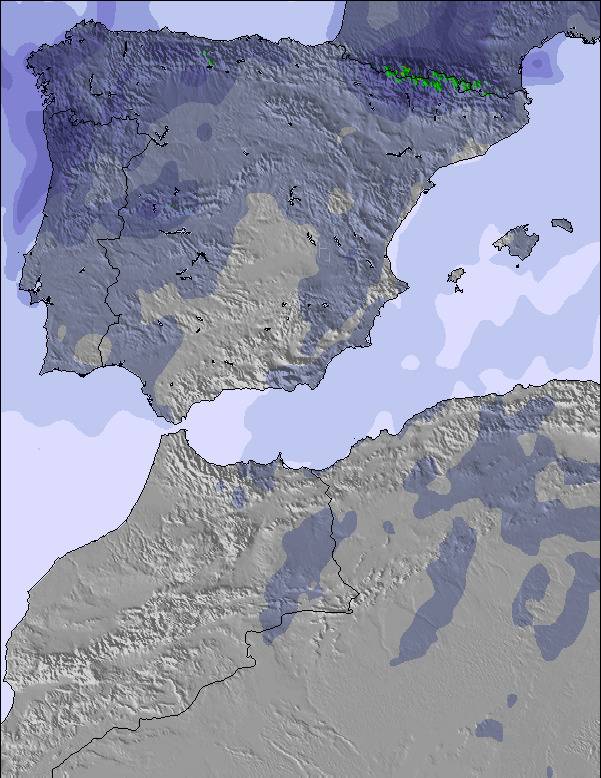
The above table gives the weather forecast for Valdesqui at the specific elevation of 1859 m. Our sophisticated weather models allow us to provide snow forecasts for the top, middle and bottom ski stations of Valdesqui. To access the weather forecasts for the other elevations, use the tab navigation above the table. For a wider view of the weather, check out the Weather Map of Spain.
Click here to read further information on freezing levels and how we forecast our temperatures.
Overall 2.1 Based on 42 votes and 13 reviews
Es la mejor estación de la zona centro porque tiene unas pistas anchas y homogéneas. En general muy bien cuidadas las pistas aprovechando la nieve todo lo posible. El personal de pista suele ser atento y hacerlo bien. Pero hay cosas muy malas: -precio alto aprovechando que están cerca de Madrid. -remontes lentisimos y no los mejoran! -pésima gestión de los alquileres. -la cafetería la cierran en el mismo minuto de la última subida, no esperan ni media hora, ni te dejan terminar la consumicion. -pésima informacion. -Ni 1 euro de descuento por familia numerosa.
Ramon Garcia from Spain writes:
Es la mejor estación de la zona centro porque tiene unas pistas anchas y homogéneas. En general muy bien cuidadas las pistas aprovechando la nieve todo lo posible. El personal de pista suele ser atento y hacerlo bien.
Pero hay cosas muy malas:
-precio alto aprovechando que están cerca de Madrid.
-remontes lentisimos y no los mejoran!
-pésima gestión de los alquileres.
-la cafetería la cierran en el mismo minuto de la última subida, no esperan ni media hora, ni te dejan terminar la consumicion.
-pésima informacion.
-Ni 1 euro de descuento por familia numerosa.


 Nearest