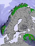
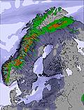
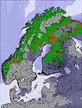
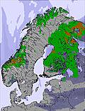
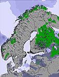
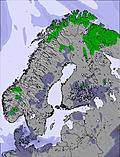
The above table gives the weather forecast for Tryvann at the specific elevation of 525 m. Our sophisticated weather models allow us to provide snow forecasts for the top, middle and bottom ski stations of Tryvann. To access the weather forecasts for the other elevations, use the tab navigation above the table. For a wider view of the weather, check out the Weather Map of Norway.
Click here to read further information on freezing levels and how we forecast our temperatures.
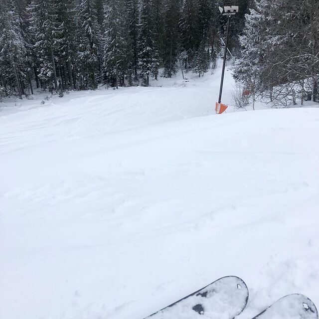
Tryvann is the main resort in the city of Oslo. It is a small resort with 10km of slopes. It is very easily accessible, since the subway goes from the city center up to the resort in just half an hour.
If you're going there for the runs, you will quickly be fed up, since it's small.
On the other hand, the resort has a good snowpark, for all levels and with 2 half pipes. You can spend hours in the park without ever getting fed up.
Conclusion: It's a good city resort, ideal for alpine ski/snowboard beginners and also for freestyle lovers.
Free Snow-Forecast.com weather widget for your website
Embed the Tryvann weather widget on your site for free. It provides a weekly snapshot of snow and rain conditions across all elevations. Follow the two quick steps to grab your custom code and paste it into your site. Choose between metric or imperial units. Click here to get the code.


 Nearest