Issued by Snow-Forecast.com at:7 am (local time) / 02 Aug 2026
Last 6 daysScroll left for last 6 daysNow
Next 3 days weather summary:
Moderate rain (total 17.0mm), heaviest on Mon night. Warm (max 27°C on Sun afternoon, min 13°C on Mon night). Winds decreasing (strong winds from the WSW on Mon night, calm by Tue night).
Days 4-6 weather summary:
Moderate rain (total 11.0mm), heaviest on Wed night. Warm (max 23°C on Wed afternoon, min 13°C on Wed night). Wind will be generally light.
The above table gives the weather forecast for Besse Super Besse at the specific elevation of 1350 m. Our sophisticated weather models allow us to provide snow forecasts for the top, middle and bottom ski stations of Besse Super Besse. To access the weather forecasts for the other elevations, use the tab navigation above the table. For a wider view of the weather, check out the Weather Map of France.
Click here to read further information on freezing levels and how we forecast our temperatures.
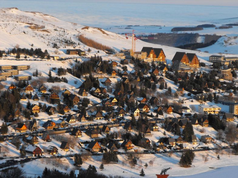
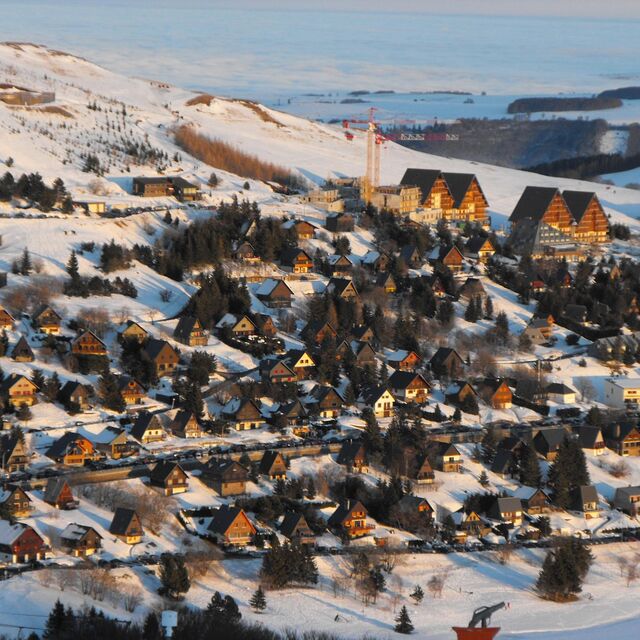
Due to my parents owning a chalet just down the road from Besse, I have skied at Super Besse (Besse Super Besse) for a number of years.
The resort has improved considerably over recent years with the introduction of snow cannons on most (if not all) pistes, a new chair lift and a new telecabine system opened at Christmas 2008 (this one runs even when it's windy).
Advantages of Besse Super Besse: lower than Alpine prices, access to Le Mont Dore (listed in the top 10 off-piste areas) when there is enough snow for the liason to be open, attractive medieval town of Besse near by.
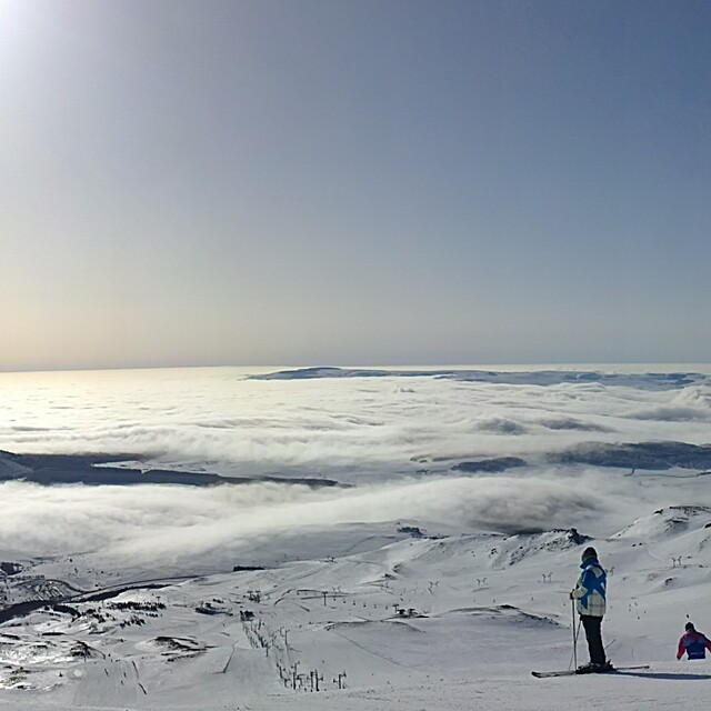
Disadvantages at Besse Super Besse: weather can often be very bleak, white-outs and high winds are common, Super Besse is not high enough to have a glacier so there isn't a snow guarantee.
Due to my parents owning a chalet just down the road from Besse, I have skied at Super Besse (Besse Super Besse) for a number of years.
The resort has improved considerably over recent years with the introduction of snow cannons on most (if not all) pistes, a new chair lift and a new telecabine system opened at Christmas 2008 (this one runs even when it's windy).
Advantages of Besse Super Besse: lower than Alpine prices, access to Le Mont Dore (listed in the top 10 off-piste areas) when there is enough snow for the liason to be open, attractive medieval town of Besse near by.
Disadvantages at Besse Super Besse: weather can often be very bleak, white-outs and high winds are common, Super Besse is not high enough to have a glacier so there isn't a snow guarantee.
Free Snow-Forecast.com weather widget for your website
Embed the Besse Super Besse weather widget on your site for free. It provides a weekly snapshot of snow and rain conditions across all elevations. Follow the two quick steps to grab your custom code and paste it into your site. Choose between metric or imperial units. Click here to get the code.


 Nearest