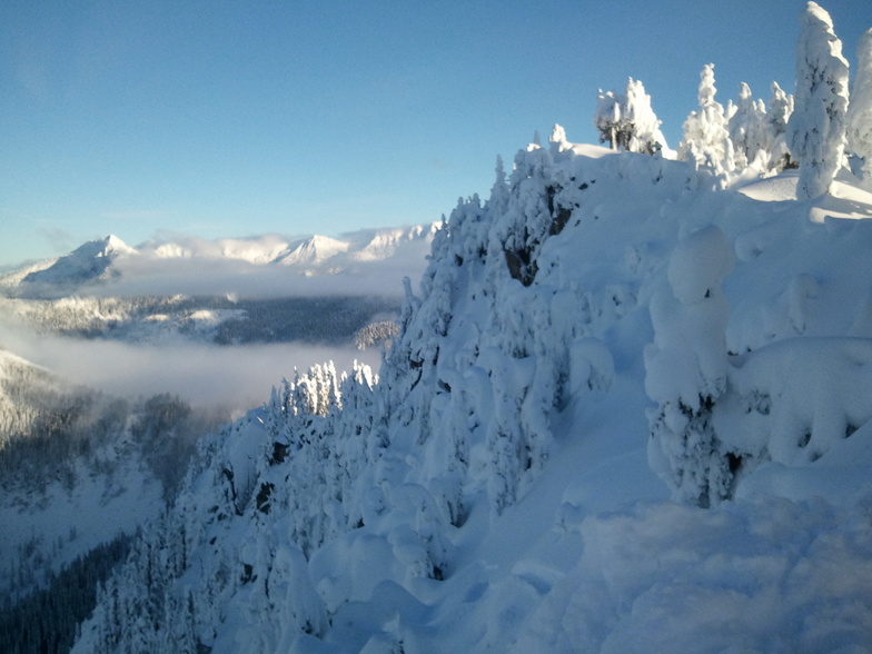
Weather Forecast for Stevens Pass at1506m altitude
Issued: 4 pm 10 Jun 2026 (local time)
Forecast update in hr min
Next snow in Stevens Pass: 2.4cm on Tue 23rd
View forecast
Stevens Passat 1506 m altitude
Issued by Snow-Forecast.com at:4 pm (local time) / 10 Jun 2026
Last 6 daysScroll left for last 6 daysNow
Next 3 days weather summary:
Light rain (total 2.0mm), mostly falling on Wed afternoon. Very mild (max 15°C on Sat morning, min 3°C on Wed afternoon). Wind will be generally light.
Days 4-6 weather summary:
Mostly dry. Warm (max 22°C on Mon afternoon, min 14°C on Tue morning). Wind will be generally light.
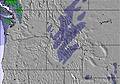
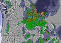
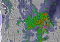
The above table gives the weather forecast for Stevens Pass at the specific elevation of 1506 m. Our sophisticated weather models allow us to provide snow forecasts for the top, middle and bottom ski stations of Stevens Pass. To access the weather forecasts for the other elevations, use the tab navigation above the table. For a wider view of the weather, check out the Weather Map of United States.
Click here to read further information on freezing levels and how we forecast our temperatures.
I've been skiing at Stevens as a passholder since the 2013-2014 season. That was a legendary low snow year, but Stevens stayed open, groomed heroically, and kept almost the entire resort open.
This year we have epic quantities of snow, but even during the peak holiday season, almost nothing is open: the backside is closed, Big Chief Mountain is closed, popular frontside trails were ungroomed, and only two intermediate lifts are open for night skiing (vs. five in all past seasons).
It's a total disaster -- Stevens is so understaffed this season that ski patrollers and park crews are running the few lifts that are open at all. Someone needs to fire the corporate management and start over.
Free Snow-Forecast.com weather widget for your website
Embed the Stevens Pass weather widget on your site for free. It provides a weekly snapshot of snow and rain conditions across all elevations. Follow the two quick steps to grab your custom code and paste it into your site. Choose between metric or imperial units. Click here to get the code.


 Nearest