A heavy fall of snow, heaviest during Tue afternoon. Freeze-thaw conditions (max 1°C on Tue morning, min -7°C on Sun night). Winds increasing (light winds from the WSW on Sun morning, strong winds from the W by Tue night).
Days 4-6 weather summary:
A heavy fall of snow, heaviest during Thu afternoon. Temperatures will be below freezing (max -5°C on Thu morning, min -9°C on Fri night). Wind will be generally light.
Light rain reported from Sion at 339 metres elevation only 2 kms NW of Veysonnaz-Printse but it is forecast cold enough for snow at the ski area from Veysonnaz-Printse
21km away from St-Luc
9 hours ago
Light rain reported from Sion Airport at 339 metres elevation only 2 kms NW of Veysonnaz-Printse but it is forecast cold enough for snow at the ski area from Veysonnaz-Printse
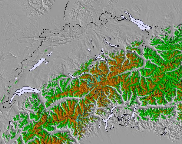
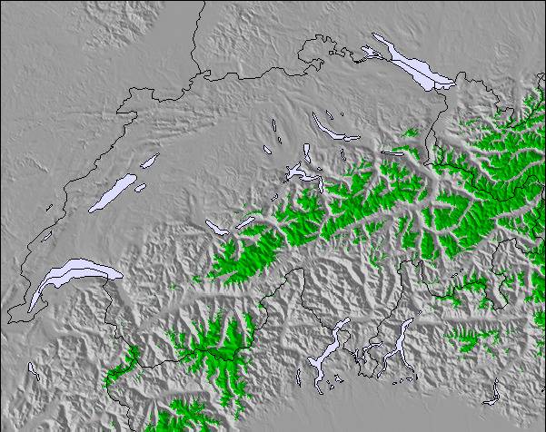
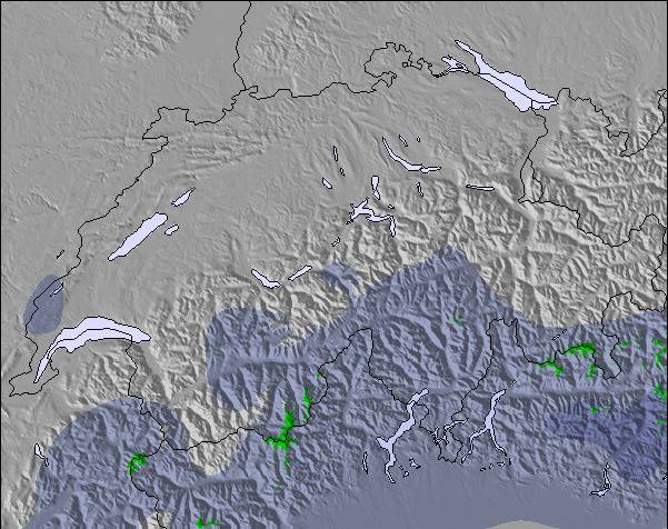
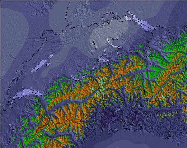
The above table gives the weather forecast for St-Luc at the specific elevation of 3026 m. Our sophisticated weather models allow us to provide snow forecasts for the top, middle and bottom ski stations of St-Luc. To access the weather forecasts for the other elevations, use the tab navigation above the table. For a wider view of the weather, check out the Weather Map of Switzerland.
Click here to read further information on freezing levels and how we forecast our temperatures.
I have recently returned from a short break at St Luc and can thoroughly recommend it. The scenery is fantastic and the village is traditional and picturesque - the perfect antidote to larger, purpose built resorts lacking in charm or personality.
The skiing in St Luc is good for a short break - for a longer break you might want to hire a car to visit other resorts in the valley that are covered by the lift pass. The pistes were wonderfully empty and lift queues did not exist. It was great to ski on empty pistes with stunning views of the Alps - again a contrast to larger resorts. The skiing is best suited to intermediates, although I am sure experts would enjoy plenty of fresh powder due to the lack of volume of people.
Transfer from Geneva airport is great - two hours on the train, followed by a short hop on the post bus.
Go if you like uncrowded pistes, great scenery, traditional alpine villages. Don't go if you like lots of apres-ski options and nightlife, large skiing areas and drag lifts.
I have recently returned from a short break at St Luc and can thoroughly recommend it. The scenery is fantastic and the village is traditional and picturesque - the perfect antidote to larger, purpose built resorts lacking in charm or personality.
The skiing in St Luc is good for a short break - for a longer break you might want to hire a car to visit other resorts in the valley that are covered by the lift pass. The pistes were wonderfully empty and lift queues did not exist. It was great to ski on empty pistes with stunning views of the Alps - again a contrast to larger resorts. The skiing is best suited to intermediates, although I am sure experts would enjoy plenty of fresh powder due to the lack of volume of people.
Transfer from Geneva airport is great - two hours on the train, followed by a short hop on the post bus.
Go if you like uncrowded pistes, great scenery, traditional alpine villages. Don't go if you like lots of apres-ski options and nightlife, large skiing areas and drag lifts.
Free Snow-Forecast.com weather widget for your website
Embed the St-Luc weather widget on your site for free. It provides a weekly snapshot of snow and rain conditions across all elevations. Follow the two quick steps to grab your custom code and paste it into your site. Choose between metric or imperial units. Click here to get the code.

 ski hire exclusive discount




 Snow
 Hourly & 16-day forecasts



 Sign up or Login to access
 Upload new photo

 Nearest