

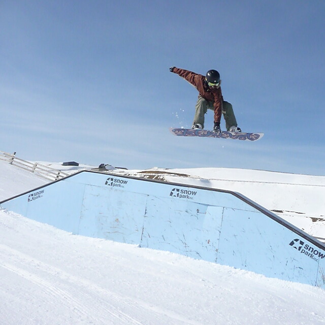
Portillo Re-Opens To Guests Arriving By Helicopter
Chile’s famous Portillo ski resort is reported to have re-opened to guests arriving by helicopter after being cut off by road for more than two weeks by over 6m/20 feet of snowfall.

Next 4 days weather summary:Mostly dry. Temperatures will be below freezing (max -1°C on Thu morning, min -9°C on Tue morning). Winds decreasing (strong winds from the SW on Mon night, calm by Tue night). | Days 5-7 weather summary:Mostly dry. Temperatures will be below freezing (max -1°C on Fri morning, min -2°C on Thu night). Wind will be generally light. | |||||||||||||||
Tuesday 4 | Wednesday 5 | Thursday 6 | Friday 7 | Saturday 8 | ||||||||||||
night | AM | PM | night | AM | PM | night | AM | PM | night | AM | PM | night | AM | PM | night | |
clear | some clouds | clear | clear | clear | cloudy | clear | clear | some clouds | some clouds | light snow | light snow | some clouds | some clouds | cloudy | some clouds | |
km/h | ||||||||||||||||
Snow map |  |  |  | 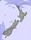 | 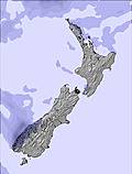 | 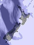 | ||||||||||
— | — | — | — | — | — | — | — | — | — | — | — | — | — | — | — | |
mm | — | — | — | — | — | — | — | — | — | — | — | — | — | — | — | — |
max °C | -5 | -9 | -7 | -3 | -2 | -2 | -2 | -1 | -1 | -2 | -1 | -2 | -1 | -1 | -1 | -1 |
min °C | -8 | -9 | -8 | -7 | -2 | -2 | -2 | -1 | -2 | -2 | -2 | -2 | -2 | -1 | -1 | -2 |
chill °C | -18 | -18 | -15 | -11 | -5 | -5 | -4 | -1 | -5 | -5 | -8 | -7 | -7 | -1 | -1 | -2 |
Humid % | 55 | 66 | 64 | 42 | 15 | 14 | 17 | 11 | 16 | 41 | 71 | 92 | 84 | 77 | 78 | 81 |
Freeze m | 500 | 350 | 650 | 0 | 0 | 1450 | 1100 | 1150 | 1550 | 1250 | 1500 | 1450 | 1550 | 1650 | 1650 | 1550 |
— | 7:56 | — | — | 7:56 | — | — | 7:54 | — | — | 7:52 | — | — | 7:52 | — | — | |
— | — | 5:42 | — | — | 5:43 | — | — | 5:44 | — | — | 5:45 | — | — | 5:45 | — | |
Go pro and carve into:
Avalanche information: New Zealand Avalanche Advisory
Latest snow reports near Snow Farm:
| Top snow depth: | — |
|---|---|
| Bottom snow depth: | — |
| Fresh snowfall depth: | — |
| Last snowfall: | 31 Jul 2026 |
| Snow Alerts | Create Alert |
0.9 | Bluebird Powder days Fresh snow, mostly sunny, light wind. |
|---|---|
1.0 | Powder days Fresh snow, limited sun, any wind. |
2.0 | Bluebird days Average snow, mostly sunny, light wind. |

The above table gives the weather forecast for Snow Farm at the specific elevation of 1800 m. Our sophisticated weather models allow us to provide snow forecasts for the top, middle and bottom ski stations of Snow Farm. To access the weather forecasts for the other elevations, use the tab navigation above the table. For a wider view of the weather, check out the Weather Map of New Zealand.
Click here to read further information on freezing levels and how we forecast our temperatures.
Resort name is also written as Snow Park/Snow Farm.
Overall 4.2 Based on 5 votes and 2 reviews
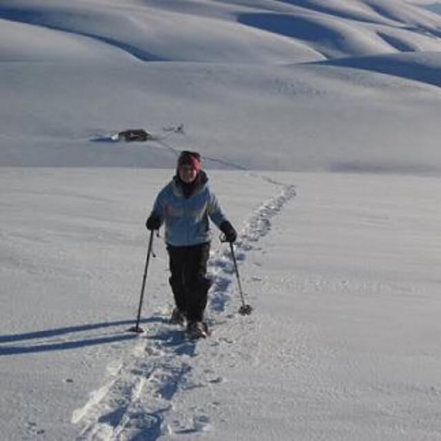
Snowfarm has great XC skiing and you can kite to the summits or go touring. The XC area is superbly groomed. Friendly place. Best XC in NZ. Family friendly. If you can skate XC fast you can fly on downhill. Light gear cheap hire. Always open. Great when you get sick of the crowds downhill
Kerb Groolgman from New Zealand writes:
Snowfarm has great XC skiing and you can kite to the summits or go touring. The XC area is superbly groomed. Friendly place. Best XC in NZ. Family friendly. If you can skate XC fast you can fly on downhill. Light gear cheap hire. Always open. Great when you get sick of the crowds downhill


 Nearest