


Portillo Storm Snowfall Total Passes 5m / 17 Feet
A snow storm that has now continued for nine days has taken Chilean ski resort Portillo to a snowfall total of 5.2 metres (17 feet) so far, with more snow forecast.

Next 3 days weather summary:Moderate rain (total 14.0mm), heaviest on Thu afternoon. Warm (max 24°C on Wed afternoon, min 15°C on Fri night). Wind will be generally light. | Days 4-6 weather summary:Light rain (total 6.0mm), mostly falling on Mon night. Warm (max 26°C on Mon afternoon, min 16°C on Sat morning). Winds increasing (calm on Sun morning, fresh winds from the SSW by Mon night). | |||||||||||||||||
Wednesday 29 | Thursday 30 | Friday 31 | Saturday 1 | Sunday 2 | Monday 3 | |||||||||||||
AM | PM | night | AM | PM | night | AM | PM | night | AM | PM | night | AM | PM | night | AM | PM | night | |
clear | some clouds | some clouds | light rain | light rain | light rain | cloudy | t-storm risk | light rain | cloudy | light rain | some clouds | clear | some clouds | some clouds | some clouds | some clouds | light rain | |
km/h | ||||||||||||||||||
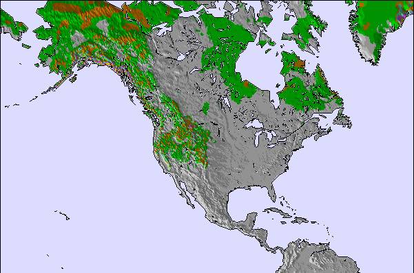
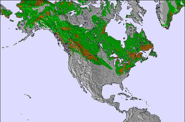
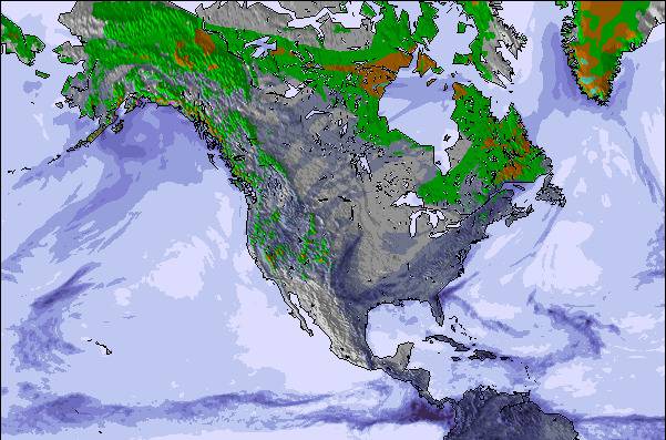
Snow map | 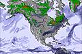 | 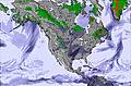 | 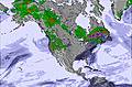 | 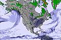 | 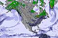 | 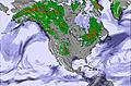 | ||||||||||||
— | — | — | — | — | — | — | — | — | — | — | — | — | — | — | — | — | — | |
mm | — | — | — | 1 | 5 | 3 | — | 4 | 1 | — | 1 | — | — | — | — | — | — | 5 |
max °C | 23 | 24 | 21 | 17 | 17 | 17 | 18 | 20 | 17 | 18 | 19 | 17 | 24 | 24 | 21 | 24 | 26 | 21 |
min °C | 19 | 23 | 16 | 17 | 17 | 17 | 18 | 19 | 15 | 16 | 18 | 16 | 19 | 24 | 18 | 20 | 25 | 20 |
chill °C | 19 | 23 | 16 | 17 | 16 | 17 | 18 | 19 | 14 | 16 | 18 | 16 | 19 | 24 | 18 | 20 | 25 | 20 |
Humid % | 74 | 54 | 82 | 85 | 97 | 99 | 98 | 89 | 97 | 92 | 79 | 93 | 78 | 57 | 80 | 76 | 45 | 90 |
Freeze m | 4000 | 4200 | 4100 | 3800 | 4050 | 4100 | 3900 | 3750 | 3850 | 3950 | 3850 | 4150 | 4100 | 4250 | 4350 | 4300 | 4650 | 4600 |
5:52 | — | — | 5:54 | — | — | 5:54 | — | — | 5:56 | — | — | 5:56 | — | — | 5:58 | — | — | |
— | 8:45 | — | — | 8:45 | — | — | 8:44 | — | — | 8:43 | — | — | 8:40 | — | — | 8:39 | — | |
Go pro and carve into:
Avalanche information: Avalanche Canada
Latest snow reports near Ski Wentworth:
| Top snow depth: | — |
|---|---|
| Bottom snow depth: | — |
| Fresh snowfall depth: | — |
| Last snowfall: | 3 May 2026 |
| Snow Alerts | Create Alert |
0.0 | Bluebird Powder days Fresh snow, mostly sunny, light wind. |
|---|---|
0.0 | Powder days Fresh snow, limited sun, any wind. |
0.0 | Bluebird days Average snow, mostly sunny, light wind. |
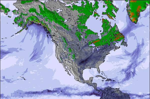
The above table gives the weather forecast for Ski Wentworth at the specific elevation of 183 m. Our sophisticated weather models allow us to provide snow forecasts for the top, middle and bottom ski stations of Ski Wentworth. To access the weather forecasts for the other elevations, use the tab navigation above the table. For a wider view of the weather, check out the Weather Map of Canada.
Click here to read further information on freezing levels and how we forecast our temperatures.
Overall 3.1 Based on 5 votes and 2 reviews
This is the most irresponsible business I've ever seen. On Saturday I arrived to pick the ski equipment I had pre-booked on their website only to be told after a 40 minute wait that they didn't have any poles left. I was confused and explained that I had pre-booked and already paid for them. No apology, explanation or attempt at resolution was offered; they just barked at me that I could take the skis without the poles, or go home. I've never seen such ignorant staff in a public service business in my whole life. I understand that workers can get overwhelmed on a busy day, but for goodness sake, you have to take responsibility for your reservation mistakes, and train your staff not to be so disrespectful!
Tom Adams from Canada writes:
This is the most irresponsible business I've ever seen. On Saturday I arrived to pick the ski equipment I had pre-booked on their website only to be told after a 40 minute wait that they didn't have any poles left. I was confused and explained that I had pre-booked and already paid for them. No apology, explanation or attempt at resolution was offered; they just barked at me that I could take the skis without the poles, or go home. I've never seen such ignorant staff in a public service business in my whole life. I understand that workers can get overwhelmed on a busy day, but for goodness sake, you have to take responsibility for your reservation mistakes, and train your staff not to be so disrespectful!

 Nearest