

Global Weekly Snow Roundup #320
Weekly Snow News for the world, updated 25 June 2026: Chile and New Zealand's seasons proper set to begin, Tignes and Sunshine reopen for summer skiing. weekend as Riksgransen ends its 2026 season.

Next 4 days weather summary:Mostly dry. Warm (max 21°C on Tue afternoon, min 12°C on Sun morning). Wind will be generally light. | Days 5-7 weather summary:Mostly dry. Warm (max 23°C on Fri afternoon, min 19°C on Wed night). Winds increasing (calm on Wed morning, fresh winds from the ENE by Thu night). | |||||||||||||||
Sunday 28 | Monday 29 | Tuesday 30 | Wednesday 1 | Thursday 2 | ||||||||||||
night | AM | PM | night | AM | PM | night | AM | PM | night | AM | PM | night | AM | PM | night | |
clear | some clouds | clear | clear | clear | clear | clear | clear | clear | clear | clear | clear | clear | clear | clear | clear | |
km/h | ||||||||||||||||
Snow map | 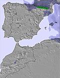 | 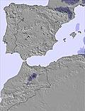 | 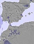 | 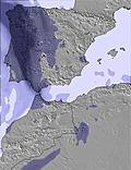 | 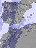 | 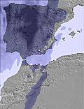 | ||||||||||
— | — | — | — | — | — | — | — | — | — | — | — | — | — | — | — | |
mm | — | — | — | — | — | — | — | — | — | — | — | — | — | — | — | — |
max °C | 14 | 14 | 15 | 16 | 17 | 19 | 19 | 19 | 21 | 21 | 20 | 22 | 22 | 19 | 22 | 22 |
min °C | 13 | 12 | 15 | 15 | 16 | 19 | 18 | 18 | 20 | 20 | 20 | 22 | 19 | 19 | 21 | 20 |
chill °C | 11 | 12 | 15 | 15 | 16 | 19 | 18 | 18 | 20 | 20 | 20 | 22 | 19 | 19 | 21 | 20 |
Humid % | 40 | 28 | 37 | 42 | 27 | 36 | 34 | 34 | 37 | 33 | 33 | 33 | 30 | 25 | 20 | 24 |
Freeze m | 4000 | 4000 | 4000 | 4350 | 4600 | 4400 | 4600 | 4550 | 4600 | 4800 | 4700 | 4800 | 4950 | 4950 | 5000 | 4950 |
— | 6:01 | — | — | 6:03 | — | — | 6:03 | — | — | 6:03 | — | — | 6:03 | — | — | |
— | — | 9:04 | — | — | 9:04 | — | — | 9:04 | — | — | 9:04 | — | — | 9:04 | — | |
Go pro and carve into:
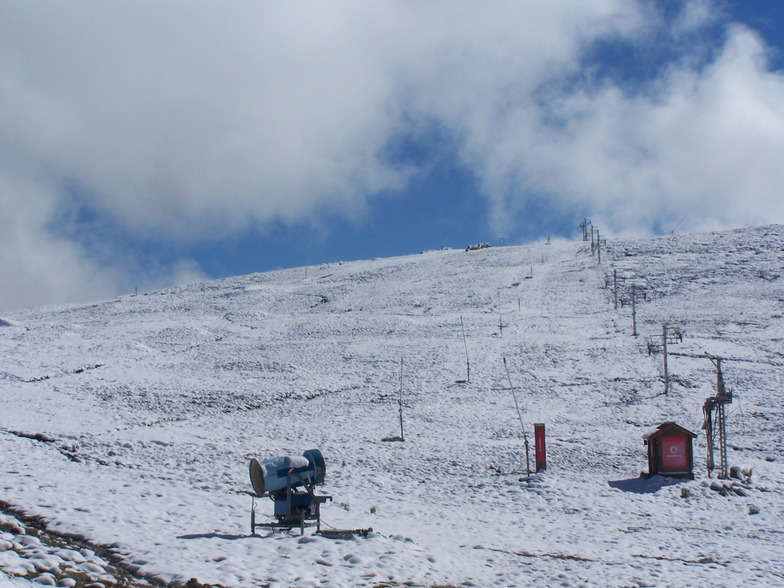
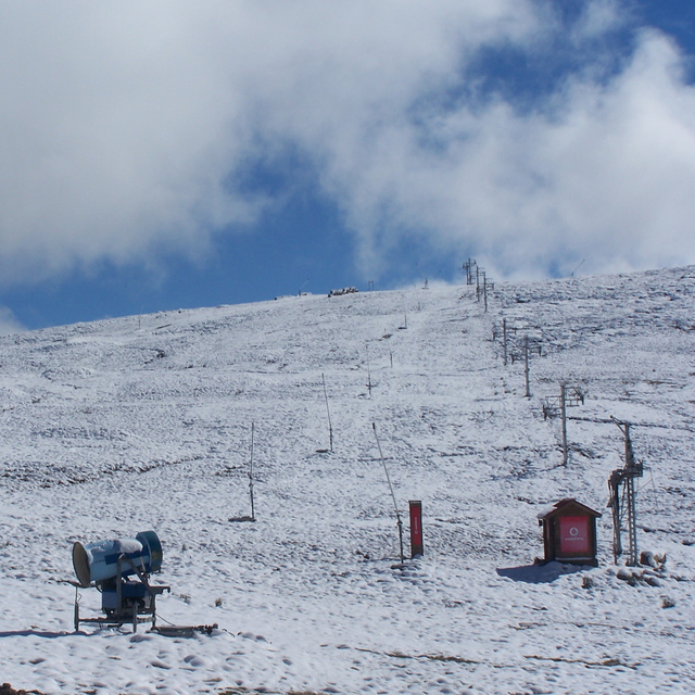
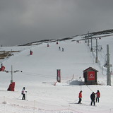
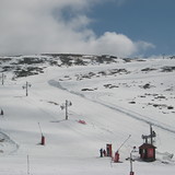
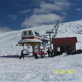
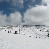
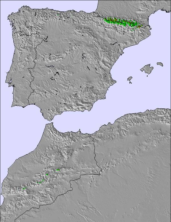
Latest snow reports near Serra da Estrela:
| Top snow depth: | — |
|---|---|
| Bottom snow depth: | — |
| Fresh snowfall depth: | — |
| Last snowfall: | 10 May 2026 |
| Snow Alerts | Create Alert |
0.0 | Bluebird Powder days Fresh snow, mostly sunny, light wind. |
|---|---|
0.0 | Powder days Fresh snow, limited sun, any wind. |
0.0 | Bluebird days Average snow, mostly sunny, light wind. |
The above table gives the weather forecast for Serra da Estrela at the specific elevation of 1984 m. Our sophisticated weather models allow us to provide snow forecasts for the top, middle and bottom ski stations of Serra da Estrela. To access the weather forecasts for the other elevations, use the tab navigation above the table. For a wider view of the weather, check out the Weather Map of Portugal.
Click here to read further information on freezing levels and how we forecast our temperatures.
Overall 2.7 Based on 116 votes and 123 reviews
Infelizmente a organizacao é muito má.... Problemas constantes no equipmento de neve Ma formacao do staff Condicoes de baixa qualidade Pea diferença do valor, é preferivel ir a Bejar.
Rogerio from Portugal writes:
Infelizmente a organizacao é muito má....
Problemas constantes no equipmento de neve
Ma formacao do staff
Condicoes de baixa qualidade
Pea diferença do valor, é preferivel ir a Bejar.
Read 122 more reviews of Serra da Estrela or submit your own


 Nearest