Mostly dry. Warm (max 29°C on Sun afternoon, min 20°C on Mon night). Winds increasing (calm on Sun afternoon, strong winds from the NNE by Tue morning).
Days 5-7 weather summary:
Mostly dry. Warm (max 28°C on Thu afternoon, min 19°C on Tue night). Winds decreasing (fresh winds from the NE on Tue night, calm by Thu afternoon).
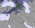
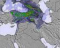
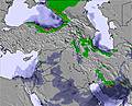
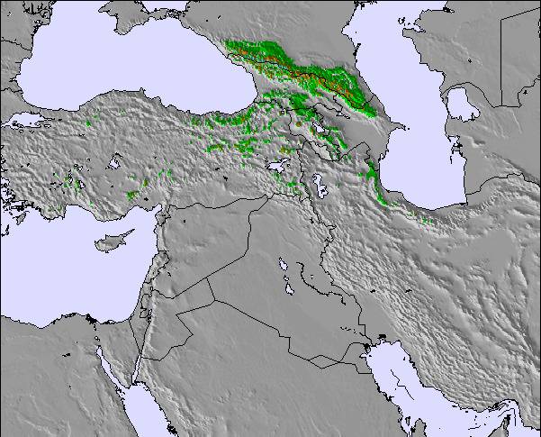
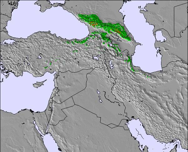
The above table gives the weather forecast for Sepidan Ski Resort at the specific elevation of 2514 m. Our sophisticated weather models allow us to provide snow forecasts for the top, middle and bottom ski stations of Sepidan Ski Resort. To access the weather forecasts for the other elevations, use the tab navigation above the table. For a wider view of the weather, check out the Weather Map of Iran (Islamic Republic of).
Click here to read further information on freezing levels and how we forecast our temperatures.
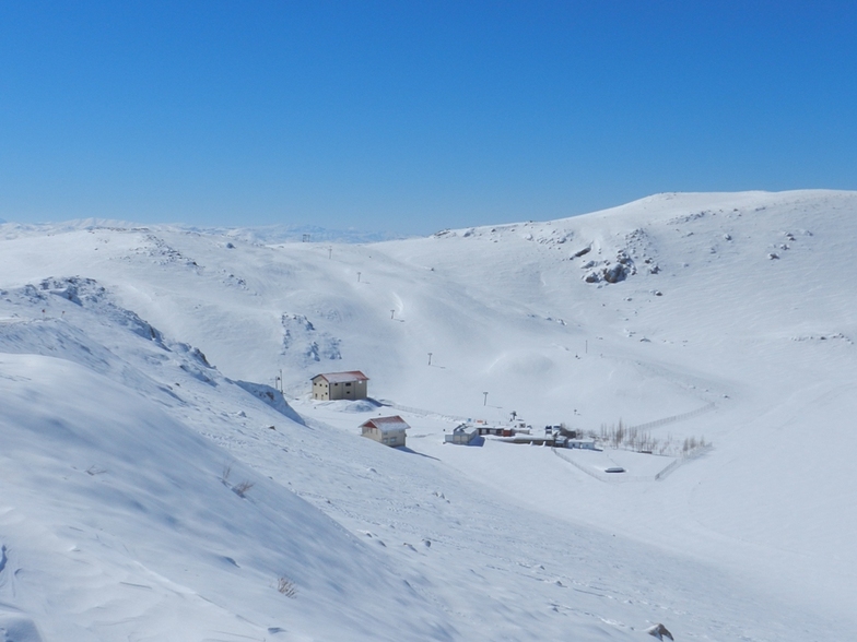
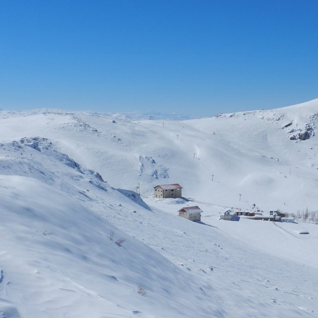
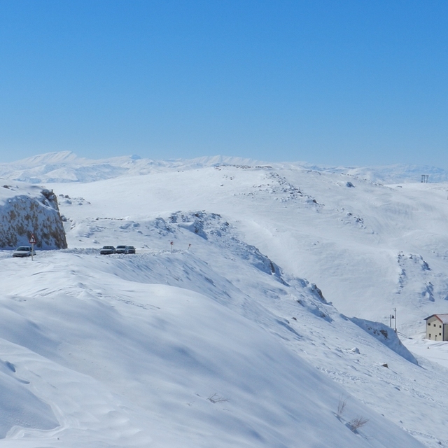
Last winter was the 2nd. season which I could ski in Zagross mountains in Fereydoon shahr, most western part of Isfahan. Koohrang, most western part of Bakhtiari. East Dena, between Yasuj and Kommer in Kohkilooye & Boyer Ahmad. and Sepidan in Fars province.
North-east suburb of Sepidan, there are 2 choices: Pooladkaf ski resort which is private and is going well his plans, and can be compared with the resorts in Alborz arround Tehran.
But, Sepidan, Dena east (Yasuj), Fereydoon shahr, and Koohrang governmental pists are all so primitive with one or two surface lifts and without snow machines, to compact the tracks!
Therefore, slopes grooming are done by skiers. and there won,t be any discussions about other poor side facilities... in one word, nothing !?
The Bakhtiari pist is a little bite better because of the city services in hand ! the city of Koohrang(chalgerd).
Some of the above pists are working half day in the afternoon, others week-ends on thursday & friday only !
But totally, it is more or less better than nothing ! based on Iranian old idiom saying "Half pair of shoes in dessert is booty"!!!...
Hope, the government pay attention more to sport facilities, specially to winter sports, and people,s health, to be able to save and compensate the insurance expences, and his popularity indeed, either by his own or by private investments...
Free Snow-Forecast.com weather widget for your website
Embed the Sepidan Ski Resort weather widget on your site for free. It provides a weekly snapshot of snow and rain conditions across all elevations. Follow the two quick steps to grab your custom code and paste it into your site. Choose between metric or imperial units. Click here to get the code.


 Nearest