

Banff Sunshine Village Opening for Summer Skiing
Banff Sunshine Village has confirmed it will reopen for a fortnight of summer skiing, from this weekend. The only ski area in Canada to be open into July.

Next 3 days weather summary:Heavy rain (total 22.0mm), heaviest during Sat morning. Warm (max 25°C on Fri afternoon, min 16°C on Fri night). Wind will be generally light. | Days 4-6 weather summary:Light rain (total 8.0mm), mostly falling on Tue night. Warm (max 24°C on Mon afternoon, min 17°C on Mon night). Wind will be generally light. | ||||||||||||||||
Fri 19 | Saturday 20 | Sunday 21 | Monday 22 | Tuesday 23 | Wednesday 24 | ||||||||||||
PM | night | AM | PM | night | AM | PM | night | AM | PM | night | AM | PM | night | AM | PM | night | |
t-storm risk | rain shwrs | t-storm risk | t-storm risk | rain shwrs | t-storm risk | clear | rain shwrs | t-storm risk | t-storm risk | rain shwrs | some clouds | some clouds | rain shwrs | clear | clear | clear | |
km/h | |||||||||||||||||
Snow map |  |  |  |  |  |  | |||||||||||
— | — | — | — | — | — | — | — | — | — | — | — | — | — | — | — | — | |
mm | 1 | 5 | 4 | 4 | 5 | 1 | — | 1 | 1 | 1 | 3 | — | — | 4 | — | — | — |
max °C | 25 | 22 | 21 | 23 | 19 | 21 | 24 | 22 | 21 | 24 | 20 | 21 | 23 | 19 | 22 | 24 | 22 |
min °C | 24 | 16 | 18 | 23 | 18 | 19 | 24 | 17 | 19 | 23 | 17 | 18 | 22 | 17 | 18 | 24 | 18 |
chill °C | 24 | 16 | 18 | 23 | 18 | 19 | 24 | 17 | 19 | 23 | 17 | 18 | 22 | 17 | 18 | 24 | 18 |
Humid % | 41 | 77 | 60 | 51 | 65 | 51 | 36 | 71 | 52 | 49 | 74 | 54 | 53 | 71 | 51 | 40 | 71 |
Freeze m | 4350 | 4300 | 4200 | 4250 | 4150 | 4100 | 4250 | 4200 | 4050 | 4150 | 4200 | 4100 | 4200 | 4050 | 4250 | 4350 | 4350 |
— | — | 5:07 | — | — | 5:07 | — | — | 5:07 | — | — | 5:07 | — | — | 5:07 | — | — | |
— | 9:05 | — | — | 9:05 | — | — | 9:05 | — | — | 9:05 | — | — | 9:05 | — | — | 9:06 | |
Go pro and carve into:
Avalanche information: European Avalanche Warning Services (EAWS)
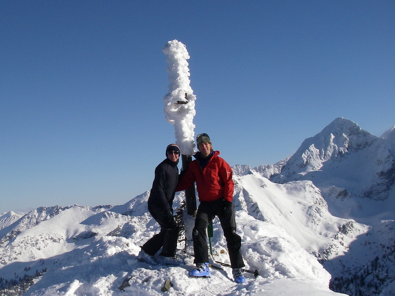
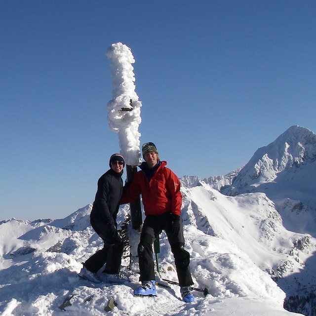
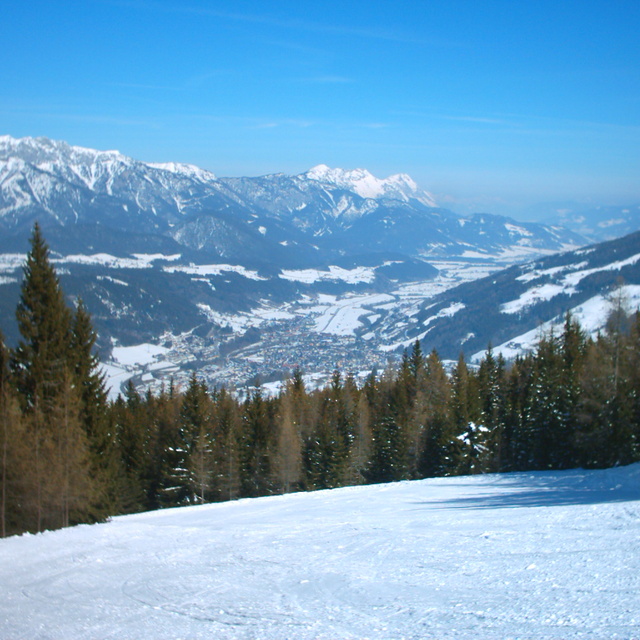
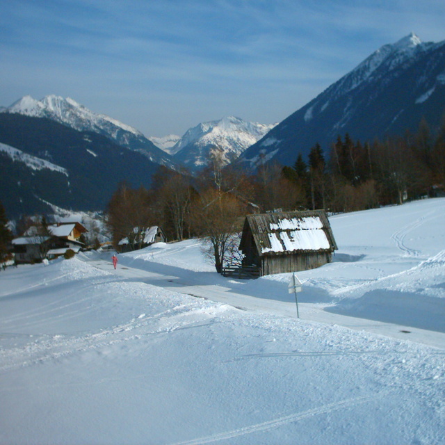
Latest snow reports near Schladming:
| Top snow depth: | 0 cm |
|---|---|
| Bottom snow depth: | 0 cm |
| Fresh snowfall depth: | — |
| Last snowfall: | 16 May 2026 |
| Snow Alerts | Create Alert |
0.0 | Bluebird Powder days Fresh snow, mostly sunny, light wind. |
|---|---|
0.0 | Powder days Fresh snow, limited sun, any wind. |
0.0 | Bluebird days Average snow, mostly sunny, light wind. |
The above table gives the weather forecast for Schladming at the specific elevation of 1314 m. Our sophisticated weather models allow us to provide snow forecasts for the top, middle and bottom ski stations of Schladming. To access the weather forecasts for the other elevations, use the tab navigation above the table. For a wider view of the weather, check out the Weather Map of Austria.
Click here to read further information on freezing levels and how we forecast our temperatures.
Overall 4.6 Based on 32 votes and 38 reviews
Recently went to Schladming for the Special Olympics World Winter Games. It was the best experience. Thank you everyone in Schladming you made us so welcome.The town gave everyone the warmest welcome, the ski races were expertly organised, receptions and medal presentations delightful. The town is a beautiful setting in the valley surrounded by mountain peaks. Many excellent restaurants offering delicious food; Hotel Mitterhofer was excellent. Was late in the season (mid-late March) and snow suffering from warmish weather, but slopes groomed and maintained well. Thanks Schladming
Anne Cherny from Australia writes:
Recently went to Schladming for the Special Olympics World Winter Games. It was the best experience. Thank you everyone in Schladming you made us so welcome.The town gave everyone the warmest welcome, the ski races were expertly organised, receptions and medal presentations delightful. The town is a beautiful setting in the valley surrounded by mountain peaks.
Many excellent restaurants offering delicious food; Hotel Mitterhofer was excellent. Was late in the season (mid-late March) and snow suffering from warmish weather, but slopes groomed and maintained well. Thanks Schladming


 Nearest