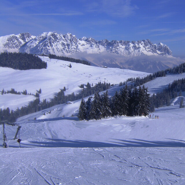
The above table gives the weather forecast for Scheffau (SkiWelt) at the specific elevation of 1288 m. Our sophisticated weather models allow us to provide snow forecasts for the top, middle and bottom ski stations of Scheffau (SkiWelt). To access the weather forecasts for the other elevations, use the tab navigation above the table. For a wider view of the weather, check out the Weather Map of Austria.
Click here to read further information on freezing levels and how we forecast our temperatures.
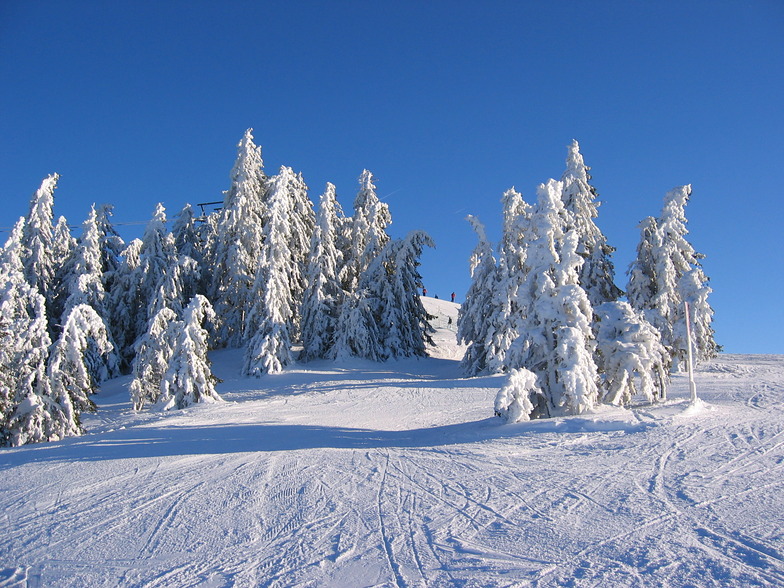
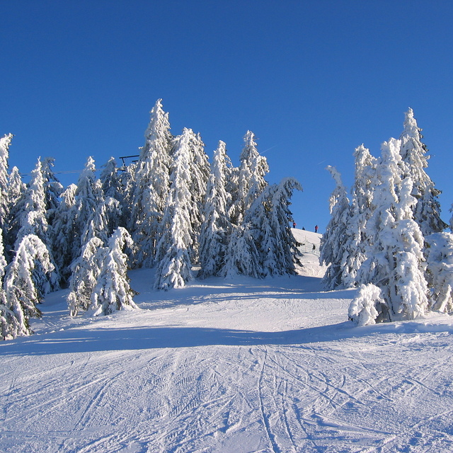
The first time I went to Scheffau was March 2014. The snow wasn't great but the pisters had done a fantastic job. Having had a great holiday I went back for a weekend break in January and a family trip in March. Thankfully, the snow was much better this year!
Scheffau is perfect for skiing the SkiWelt area as it's in the middle of the ski area. If you're travelling with children then this place is great, if it's their first time I would suggest the KinderKaiserland ski school as it's located at the top of the gondola and it's easy to come back during the day to see how they are getting on. If they have been before I would recommend ski School Ingrid Salvenmoser as it seemed quieter than the others and the groups are smaller. Having skied in France lots over the last 15-20 years it was refreshing coming back to Austria, so much cheaper than France and cleaner with picture postcard alpine buildings. Everytime I have stayed at the hotel kaiser in Tirol, I love this place, kids club in the evenings, fantastic food with free drink and it has everything you could wish for in a hotel. I've already booked up to go back next January and March!!
Free Snow-Forecast.com weather widget for your website
Embed the Scheffau (SkiWelt) weather widget on your site for free. It provides a weekly snapshot of snow and rain conditions across all elevations. Follow the two quick steps to grab your custom code and paste it into your site. Choose between metric or imperial units. Click here to get the code.


 Nearest