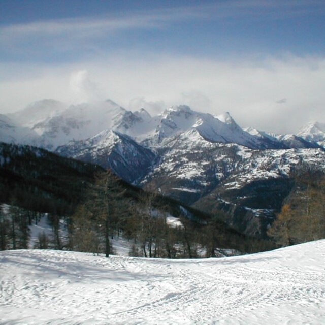
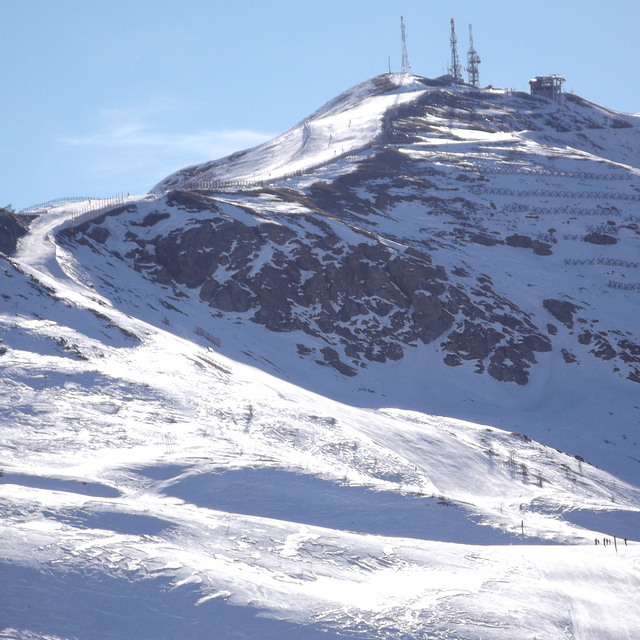
The above table gives the weather forecast for Sauze d'Oulx (Vialattea) at the specific elevation of 2823 m. Our sophisticated weather models allow us to provide snow forecasts for the top, middle and bottom ski stations of Sauze d'Oulx (Vialattea). To access the weather forecasts for the other elevations, use the tab navigation above the table. For a wider view of the weather, check out the Weather Map of Italy.
Click here to read further information on freezing levels and how we forecast our temperatures.
Resort name is also written as Sauze d'Oulx (Via Lattea).
Buongiorno, il giorno 04/03/2024 sono arrivato a Borgata di Sestriere per le ore 08:45 del mattino ed ho trovato gli impianti chiusi e la vostra app continuava a dire "A causa dell'abbondante nevicata, piste e impianti apriranno progressivamente. Per aggiornamenti in tempo reale consultare il sito e l'app Vialattea" bene cosa che ho continuato a verificare sull’app, ma fino alle 14:30, a quel punto sono andato via, mi dava aperto solo impianto BABY di Sestriere, allora ho chiamato voi per chiedere come procedere per un rimborso dello Skypass oppure un riutilizzo in altra giornata, mi è stato detto di fare un'email a questo indirizzo email “[email protected]” cosa che ho fatto. Sapete cosa mi hanno risposto, che le norme contrattuali non prevedono alcuna modalità né di rimborso né di reintegro del credito. Morale hai perso i soldi, ma vi sembra giusto, intanto le piste non erano sicure già dalla sera prima avevate l’obbligo e diritto di postare già la sera prima che il comprensorio era impraticabile e non sicuro e che non eravate certi di fornire il servizio, il vostro è un abuso di potere e una condotta scorretta nei confronti di noi utenti e clienti, non è giusto. Chiedo a tutti di far girare questo post in modo che si sappia che questa società “Vialattea Spa”, in barba alla sicurezza, ci avrebbe costretto a sciare solo per soldi e negandoci oltretutto un rimborso e/o un riaccredito da utilizzare in altra occasione nonostante le condizioni e di sicurezza inesistenti e gli impianti non funzionanti . Alla faccia della correttezza e dell'attenzione al cliente siete dei criminali.
Buongiorno, il giorno 04/03/2024 sono arrivato a Borgata di Sestriere per le ore 08:45 del mattino ed ho trovato gli impianti chiusi e la vostra app continuava a dire "A causa dell'abbondante nevicata, piste e impianti apriranno progressivamente. Per aggiornamenti in tempo reale consultare il sito e l'app Vialattea" bene cosa che ho continuato a verificare sull’app, ma fino alle 14:30, a quel punto sono andato via, mi dava aperto solo impianto BABY di Sestriere, allora ho chiamato voi per chiedere come procedere per un rimborso dello Skypass oppure un riutilizzo in altra giornata, mi è stato detto di fare un'email a questo indirizzo email “[email protected]” cosa che ho fatto. Sapete cosa mi hanno risposto, che le norme contrattuali non prevedono alcuna modalità né di rimborso né di reintegro del credito. Morale hai perso i soldi, ma vi sembra giusto, intanto le piste non erano sicure già dalla sera prima avevate l’obbligo e diritto di postare già la sera prima che il comprensorio era impraticabile e non sicuro e che non eravate certi di fornire il servizio, il vostro è un abuso di potere e una condotta scorretta nei confronti di noi utenti e clienti, non è giusto. Chiedo a tutti di far girare questo post in modo che si sappia che questa società “Vialattea Spa”, in barba alla sicurezza, ci avrebbe costretto a sciare solo per soldi e negandoci oltretutto un rimborso e/o un riaccredito da utilizzare in altra occasione nonostante le condizioni e di sicurezza inesistenti e gli impianti non funzionanti . Alla faccia della correttezza e dell'attenzione al cliente siete dei criminali.
Free Snow-Forecast.com weather widget for your website
Embed the Sauze d'Oulx (Vialattea) weather widget on your site for free. It provides a weekly snapshot of snow and rain conditions across all elevations. Follow the two quick steps to grab your custom code and paste it into your site. Choose between metric or imperial units. Click here to get the code.


 Nearest