


Portillo Storm Snowfall Total Passes 5m / 17 Feet
A snow storm that has now continued for nine days has taken Chilean ski resort Portillo to a snowfall total of 5.2 metres (17 feet) so far, with more snow forecast.

Next 4 days weather summary:Heavy rain (total 27.0mm), heaviest during Fri morning. Very mild (max 15°C on Wed morning, min 12°C on Fri afternoon). Wind will be generally light. | Days 5-7 weather summary:Heavy rain (total 39.0mm), heaviest during Sun afternoon. Very mild (max 14°C on Sun morning, min 12°C on Fri night). Wind will be generally light. | |||||||||||||||
Wednesday 29 | Thursday 30 | Friday 31 | Saturday 1 | Sunday 2 | ||||||||||||
night | AM | PM | night | AM | PM | night | AM | PM | night | AM | PM | night | AM | PM | night | |
clear | some clouds | t-storm risk | clear | t-storm risk | mod. rain | rain shwrs | t-storm risk | t-storm risk | rain shwrs | t-storm risk | t-storm risk | rain shwrs | mod. rain | t-storm risk | rain shwrs | |
km/h | ||||||||||||||||
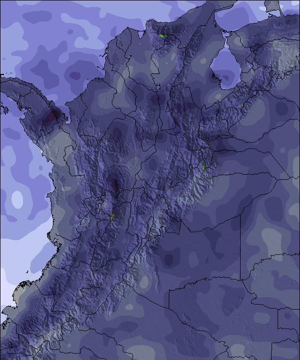
Snow map | 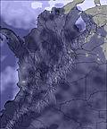 | 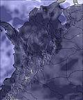 | 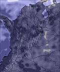 | 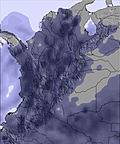 | 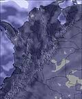 | 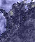 | ||||||||||
— | — | — | — | — | — | — | — | — | — | — | — | — | — | — | — | |
mm | — | — | 1 | — | 4 | 8 | 2 | 6 | 6 | 4 | 2 | 6 | 6 | 7 | 8 | 1 |
max °C | 13 | 15 | 14 | 15 | 15 | 13 | 14 | 14 | 13 | 13 | 13 | 13 | 13 | 14 | 13 | 14 |
min °C | 13 | 15 | 14 | 14 | 14 | 13 | 13 | 13 | 12 | 12 | 13 | 13 | 13 | 13 | 13 | 13 |
chill °C | 13 | 15 | 13 | 14 | 14 | 12 | 13 | 13 | 12 | 12 | 13 | 13 | 13 | 13 | 13 | 13 |
Humid % | 47 | 48 | 74 | 56 | 73 | 94 | 76 | 80 | 92 | 74 | 82 | 92 | 71 | 77 | 84 | 62 |
Freeze m | 5050 | 5250 | 5250 | 5200 | 5250 | 5150 | 5100 | 5050 | 5000 | 5050 | 5000 | 5000 | 5050 | 5050 | 5000 | 5050 |
— | 5:41 | — | — | 5:43 | — | — | 5:43 | — | — | 5:43 | — | — | 5:43 | — | — | |
— | — | 6:19 | — | — | 6:19 | — | — | 6:19 | — | — | 6:19 | — | — | 6:17 | — | |
Go pro and carve into:
Latest snow reports near Sierra Nevada de Santa Marta:
| Top snow depth: | — |
|---|---|
| Bottom snow depth: | — |
| Fresh snowfall depth: | 23 cm |
| Last snowfall: | 28 Mar 2023 |
| Snow Alerts | Create Alert |
0.0 | Bluebird Powder days Fresh snow, mostly sunny, light wind. |
|---|---|
0.0 | Powder days Fresh snow, limited sun, any wind. |
0.0 | Bluebird days Average snow, mostly sunny, light wind. |
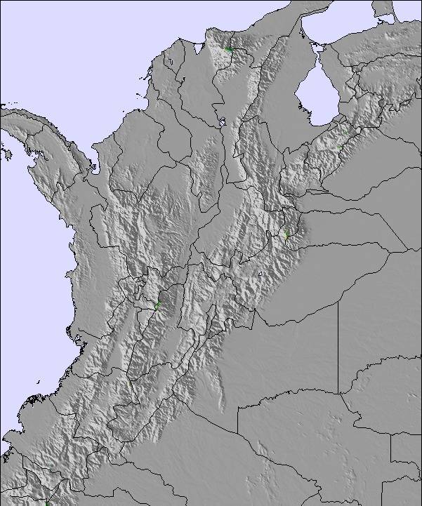
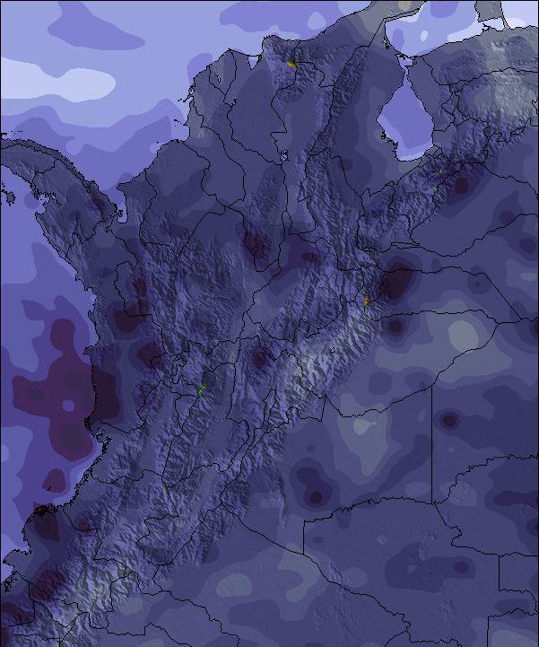
The above table gives the weather forecast for Sierra Nevada de Santa Marta at the specific elevation of 2896 m. Our sophisticated weather models allow us to provide snow forecasts for the top, middle and bottom ski stations of Sierra Nevada de Santa Marta. To access the weather forecasts for the other elevations, use the tab navigation above the table. For a wider view of the weather, check out the Weather Map of Colombia.
Click here to read further information on freezing levels and how we forecast our temperatures.
This is the perfect ski-touring mountain. Attach your skis to your backpack on the beach (don't forget a tent and food) and hike up for about a week until you find some snow around 5000m. Be aware that you will walk through jungle for a long time (a machete comes in handy) and that the indigenous population might not want you there. After all, the mountain is of some spiritual importance to them. Skin-up once you reach the glaciated and heavily crevassed terrain. There are a number of short (first) descends possible that will blow your mind. Consider spending a few days on the foot of the glacier. Once you are done, pack up again and relax on the nearby beaches after hiking down for 3-4 days.
Ralph from Colombia writes:
This is the perfect ski-touring mountain.
Attach your skis to your backpack on the beach (don't forget a tent and food) and hike up for about a week until you find some snow around 5000m. Be aware that you will walk through jungle for a long time (a machete comes in handy) and that the indigenous population might not want you there. After all, the mountain is of some spiritual importance to them.
Skin-up once you reach the glaciated and heavily crevassed terrain. There are a number of short (first) descends possible that will blow your mind. Consider spending a few days on the foot of the glacier.
Once you are done, pack up again and relax on the nearby beaches after hiking down for 3-4 days.
Read 4 more reviews of Sierra Nevada de Santa Marta or submit your own


 Nearest