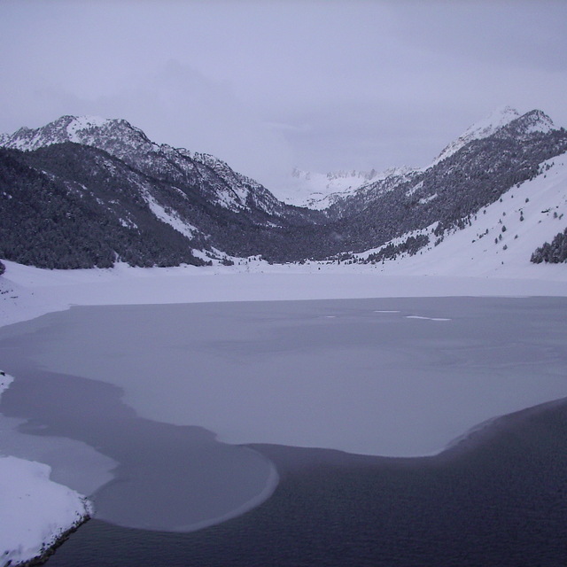
The above table gives the weather forecast for Saint Lary Soulan at the specific elevation of 1701 m. Our sophisticated weather models allow us to provide snow forecasts for the top, middle and bottom ski stations of Saint Lary Soulan. To access the weather forecasts for the other elevations, use the tab navigation above the table. For a wider view of the weather, check out the Weather Map of France.
Click here to read further information on freezing levels and how we forecast our temperatures.
(Ex-pat Brit living 1hr north of Toulouse)
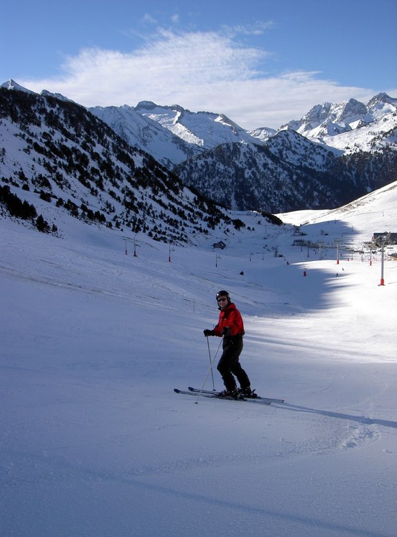
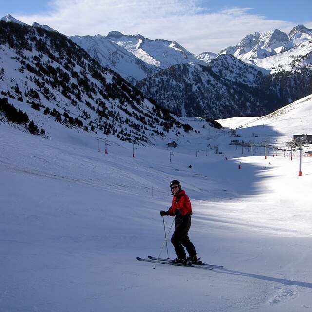
Took the family to Saint Lary Soulan last weekend, it was the first time skiing for any of us in the family, thus I cannot compare it to any other resort.
The village is quite small and friendly, and seemed to be very family orientated (particularly smaller/primary school aged children). Quite a few restaurants, although the vast majority are either Pizzerias or Creperies, although we did also find one British style pub and a Tapas bar, and a few more expensive traditional French restaurants, plan to eat early (1830) in high season, as they get full very quickly, or wait until after 2100. Many ski-hire shops with a vast range in hire-prices.
Ski-passes at Saint Lary Soulan also allow use of the 2 'tele-cabine' lifts from the village. The new tele-cabine is much faster (shorter queues), however, the older tele-cabine arrives directly in front of the ski-schools, both arrive at St-Lary 1700. A very busy 'half' of the resort, which also has many very young children in sleds; whose main purpose seems to be the crash into debutant skiers. Parking is more abundant at the new tele-cabine station.
For those with a car, and not attending the ski-school collective lessons, I would recommend driving up to St Lary 1900, with good parking at the top (private lessons with ESF can start from St Lary 1900). There is a rather old, but adequate, tele-cabine to take you up to Col du Portet (about 2200m) with some good but sparsely used, blue and red runs starting from there.
(Ex-pat Brit living 1hr north of Toulouse)
Took the family to Saint Lary Soulan last weekend, it was the first time skiing for any of us in the family, thus I cannot compare it to any other resort.
The village is quite small and friendly, and seemed to be very family orientated (particularly smaller/primary school aged children). Quite a few restaurants, although the vast majority are either Pizzerias or Creperies, although we did also find one British style pub and a Tapas bar, and a few more expensive traditional French restaurants, plan to eat early (1830) in high season, as they get full very quickly, or wait until after 2100. Many ski-hire shops with a vast range in hire-prices.
Ski-passes at Saint Lary Soulan also allow use of the 2 'tele-cabine' lifts from the village. The new tele-cabine is much faster (shorter queues), however, the older tele-cabine arrives directly in front of the ski-schools, both arrive at St-Lary 1700. A very busy 'half' of the resort, which also has many very young children in sleds; whose main purpose seems to be the crash into debutant skiers. Parking is more abundant at the new tele-cabine station.
For those with a car, and not attending the ski-school collective lessons, I would recommend driving up to St Lary 1900, with good parking at the top (private lessons with ESF can start from St Lary 1900). There is a rather old, but adequate, tele-cabine to take you up to Col du Portet (about 2200m) with some good but sparsely used, blue and red runs starting from there.
Free Snow-Forecast.com weather widget for your website
Embed the Saint Lary Soulan weather widget on your site for free. It provides a weekly snapshot of snow and rain conditions across all elevations. Follow the two quick steps to grab your custom code and paste it into your site. Choose between metric or imperial units. Click here to get the code.


 Nearest