
Future Of Saudi Arabia's Ski Resort Development Unclear
The status of a planned year-round outdoor ski area in Saudi Arabia is currently uncertain, and not just because of the current war in the region.


Saint Gervais Weather (Next 3 days): The snow forecast for Saint Gervais is: Moderate rain (total 10.0mm), heaviest on Sun night. Very mild (max 11°C on Tue afternoon, min 5°C on Sun morning). Wind will be generally light.
Saint Gervais Weather (Days 4-6): Mostly dry. Very mild (max 12°C on Thu afternoon, min 6°C on Fri night). Wind will be generally light.
| Resort | Snow Depth | Temp. (°C) | Wind (km/h) | Weather | ||
|---|---|---|---|---|---|---|
| Top Lift: | 3 | |||||
| Middle Lift: | 5 | |||||
| Bottom Lift: | 5 |

Sunday 5 | Monday 6 | Tuesday 7 | Wednesday 8 | Thursday 9 | Friday 10 | |||||||||||||
AM | PM | night | AM | PM | night | AM | PM | night | AM | PM | night | AM | PM | night | AM | PM | night | |
clear | risk thun- der | rain shwrs | clear | clear | clear | clear | clear | clear | clear | clear | clear | clear | clear | clear | clear | some clouds | clear | |
km/h | ||||||||||||||||||
Snow map |  |  |  |  |  |  | ||||||||||||
— | — | — | — | — | — | — | — | — | — | — | — | — | — | — | — | — | — | |
— | 2 | 8 | — | — | — | — | — | — | — | — | — | — | — | — | — | — | — | |
max °C | 8 | 9 | 7 | 8 | 10 | 8 | 10 | 11 | 9 | 9 | 11 | 8 | 10 | 12 | 9 | 9 | 11 | 9 |
min °C | 5 | 9 | 5 | 5 | 9 | 7 | 7 | 11 | 8 | 7 | 11 | 7 | 7 | 11 | 8 | 8 | 11 | 6 |
5 | 8 | 5 | 5 | 9 | 7 | 7 | 11 | 8 | 7 | 11 | 6 | 6 | 11 | 8 | 8 | 11 | 6 | |
61 | 60 | 84 | 59 | 56 | 57 | 31 | 46 | 55 | 36 | 57 | 63 | 29 | 42 | 53 | 56 | 62 | 84 | |
2900 | 2950 | 2650 | 2900 | 3000 | 3200 | 3300 | 3100 | 3300 | 3300 | 3100 | 3400 | 3350 | 3400 | 3450 | 3250 | 3100 | 3000 | |
7:05 | — | — | 7:03 | — | — | 7:03 | — | — | 7:01 | — | — | 6:58 | — | — | 6:56 | — | — | |
— | — | 8:05 | — | — | 8:07 | — | — | 8:07 | — | — | 8:08 | — | — | 8:10 | — | — | 8:12 | |
Moderate rain (total 10.0mm), heaviest on Sun night. Very mild (max 11°C on Tue afternoon, min 5°C on Sun morning). Wind will be generally light.
Mostly dry. Very mild (max 12°C on Thu afternoon, min 6°C on Fri night). Wind will be generally light.
Latest snow reports near Saint Gervais:
Spring conditions on piste. Light clouds dotting the sky. from Praz De Lys Sommand
| Top snow depth: | — |
|---|---|
| Bottom snow depth: | — |
| Fresh snowfall depth: | — |
| Last snowfall: | 31 Mar 2026 |
| Snow Alerts | Create Alert |
0.2 | Bluebird Powder days Fresh snow, mostly sunny, light wind. |
|---|---|
1.3 | Powder days Fresh snow, limited sun, any wind. |
0.6 | Bluebird days Average snow, mostly sunny, light wind. |
The above table gives the weather forecast for Saint Gervais at the specific elevation of 1875 m. Our sophisticated weather models allow us to provide snow forecasts for the top, middle and bottom ski stations of Saint Gervais. To access the weather forecasts for the other elevations, use the tab navigation above the table. For a wider view of the weather, check out the Weather Map of France.
Click here to read further information on freezing levels and how we forecast our temperatures.
Overall 4.3 Based on 40 votes and 21 reviews
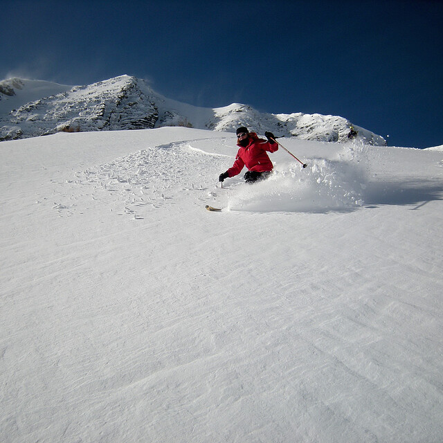
The whole Evasion Mont Blanc area remains exceptional with great tree-line skiing for all abilities and some challenging off-piste in the snow bowls off Mont Joly and Cote 2000. A good range of mountain restaurants from chic and pricey to home cooked value. Much recommended and following earlier comments, the picturesque but mighty slow Chattrix lift in the St Nicholas area will be replaced by a 6 seat TSK for 2020.
Andrew from United Kingdom writes:
The whole Evasion Mont Blanc area remains exceptional with great tree-line skiing for all abilities and some challenging off-piste in the snow bowls off Mont Joly and Cote 2000. A good range of mountain restaurants from chic and pricey to home cooked value. Much recommended and following earlier comments, the picturesque but mighty slow Chattrix lift in the St Nicholas area will be replaced by a 6 seat TSK for 2020.


 Nearest