

Niseko Announce New Gondola
Niseko Village has confirmed a major lift expansion that will reshape access on the southern side of the Niseko United ski area, with a new gondola scheduled to open next winter and a second stage planned for 2027–28.

Next 3 days weather summary:Moderate rain (total 11.0mm), heaviest on Wed afternoon. Very mild (max 16°C on Thu afternoon, min 9°C on Wed night). Wind will be generally light. | Days 4-6 weather summary:Mostly dry. Very mild (max 18°C on Mon afternoon, min 13°C on Sat night). Wind will be generally light. | ||||||||||||||||
Wed 1 | Thursday 2 | Friday 3 | Saturday 4 | Sunday 5 | Monday 6 | ||||||||||||
PM | night | AM | PM | night | AM | PM | night | AM | PM | night | AM | PM | night | AM | PM | night | |
t-storm risk | rain shwrs | clear | clear | clear | clear | some clouds | some clouds | clear | clear | clear | clear | clear | clear | clear | clear | clear | |
km/h | |||||||||||||||||
Snow map |  |  |  |  |  |  | |||||||||||
— | — | — | — | — | — | — | — | — | — | — | — | — | — | — | — | — | |
mm | 10 | 1 | — | — | — | — | — | — | — | — | — | — | — | — | — | — | — |
max °C | 12 | 11 | 13 | 16 | 15 | 14 | 16 | 14 | 14 | 17 | 15 | 15 | 17 | 16 | 16 | 18 | 17 |
min °C | 11 | 9 | 10 | 15 | 11 | 12 | 16 | 12 | 12 | 16 | 13 | 13 | 17 | 13 | 14 | 18 | 14 |
chill °C | 9 | 7 | 9 | 15 | 11 | 12 | 16 | 12 | 12 | 16 | 12 | 13 | 17 | 13 | 14 | 18 | 14 |
Humid % | 78 | 68 | 42 | 45 | 56 | 59 | 63 | 68 | 44 | 46 | 44 | 33 | 36 | 48 | 40 | 38 | 45 |
Freeze m | 3550 | 3550 | 4050 | 3950 | 4150 | 3900 | 4000 | 4300 | 4100 | 4100 | 4400 | 4150 | 4000 | 4100 | 4050 | 4100 | 4150 |
— | — | 5:46 | — | — | 5:47 | — | — | 5:48 | — | — | 5:48 | — | — | 5:48 | — | — | |
— | 9:27 | — | — | 9:27 | — | — | 9:25 | — | — | 9:25 | — | — | 9:25 | — | — | 9:24 | |
Go pro and carve into:
Avalanche information: European Avalanche Warning Services (EAWS)
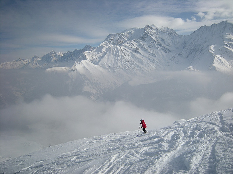
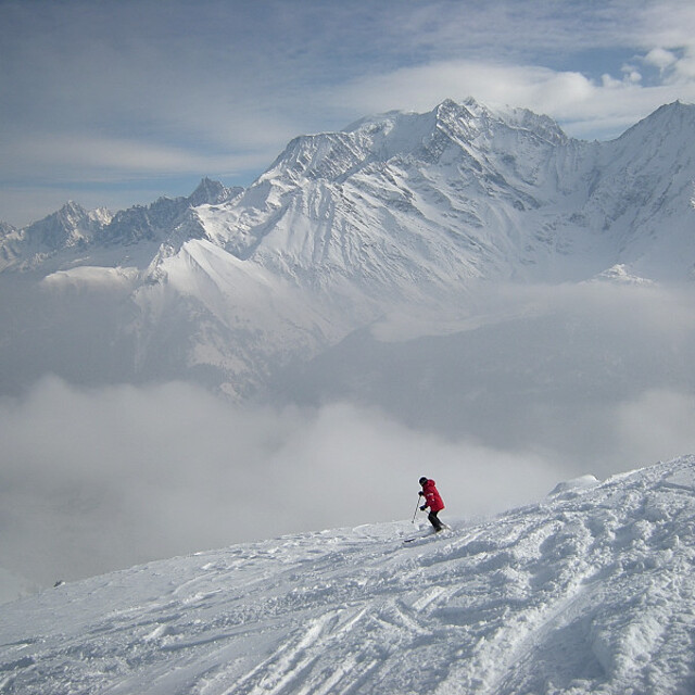
Latest snow reports near Saint Gervais:
| Top snow depth: | — |
|---|---|
| Bottom snow depth: | — |
| Fresh snowfall depth: | — |
| Last snowfall: | 16 May 2026 |
| Snow Alerts | Create Alert |
0.0 | Bluebird Powder days Fresh snow, mostly sunny, light wind. |
|---|---|
0.0 | Powder days Fresh snow, limited sun, any wind. |
0.0 | Bluebird days Average snow, mostly sunny, light wind. |
The above table gives the weather forecast for Saint Gervais at the specific elevation of 1875 m. Our sophisticated weather models allow us to provide snow forecasts for the top, middle and bottom ski stations of Saint Gervais. To access the weather forecasts for the other elevations, use the tab navigation above the table. For a wider view of the weather, check out the Weather Map of France.
Click here to read further information on freezing levels and how we forecast our temperatures.
Overall 4.3 Based on 40 votes and 21 reviews
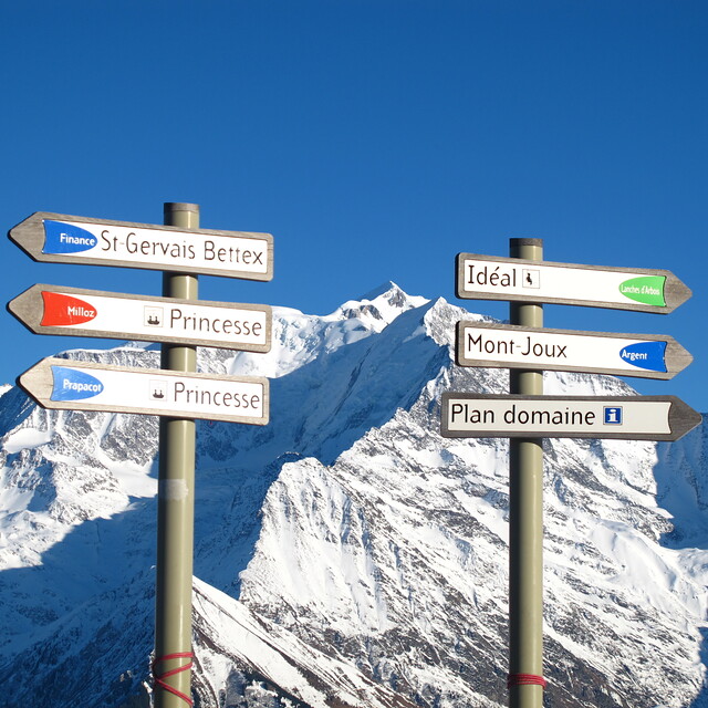
The whole Evasion Mont Blanc area remains exceptional with great tree-line skiing for all abilities and some challenging off-piste in the snow bowls off Mont Joly and Cote 2000. A good range of mountain restaurants from chic and pricey to home cooked value. Much recommended and following earlier comments, the picturesque but mighty slow Chattrix lift in the St Nicholas area will be replaced by a 6 seat TSK for 2020.
Andrew from United Kingdom writes:
The whole Evasion Mont Blanc area remains exceptional with great tree-line skiing for all abilities and some challenging off-piste in the snow bowls off Mont Joly and Cote 2000. A good range of mountain restaurants from chic and pricey to home cooked value. Much recommended and following earlier comments, the picturesque but mighty slow Chattrix lift in the St Nicholas area will be replaced by a 6 seat TSK for 2020.


 Nearest