The above table gives the weather forecast for Saint François Longchamp at the specific elevation of 1650 m. Our sophisticated weather models allow us to provide snow forecasts for the top, middle and bottom ski stations of Saint François Longchamp. To access the weather forecasts for the other elevations, use the tab navigation above the table. For a wider view of the weather, check out the Weather Map of France.
Click here to read further information on freezing levels and how we forecast our temperatures.
Resort name is also written as Saint Francois Longchamp.
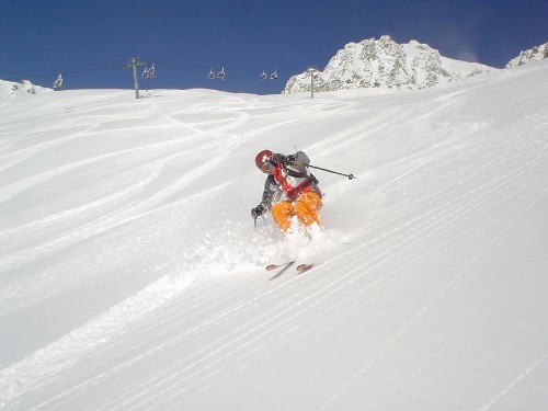
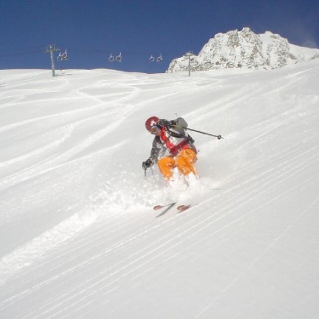
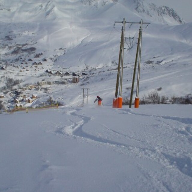
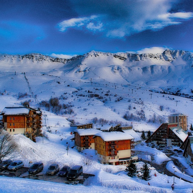
A great intermediate skiers paradise with a few stiff blacks thrown in for good measure. Great place to take the kids. Wide open pistes with few queues even at half-term. Cheaper than it's linked resort of Valmorel but using grand domaine pass you can easily ski into the Valmorel valley, although watch out, drinks stops in V are 30% more expensive than SFL. Stunning scenery but no real nightlife other than restaurants. Easy drive up from the valley: 15 mins on well maintained roads even when it has snowed. Fly out Friday and stay in Ibis budget at La Chambre (bottom of the valley) and be skiing by 9am on Saturday. Always snow sure. Some lovely accommodation all slope side with ski in/out available in most residence. Been 3 times and planning to return next year!
A great intermediate skiers paradise with a few stiff blacks thrown in for good measure. Great place to take the kids. Wide open pistes with few queues even at half-term. Cheaper than it's linked resort of Valmorel but using grand domaine pass you can easily ski into the Valmorel valley, although watch out, drinks stops in V are 30% more expensive than SFL. Stunning scenery but no real nightlife other than restaurants. Easy drive up from the valley: 15 mins on well maintained roads even when it has snowed. Fly out Friday and stay in Ibis budget at La Chambre (bottom of the valley) and be skiing by 9am on Saturday. Always snow sure. Some lovely accommodation all slope side with ski in/out available in most residence. Been 3 times and planning to return next year!
Free Snow-Forecast.com weather widget for your website
Embed the Saint François Longchamp weather widget on your site for free. It provides a weekly snapshot of snow and rain conditions across all elevations. Follow the two quick steps to grab your custom code and paste it into your site. Choose between metric or imperial units. Click here to get the code.


 Nearest