

Portillo Storm Snowfall Total Passes 5m / 17 Feet
A snow storm that has now continued for nine days has taken Chilean ski resort Portillo to a snowfall total of 5.2 metres (17 feet) so far, with more snow forecast.

Next 4 days weather summary:Moderate rain (total 15.0mm), heaviest on Sat afternoon. Warm (max 21°C on Fri afternoon, min 12°C on Fri night). Wind will be generally light. | Days 5-7 weather summary:Heavy rain (total 29.0mm), heaviest during Tue afternoon. Very mild (max 19°C on Sun afternoon, min 11°C on Tue afternoon). Wind will be generally light. | |||||||||||||||
Thursday 30 | Friday 31 | Saturday 1 | Sunday 2 | Monday 3 | ||||||||||||
night | AM | PM | night | AM | PM | night | AM | PM | night | AM | PM | night | AM | PM | night | |
rain shwrs | clear | clear | clear | clear | some clouds | light rain | some clouds | mod. rain | rain shwrs | some clouds | cloudy | some clouds | some clouds | cloudy | some clouds | |
km/h | ||||||||||||||||
Snow map |  |  |  |  |  |  | ||||||||||
— | — | — | — | — | — | — | — | — | — | — | — | — | — | — | — | |
mm | 4 | — | — | — | — | — | 5 | — | 6 | 10 | — | — | — | — | — | — |
max °C | 17 | 18 | 20 | 19 | 20 | 21 | 17 | 17 | 18 | 14 | 17 | 19 | 17 | 19 | 19 | 17 |
min °C | 15 | 16 | 20 | 16 | 17 | 20 | 12 | 15 | 14 | 12 | 15 | 18 | 15 | 16 | 19 | 14 |
chill °C | 15 | 16 | 20 | 16 | 17 | 20 | 12 | 15 | 14 | 12 | 15 | 18 | 15 | 16 | 19 | 14 |
Humid % | 61 | 45 | 39 | 49 | 36 | 42 | 63 | 53 | 82 | 62 | 50 | 53 | 57 | 41 | 46 | 55 |
Freeze m | 4300 | 4300 | 4600 | 4500 | 4600 | 4750 | 4500 | 4400 | 4350 | 4400 | 4450 | 4600 | 4500 | 4500 | 4550 | 4500 |
— | 5:43 | — | — | 5:45 | — | — | 5:46 | — | — | 5:48 | — | — | 5:48 | — | — | |
— | — | — | 8:45 | — | — | 8:45 | — | — | 8:44 | — | — | 8:42 | — | — | 8:40 | |
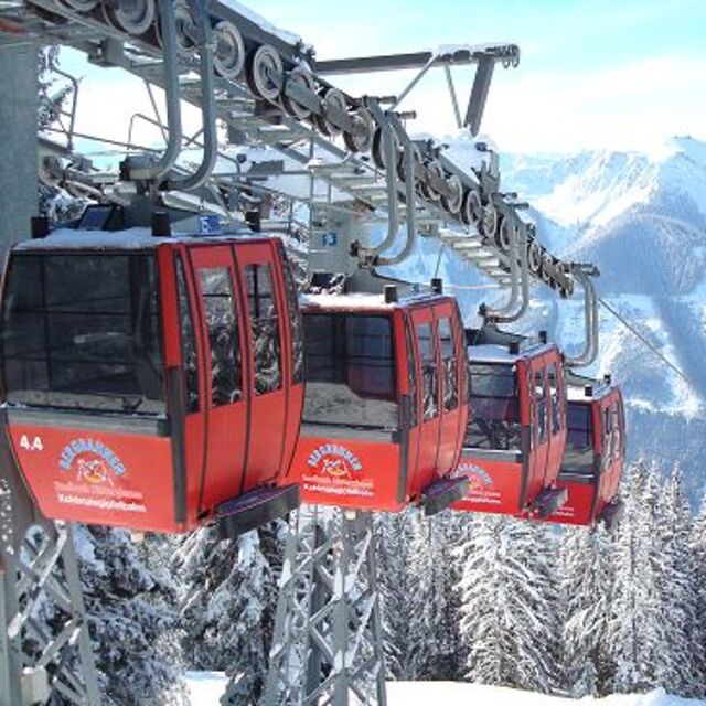
Go pro and carve into:
Avalanche information: European Avalanche Warning Services (EAWS)
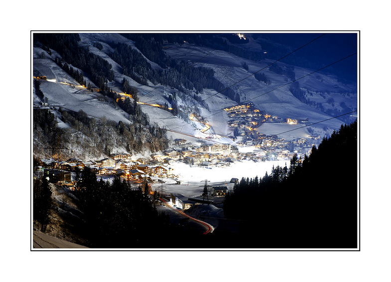
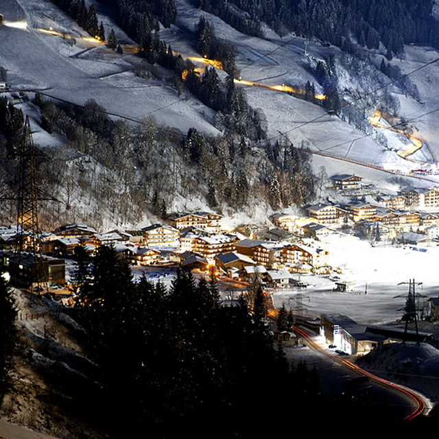
Latest snow reports near Saalbach Hinterglemm:
| Top snow depth: | — |
|---|---|
| Bottom snow depth: | — |
| Fresh snowfall depth: | — |
| Last snowfall: | 10 Jun 2026 |
| Snow Alerts | Create Alert |
0.0 | Bluebird Powder days Fresh snow, mostly sunny, light wind. |
|---|---|
0.0 | Powder days Fresh snow, limited sun, any wind. |
0.0 | Bluebird days Average snow, mostly sunny, light wind. |
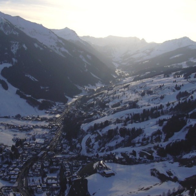
The above table gives the weather forecast for Saalbach Hinterglemm at the specific elevation of 2100 m. Our sophisticated weather models allow us to provide snow forecasts for the top, middle and bottom ski stations of Saalbach Hinterglemm. To access the weather forecasts for the other elevations, use the tab navigation above the table. For a wider view of the weather, check out the Weather Map of Austria.
Click here to read further information on freezing levels and how we forecast our temperatures.
Overall 4.3 Based on 38 votes and 47 reviews
It’s epic on a powder day - other than that it’s a total Jerry circus.
Ranger_dad from Germany writes:
It’s epic on a powder day - other than that it’s a total Jerry circus.
Read 46 more reviews of Saalbach Hinterglemm or submit your own


 Nearest