The above table gives the weather forecast for Saalbach Hinterglemm at the specific elevation of 1003 m. Our sophisticated weather models allow us to provide snow forecasts for the top, middle and bottom ski stations of Saalbach Hinterglemm. To access the weather forecasts for the other elevations, use the tab navigation above the table. For a wider view of the weather, check out the Weather Map of Austria.
Click here to read further information on freezing levels and how we forecast our temperatures.
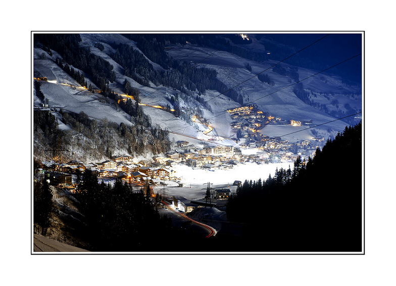
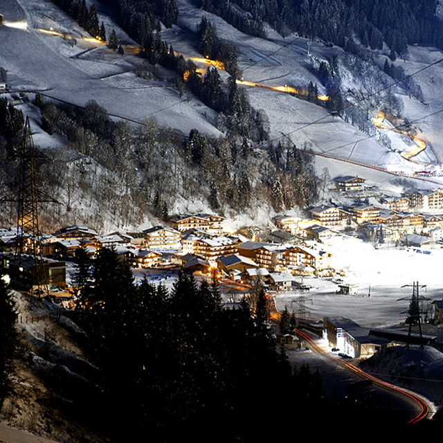
Just come back from a lovely time in Saalbach Hinterglemm. The people are very friendly and welcoming, lots of fun apres-ski, good skiing and lots of things for the non-skiers too.
Whilst we were there they had unprecedented amounts of snow to deal with. Everyone was making a tremendous effort to keep the roads clear and the pistes and resort safe. Quite a few of the links and runs were not open as a result. However, there was still plenty of fun to be had.
We normally go to France and felt that the lifts, general customer service / friendliness and prices for food and provisions were all much better. There's loads of really lovely places to eat in Hinterglemm and on the mountain which won't break the bank.
We had a non-skier with us and there was plenty to do. Lots of lovely walks, easy to get into Zell Am See to visit the pool or watch the ice hockey. The tree top walk at the Lengau is well worth a visit. ice skating, bowling, tobogganing. Plenty to keep busy.
On the downside, the links between lifts and runs at resort level were often complex and required quite a bit of walking and navigating your way around. I'd also say that this isn't the best resort for beginners, so wouldn't pick it if you and your family were having your first skiing holiday.
All in all, we really enjoyed the Austrian hospitality and would definitely visit again.
Free Snow-Forecast.com weather widget for your website
Embed the Saalbach Hinterglemm weather widget on your site for free. It provides a weekly snapshot of snow and rain conditions across all elevations. Follow the two quick steps to grab your custom code and paste it into your site. Choose between metric or imperial units. Click here to get the code.


 Nearest