

Global Weekly Snow Roundup #320
Weekly Snow News for the world, updated 25 June 2026: Chile and New Zealand's seasons proper set to begin, Tignes and Sunshine reopen for summer skiing. weekend as Riksgransen ends its 2026 season.

Next 4 days weather summary:Heavy rain (total 25.0mm), heaviest during Tue afternoon. Warm (max 23°C on Mon afternoon, min 17°C on Mon night). Wind will be generally light. | Days 5-7 weather summary:Moderate rain (total 14.0mm), heaviest on Fri afternoon. Very mild (max 19°C on Wed night, min 14°C on Fri night). Wind will be generally light. | |||||||||||||||
Monday 29 | Tuesday 30 | Wednesday 1 | Thursday 2 | Friday 3 | ||||||||||||
night | AM | PM | night | AM | PM | night | AM | PM | night | AM | PM | night | AM | PM | night | |
t-storm risk | some clouds | t-storm risk | rain shwrs | t-storm risk | t-storm risk | rain shwrs | clear | t-storm risk | rain shwrs | clear | rain shwrs | rain shwrs | clear | t-storm risk | rain shwrs | |
km/h | ||||||||||||||||
Snow map |  |  |  |  |  |  | ||||||||||
— | — | — | — | — | — | — | — | — | — | — | — | — | — | — | — | |
mm | 3 | — | 2 | 5 | 2 | 6 | 5 | — | 2 | 2 | — | 1 | 3 | — | 5 | 3 |
max °C | 21 | 21 | 23 | 20 | 19 | 20 | 18 | 19 | 21 | 19 | 17 | 19 | 17 | 18 | 18 | 17 |
min °C | 19 | 19 | 23 | 17 | 17 | 18 | 17 | 18 | 21 | 16 | 16 | 18 | 15 | 16 | 17 | 14 |
chill °C | 19 | 19 | 23 | 17 | 17 | 18 | 17 | 18 | 21 | 16 | 16 | 18 | 15 | 16 | 17 | 14 |
Humid % | 60 | 48 | 45 | 70 | 59 | 67 | 63 | 58 | 58 | 72 | 60 | 71 | 72 | 66 | 63 | 61 |
Freeze m | 4500 | 4500 | 4550 | 4400 | 4350 | 4350 | 4400 | 4300 | 4550 | 4400 | 4250 | 4400 | 4150 | 4050 | 4100 | 4000 |
— | 5:50 | — | — | 5:50 | — | — | 5:52 | — | — | 5:52 | — | — | 5:52 | — | — | |
— | — | — | 9:19 | — | — | 9:17 | — | — | 9:17 | — | — | 9:17 | — | — | 9:17 | |
Go pro and carve into:
Avalanche information: European Avalanche Warning Services (EAWS)
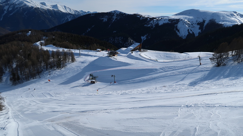
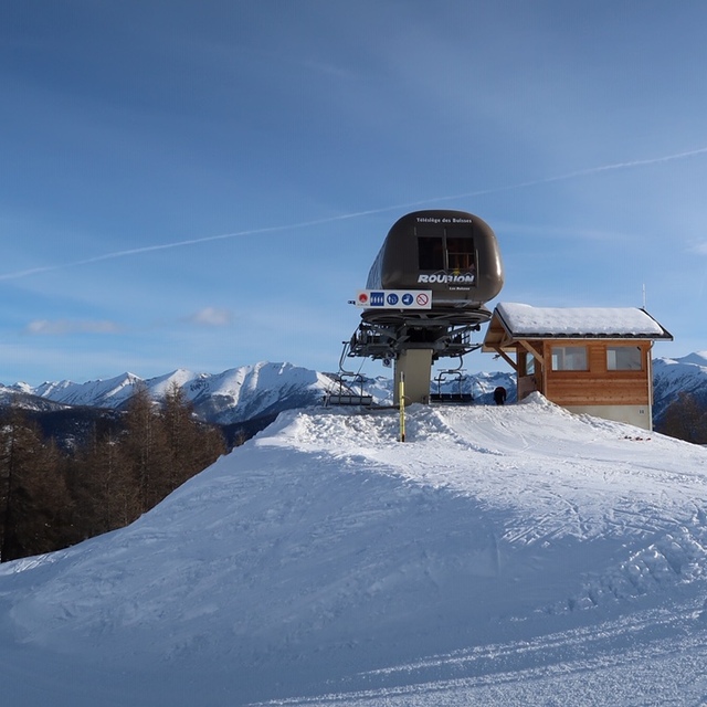
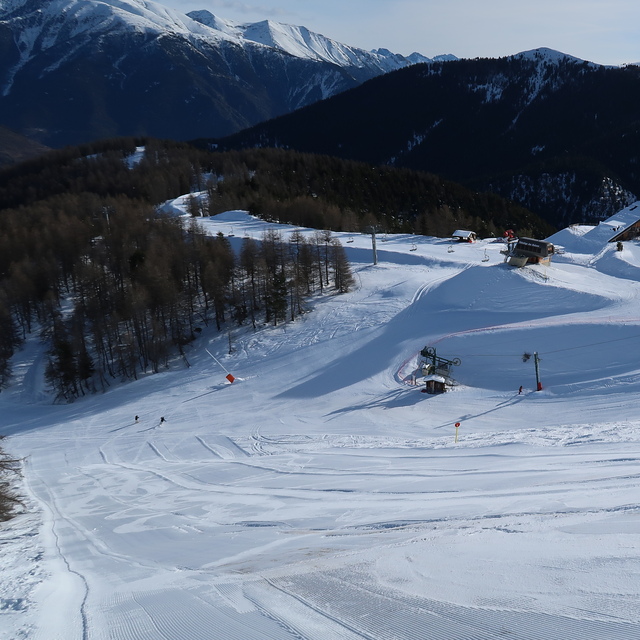
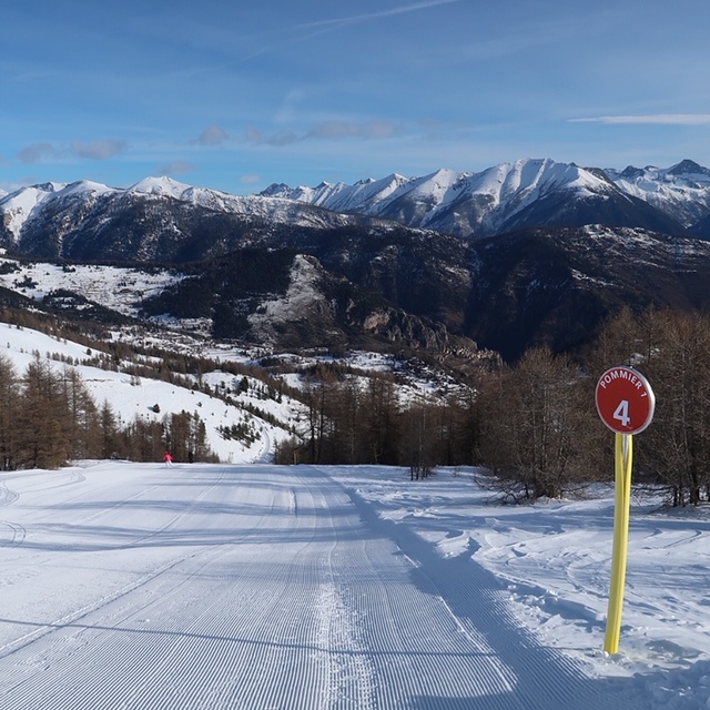
Latest snow reports near Roubion - Les Buisses:
| Top snow depth: | — |
|---|---|
| Bottom snow depth: | — |
| Fresh snowfall depth: | — |
| Last snowfall: | 15 May 2026 |
| Snow Alerts | Create Alert |
0.0 | Bluebird Powder days Fresh snow, mostly sunny, light wind. |
|---|---|
0.0 | Powder days Fresh snow, limited sun, any wind. |
0.0 | Bluebird days Average snow, mostly sunny, light wind. |
The above table gives the weather forecast for Roubion - Les Buisses at the specific elevation of 1665 m. Our sophisticated weather models allow us to provide snow forecasts for the top, middle and bottom ski stations of Roubion - Les Buisses. To access the weather forecasts for the other elevations, use the tab navigation above the table. For a wider view of the weather, check out the Weather Map of France.
Click here to read further information on freezing levels and how we forecast our temperatures.


 Nearest