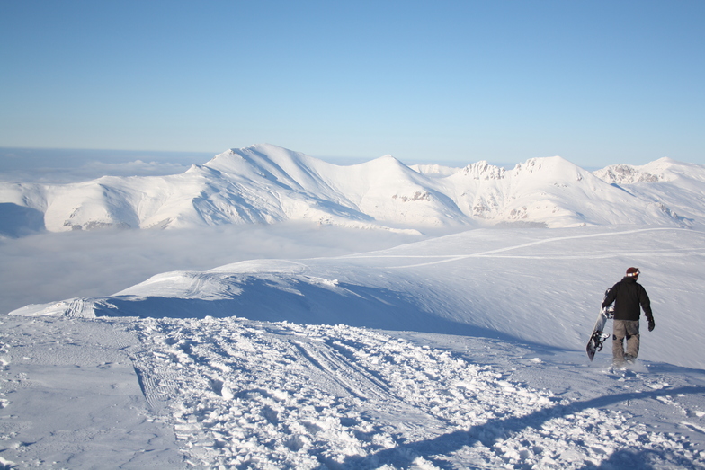


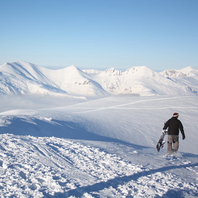
Global Weekly Snow Roundup #320
Weekly Snow News for the world, updated 25 June 2026: Chile and New Zealand's seasons proper set to begin, Tignes and Sunshine reopen for summer skiing. weekend as Riksgransen ends its 2026 season.

Next 4 days weather summary:Mostly dry. Warm (max 23°C on Sun afternoon, min 14°C on Sat night). Wind will be generally light. | Days 5-7 weather summary:Heavy rain (total 29.0mm), heaviest during Tue night. Warm (max 22°C on Wed afternoon, min 10°C on Thu night). Wind will be generally light. | |||||||||||||||
Sunday 28 | Monday 29 | Tuesday 30 | Wednesday 1 | Thursday 2 | ||||||||||||
night | AM | PM | night | AM | PM | night | AM | PM | night | AM | PM | night | AM | PM | night | |
some clouds | clear | clear | clear | clear | clear | some clouds | clear | some clouds | rain shwrs | t-storm risk | t-storm risk | rain shwrs | t-storm risk | t-storm risk | rain shwrs | |
km/h | ||||||||||||||||
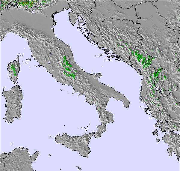
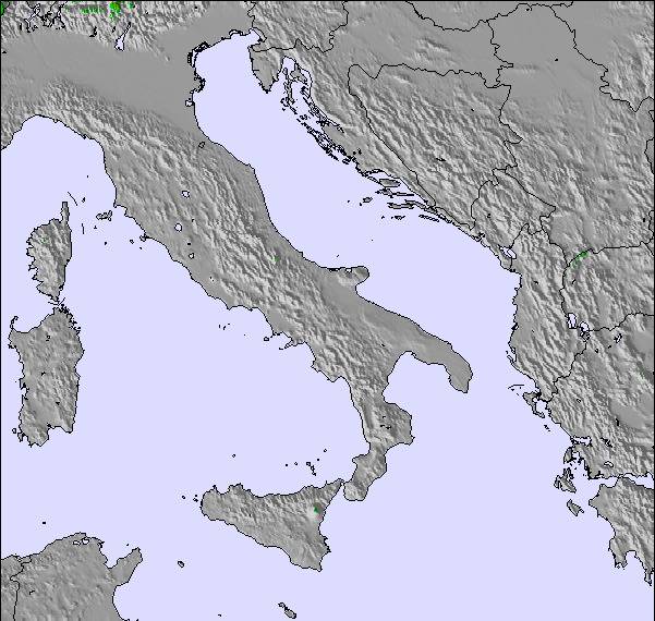
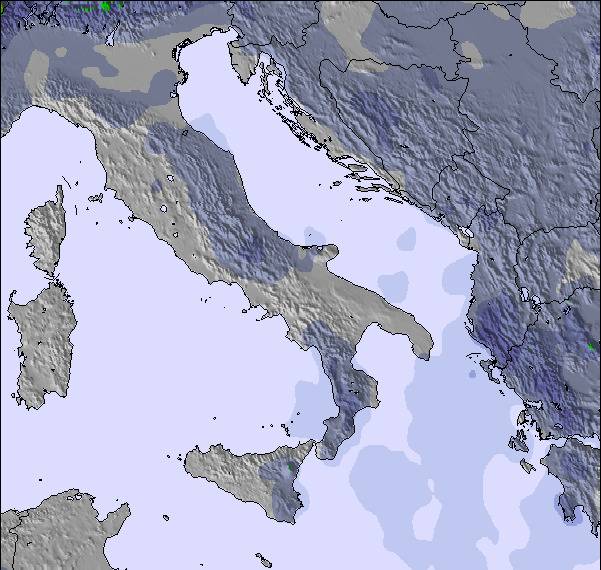
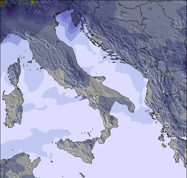
Snow map | 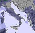 | 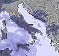 | 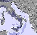 | 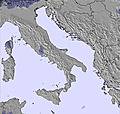 | 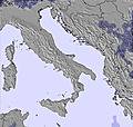 | 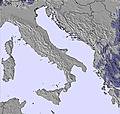 | ||||||||||
— | — | — | — | — | — | — | — | — | — | — | — | — | — | — | — | |
mm | — | — | — | — | — | — | — | — | — | 7 | 1 | 5 | 1 | 3 | 6 | 4 |
max °C | 19 | 20 | 23 | 19 | 21 | 23 | 20 | 21 | 23 | 16 | 20 | 22 | 15 | 16 | 16 | 12 |
min °C | 14 | 17 | 22 | 15 | 18 | 23 | 16 | 19 | 23 | 13 | 17 | 17 | 12 | 15 | 16 | 10 |
chill °C | 14 | 17 | 22 | 15 | 18 | 23 | 16 | 19 | 23 | 13 | 17 | 17 | 12 | 15 | 16 | 10 |
Humid % | 54 | 51 | 36 | 49 | 43 | 29 | 44 | 40 | 35 | 64 | 54 | 61 | 55 | 75 | 75 | 72 |
Freeze m | 4250 | 4400 | 4350 | 4250 | 4250 | 4400 | 4250 | 4150 | 4450 | 4200 | 4050 | 4200 | 4150 | 4000 | 4050 | 3800 |
— | 5:01 | — | — | 5:03 | — | — | 5:03 | — | — | 5:03 | — | — | 5:03 | — | — | |
— | — | — | 8:15 | — | — | 8:15 | — | — | 8:15 | — | — | 8:15 | — | — | 8:15 | |
Go pro and carve into:
Latest snow reports near Popova Sapka:
| Top snow depth: | — |
|---|---|
| Bottom snow depth: | — |
| Fresh snowfall depth: | — |
| Last snowfall: | 19 May 2026 |
| Snow Alerts | Create Alert |
0.0 | Bluebird Powder days Fresh snow, mostly sunny, light wind. |
|---|---|
0.0 | Powder days Fresh snow, limited sun, any wind. |
0.0 | Bluebird days Average snow, mostly sunny, light wind. |
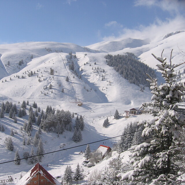
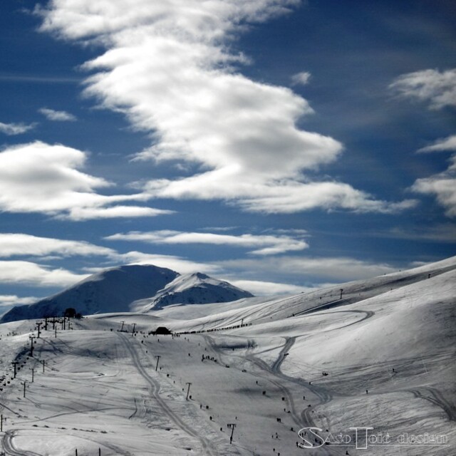
The above table gives the weather forecast for Popova Sapka at the specific elevation of 1670 m. Our sophisticated weather models allow us to provide snow forecasts for the top, middle and bottom ski stations of Popova Sapka. To access the weather forecasts for the other elevations, use the tab navigation above the table. For a wider view of the weather, check out the Weather Map of Rep. of N. Macedonia.
Click here to read further information on freezing levels and how we forecast our temperatures.
Overall 3.7 Based on 36 votes and 15 reviews
Beautiful mountain, wide tracks, a lot of freeride opportunities. What really bummed me was that everybody was throwing their trash basically everywhere. On the tracks, from the lifts; it's a shame! Long queues even though there was no new snow, so I suppose not a busy weekend. Very slow lifts and to top it off 2 person benches on them. So, basically, 20 minute wait plus 20 minute ride on the lift for the longer one. It could be a great resort but not in this scenario. Accommodation is too expensive for what it offers; our host's attitude was very much in "ден година храни" as we say in Bulgaria style - i.e. he ripped us off and wanted more money than we have agreed on. Food is cheap and delicious.
hanna from Bulgaria writes:
Beautiful mountain, wide tracks, a lot of freeride opportunities. What really bummed me was that everybody was throwing their trash basically everywhere. On the tracks, from the lifts; it's a shame! Long queues even though there was no new snow, so I suppose not a busy weekend. Very slow lifts and to top it off 2 person benches on them. So, basically, 20 minute wait plus 20 minute ride on the lift for the longer one. It could be a great resort but not in this scenario. Accommodation is too expensive for what it offers; our host's attitude was very much in "ден година храни" as we say in Bulgaria style - i.e. he ripped us off and wanted more money than we have agreed on. Food is cheap and delicious.

 Nearest