The above table gives the weather forecast for Peisey/Vallandry at the specific elevation of 2401 m. Our sophisticated weather models allow us to provide snow forecasts for the top, middle and bottom ski stations of Peisey/Vallandry. To access the weather forecasts for the other elevations, use the tab navigation above the table. For a wider view of the weather, check out the Weather Map of France.
Click here to read further information on freezing levels and how we forecast our temperatures.
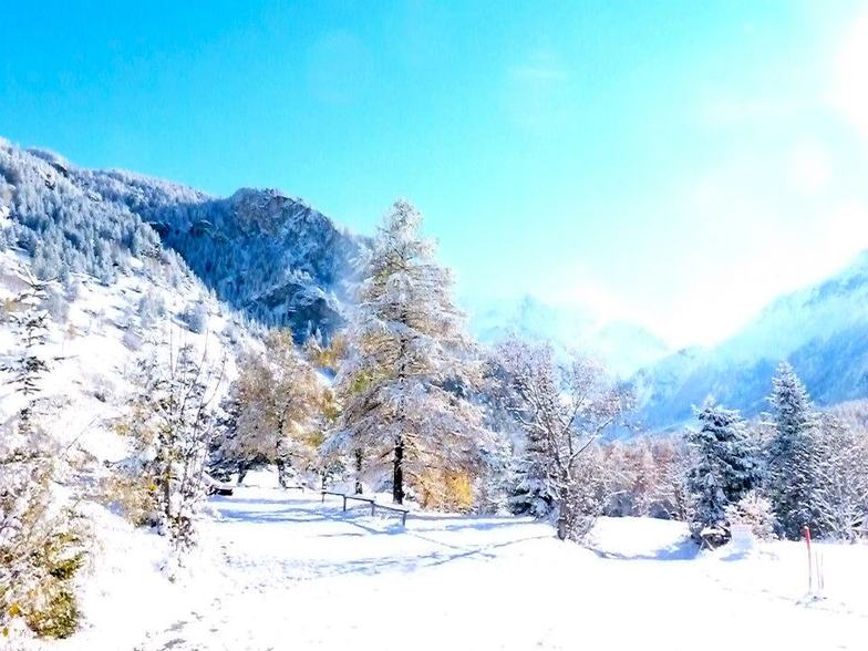
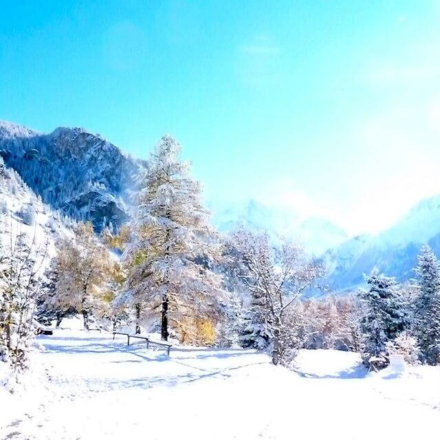
March 30 2013. We came here with a party of 15 ranging from mid 50's to a 10 year old. Skiing and boarding experience was equally varied, from expert to first time boarder. The village is a fantastic base from which to explore the whole of the paradiski. The links to Les Arc are much quicker than we had expected. The Derby chair lift is the place to aim for to get across to Les Arc as the main gondola from 1850 stops at the mid point of a run at the left of the top of Derby. The runs back to the villages of Peisey and Vallendry are all tree lined and wide, and are ideal for cruisers and beginners. ESF was fantastic. Our children had both skiing and boarding lessons and made great progress and had a nice time. They even split a class of 9 kids into 2 groups!! The village lacks character but has some nice restaurants for lunch by the main chair lifts. We stayed in a little village that was accessible by 'lobster pots' below Peissey. It was a charming village, with a few bars and restaurants. It was very English with lots of Chalets owned by British companies. The late snow and cold conditions this year made it the best Easter skiing in 20 years. An ideal base for families but not a great deal to do once you are off the slopes.
March 30 2013. We came here with a party of 15 ranging from mid 50's to a 10 year old. Skiing and boarding experience was equally varied, from expert to first time boarder. The village is a fantastic base from which to explore the whole of the paradiski. The links to Les Arc are much quicker than we had expected. The Derby chair lift is the place to aim for to get across to Les Arc as the main gondola from 1850 stops at the mid point of a run at the left of the top of Derby. The runs back to the villages of Peisey and Vallendry are all tree lined and wide, and are ideal for cruisers and beginners. ESF was fantastic. Our children had both skiing and boarding lessons and made great progress and had a nice time. They even split a class of 9 kids into 2 groups!! The village lacks character but has some nice restaurants for lunch by the main chair lifts. We stayed in a little village that was accessible by 'lobster pots' below Peissey. It was a charming village, with a few bars and restaurants. It was very English with lots of Chalets owned by British companies. The late snow and cold conditions this year made it the best Easter skiing in 20 years. An ideal base for families but not a great deal to do once you are off the slopes.
Free Snow-Forecast.com weather widget for your website
Embed the Peisey/Vallandry weather widget on your site for free. It provides a weekly snapshot of snow and rain conditions across all elevations. Follow the two quick steps to grab your custom code and paste it into your site. Choose between metric or imperial units. Click here to get the code.


 Nearest